Tamarack Fire Update: Firefighters Turn Back Flames Near Woodfords; Local Residents Question Initial Fire Response
MARKLEEVILLE, Alpine County (CBS SF) -- As firefighters battled a wall of flames burning through miles of tinder-dry trees and brush in the Sierra near Lake Tahoe early Tuesday, local residents were questioning the initial U.S. Forest Service response to the blaze that began smoldering after a July Fourth weekend lightning strike.
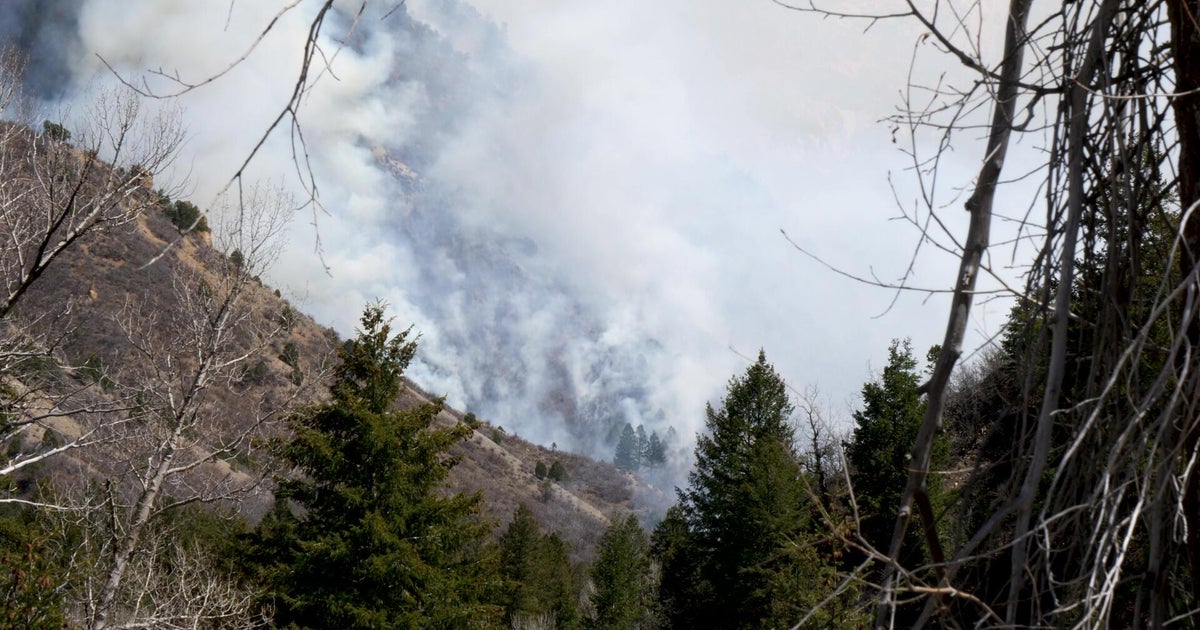
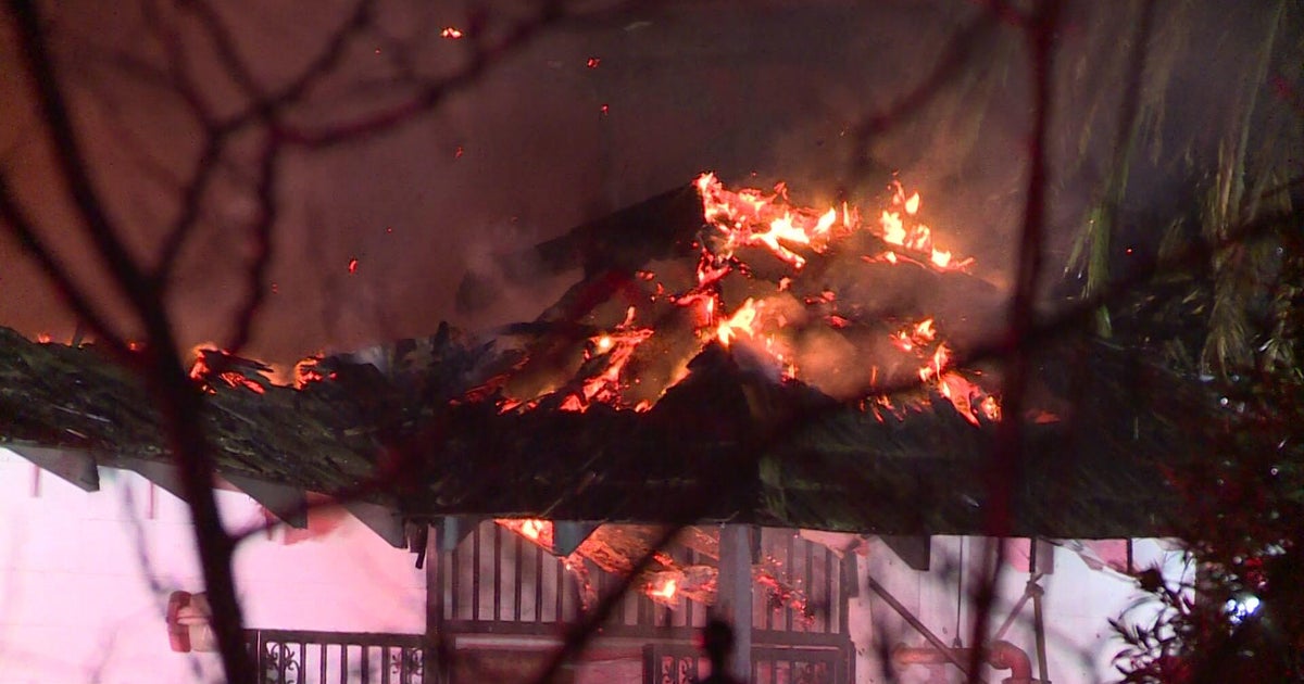
The wind-whipped fire rapidly advanced to the northwest on Monday.
"There was a lot of fire movement and significant growth yesterday to the northeast," said operations section chief Pat Seekins at his Tuesday morning briefing. "This will continue to be a high priority today."
Of particular focus will be protecting the Highway 395 corridor.
"There are lot of homes in there," he said.
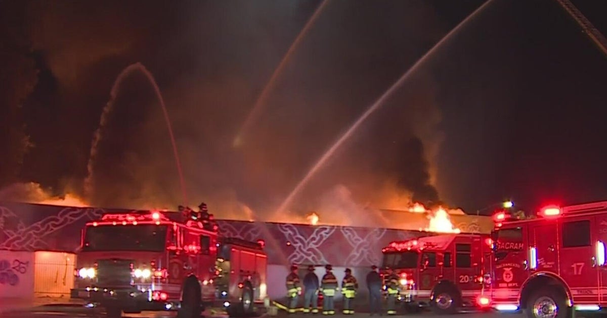
Firefighters were able to aggressively battle the advancing flames overnight and protect homes being threatened in the Woodfords Community area.
The flames, whipped up from winds by thundershowers, also advanced overnight toward Hawkins Peak outside of Markleeville and its communication towers.
While residents took to social media to thank firefighters for their efforts, many were also wondering why it took so long to get enough resources in the area to halt the Tamarack Fire's rapid growth.
The fire began as one of nearly two dozen small blazes ignited in the Sierra wilderness by lighting strikes. The fire roared to life on Friday, quickly growing from 500 acres to more than 39,000 acres by early Tuesday.
At the time it exploded to life, there were 50 firefighters assigned to monitor the fire. They were quickly overwhelmed, but were able to successfully keep the flames from burning through the center of the evacuated community of Markleeville.
By Tuesday morning, there were 1100 firefighters manning the lines. There was still zero containment.
Great Basin Team 3 spokesman Jesse Carpenter explained the fire attack plan. The Beckwourth Complex fire roared to life on July 3rd and was raging to the north in the Plumas National Forest. It and the massive Bootleg Fire in Oregon were the focus of the Forest Service's fire response.
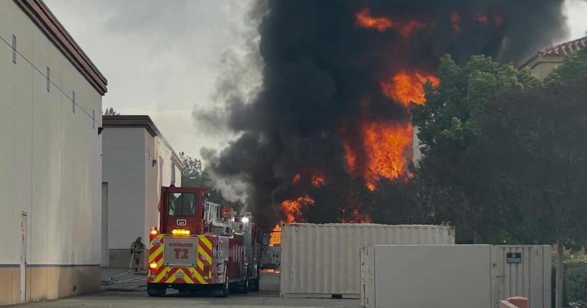
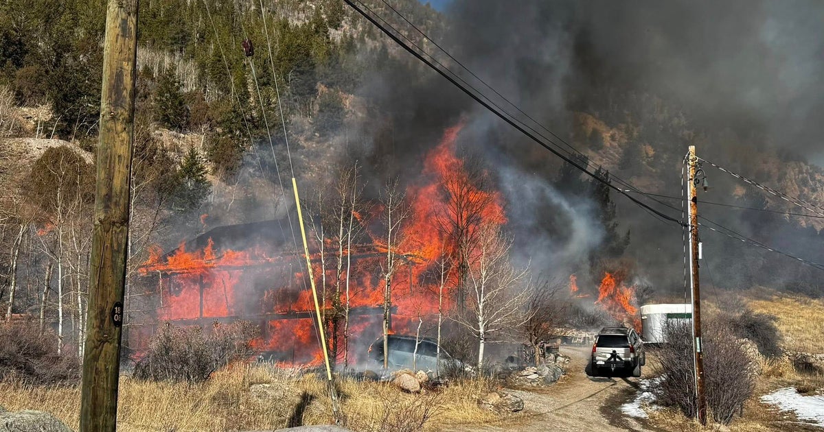
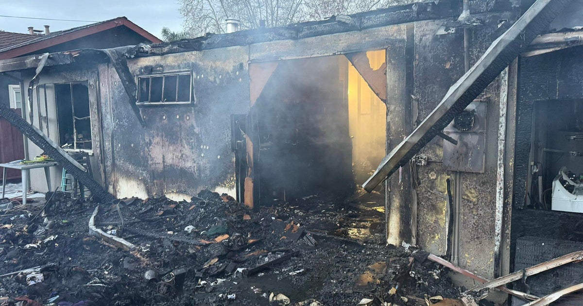
Flames ripped through Doyle, destroying homes and forcing residents to flee for safety. On Tuesday morning, there were 1,174 firefighters on the line, the burn zone had grown to 39,045 acres.
"So there were larger fires at that time that were that were a higher priority," Carpenter said. "This one (the Tamarack Fire) was lightning strike fire up in the sparse fuels so they decided to monitor it from the air and from fire cameras."
"The winds picked up, we had low humidities, low fuel moistures and that's what caused it to really get to the size it is now."
But high winds and the mountainous terrain whipped the fire out of control.
On Monday, the Alpine County Sheriff's Office ordered the mandatory evacuation of Blue Lakes Road which runs west of the fire perimeter.
The evacuation orders were also in place for Markleeville, Grover's Hot Springs Park and Campground, Shay Creek, Markleeville Village, the Poor Boy Road area, Carson River Resort, Sierra Pines, Upper and Lower Manzanita, Crystal Springs, Diamond Valley Road, Hung A Le Ti, Alpine Village and Woodfords.
Among those forced from their homes was Rodney Pryor, who lives in Shay Creek.
"They gave me a good couple of hours before they said, 'You gotta get out now!'" he said. "So I got a whole lot of stuff into my RV. All my valuable things."
As the fire advance, Jamie Johnson -- who was forced from her home in Markleeville -- offered some words of wisdom to others.
"If you're waiting and they've told you to evacuate… Fires they move…. Get to safety… a house is replaceable," she said.
On Tuesday, forest service officials said the expect the blaze to continue to advance to the northeast.
"The fire is anticipated to continue to be extreme to very active as warmer and dry weather conditions return," the service said in its Tuesday update. "Fuels are critically dry and fire indexes at record levels. Fire spread to the northeast is anticipated."
The wildfire also forced the closure of Highway 89 at the Highway 4 intersection. Highway 4 remains open west of the junction.
On Sunday, the advancing flames forced federal park officials to shut down the Pacific Crest Trail was also closed between Carson Pass (Highway 88) and Ebbetts Pass (Highway 4). The trail spans 2,650 miles from Mexico to Canada and has attracted thousands of hikers. It is divided into five regions: Southern California, Central California, Northern California, Oregon, and Washington.
