Update: Storm front brings thunder, lightning, downpours and snow to Bay Area
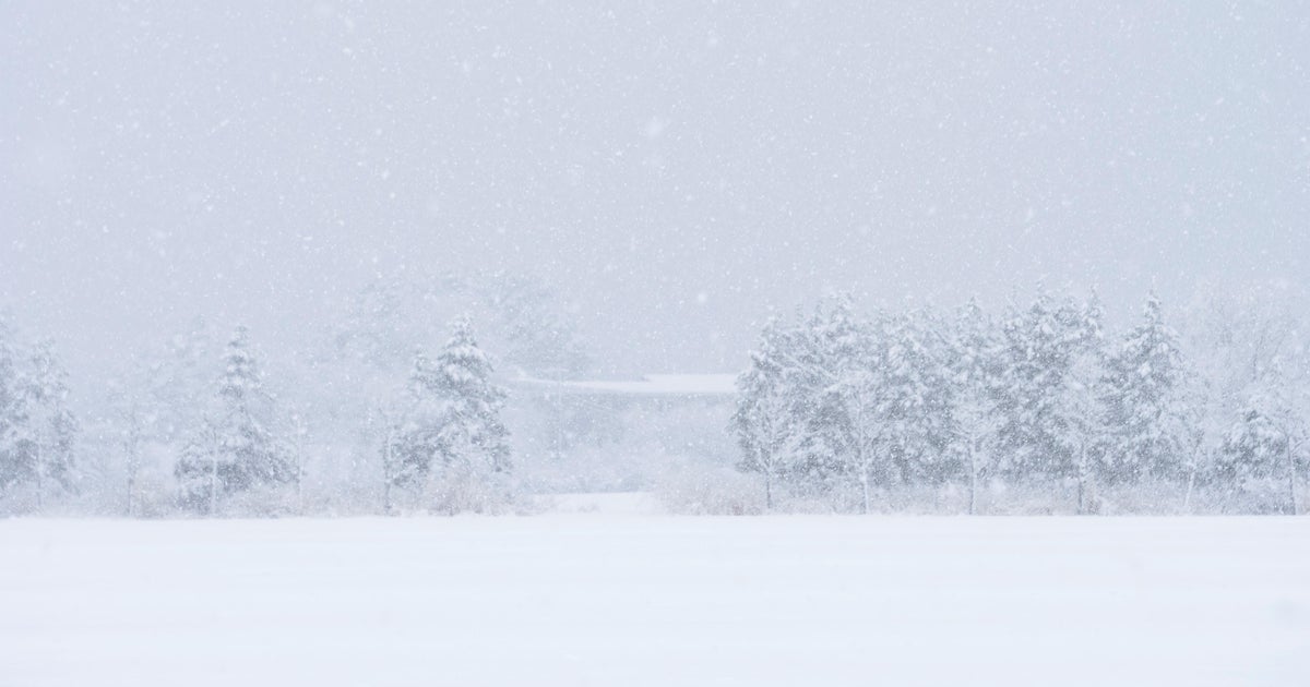
SAN FRANCISCO -- The latest in a series of storm fronts roared into the San Francisco Bay Area Monday morning, triggering a winter weather advisory for snow in the higher elevations and a threat of thunder and lightning.
KPIX meteorologist Jessica Burch predicted the brunt of the storm would begin impacting the North Bay around 8 a.m. and then would "sweep across the Bay Area like a windshield wiper."
By 9:30 a.m. a line of strong storm cells will roar into San Francisco and then hit the San Jose area by 11:30 a.m.
The National Weather Service issued a series of special weather statements for much of the Bay Area on Monday morning, warning of strong winds, intense downpours, hail, lightning and thunder.
KPIX 5 First Alert Weather: Current Conditions, Forecasts, Alerts For Your Area
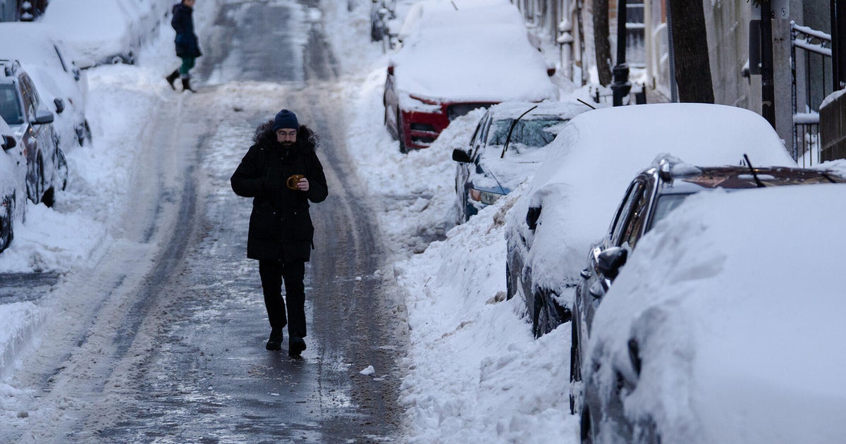
The front will be adding to the impressive snow totals dating back to late last week for the hills and mountains in the East and South Bay.
The weather service has issued a winter weather advisory for the East Bay Hills, Diablo Range, Gabilan Range, Santa Lucia Range, and the interior mountains of Monterey and San Benito counties.
"The chance for snow showers is expected to arrive early Monday morning with steadier snowfall Monday afternoon and evening," weather service forecasters warned. "Total snow accumulations 5 to 10 inches for elevations above 3000 ft locally over 1 foot above 4000 ft through Tuesday. A wintry mix down to 2500 feet is possible with a coating to 3 inches of snow."
And how much rain can other parts of the region expect?
"Rainfall amounts of 0.75-1.25" are expected in the North Bay mountains and coastal ranges, 0.25-0.75" for lower elevations, and 0.25" or less for drier areas such as the southern Salinas Valley," forecasters warned.
Storm-related impacts continued to affect Bay Area traffic and BART on Monday afternoon, with some roads flooded by heavy rains or closed due to snow.
El Camino Real in Palo Alto is closed in both directions due to flooding at the University Avenue underpass, police said about 12:30 p.m. Previously one lane was open in each direction.
Also in Palo Alto, Page Mill road is closed again due to snow in the road, between Moody Road and Skyline Boulevard.
The California Highway Patrol was also reporting flooding on roadways, including two northbound lanes along Interstate Highway 680 near Sunol Boulevard, near Pleasanton, on Monday afternoon.
The rain is also affecting BART, which is running trains slower on Monday due to the wet weather. Passengers should add 20 minutes to planned travel time to factor in delays, BART officials said.
Just under 5,400 PG&E customers in the Bay Area were without power early Monday evening as crews work to repair storm-related outages.
The number is down from 11 a.m., when nearly 10,000 customers were affected.
Since Feb. 21, winter storms have knocked out power to more than 1 million PG&E customers across California, including 400,000 in the Bay Area, according to PG&E.
As of 5 p.m., the South Bay had the largest number in the Bay Area without power, with 3,268 customers affected, according to PG&E.
In the North Bay, 1,438 were without power, and the Peninsula had 195 affected. The East Bay had 489 without power and just 5customers were affected in San Francisco.
A third weather system was predicted to arrive on Tuesday before a break in the stormy forecast was expected on Wednesday.
"This mid/upper-level trough will sweep through the region Tuesday morning/afternoon resulting in additional precipitation, both in the form of rain showers and high elevation snow showers," the weather service said.
