Storm could bring low-level snow to California next week
SACRAMENTO — California is expected to return to a wet weather pattern with snowfall down to unusually low elevations next week after a largely dry February, forecasters said Friday.
A cold system dropping south from British Columbia will stall over central California, bringing an extended period of precipitation, the National Weather Service said.
In the state's far northwest snow levels could drop to nearly 500 feet (152 meters) late Tuesday and overnight, the Eureka weather office said. In the Central Valley, a similar outlook for Wednesday was issued by Sacramento forecasters.
"This is going to be an exceptionally cold airmass," UCLA climate scientist David Swain said in an online briefing.
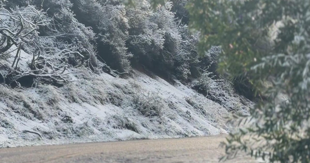
But he cautioned against taking literally weather model maps showing significant sea level snow in Northern California. Rather, he said, locations between 1,000 and 1,500 feet (305-457 meters) could see accumulating snow.
The expected precipitation is more good news for the Sierra Nevada snowpack, which supplies about a third of California's water.
The snowpack is above average due to early winter atmospheric rivers that hit the state but water officials have worried that the gains could be eroded if the rest of winter returned to the dry conditions that fueled years of drought.
San Francisco's rainfall total, for example, is well above average for the season to date because of the early storms but it is almost an inch (2.5 centimeters) below normal for this month.
Forecasters noted that the coming storm is not an atmospheric river and without a deep tropical plume of moisture the precipitation totals will likely only add up due to long duration, which can happen when systems stall.

