Real-Time Parking Spot Locator Launched For Some SF Streets
SAN FRANCISCO (CBS SF) - Drivers can now get real-time parking information for some streets in San Francisco.
SFpark, a two-year pilot program unveiled last year, entered a key new phase Thursday with the distribution of parking information collected by meters and sensors about where parking is available so drivers can quickly find spaces.
KCBS' Barbara Taylor Reports:
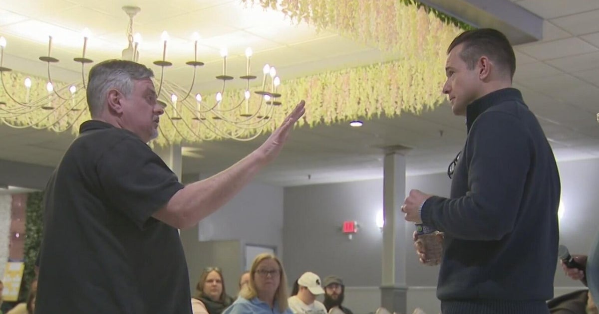
Mayor Ed Lee and several other officials gathered at City Hall to celebrate the milestone, which they said will reduce energy use and pollution from drivers circling the block in search of parking.
Lee said the city's current parking system doesn't make sense.
"When you're driving around and looking for a parking space ... you're dumb," Lee said. "We want to get smarter at it."
The information, which will only be for select neighborhoods for now, will be available at www.sfpark.org or via a free iPhone application.
CBS SF's Beth Spotswood had little success when she put the phone version to the test for a CBS 5 report by Joe Vazquez.
An application for Google's Android smartphone will also be available in a couple of weeks, San Francisco Municipal Transportation Agency Executive Director Nat Ford said.
Over the coming months, the program will begin to charge drivers based on overall demand, with higher parking rates for more crowded neighborhoods and lower rates for areas with empty spots.
The rates would be adjusted no more than once a month and in increments of no more than 50 cents per hour.
The program, which received 80 percent of its funding from a $19.4 million federal grant, covers roughly a quarter of the city's 28,800 metered parking spaces and more than 12,000 spaces in 15 of its city-owned garages.
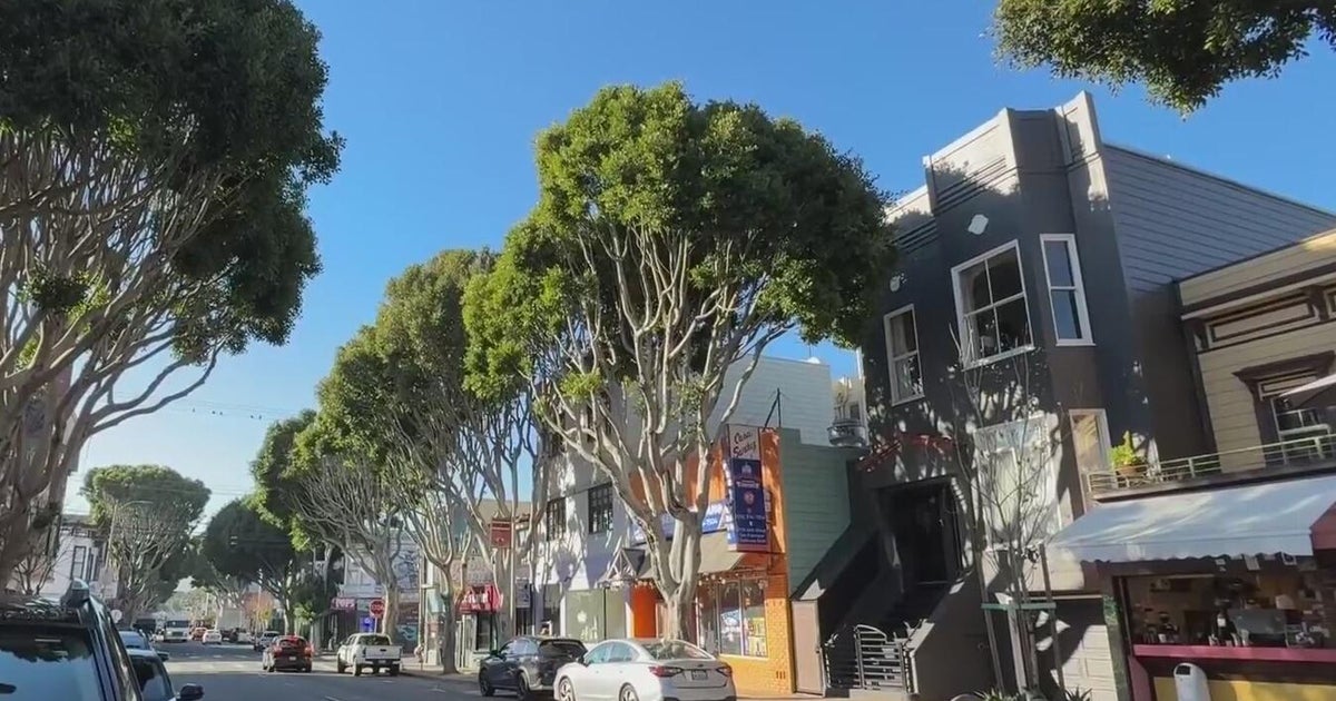
The neighborhoods covered include the Civic Center, Hayes Valley, Financial District, South of Market, Mission, Fisherman's Wharf, Fillmore, and Marina neighborhoods.
The SFpark website and smartphone apps show a color-coded map of the neighborhoods, with red marks signifying blocks with little or no parking, light blue marks showing moderate amounts of available parking spaces, and dark blue marks signifying areas with many open spots.
Ford said there are concerns about people using the smartphone app to look for open spots while driving despite the state's ban on usage of handheld devices while behind the wheel.
To mitigate that problem, the app includes a warning against handheld devices that is set off when a driver travels faster than 10 mph, he said.
KCBS and Chronicle Insider Phil Matier:
Ford said the SFMTA is also providing the information in an open data stream for outside developers who might want to incorporate it into other devices, such as GPS navigation systems.
He said the city "has tried many different approaches over the years" in dealing with congestion on city streets, and said he hopes the SFpark program will "set a powerful example for cities around the world."
For more information on the program, and to download the iPhone app, visit www.sfpark.org.
(Copyright 2011 by CBSSan Francisco. All Rights Reserved. This material may not be published, broadcast, rewritten, or redistributed. Wire services may have contributed to this report.)
