Rain set to return to the Bay Area Wednesday morning
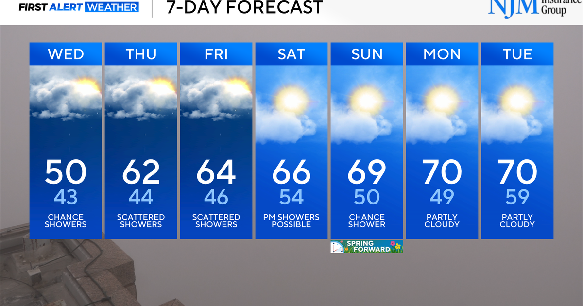
The National Weather Service expects rain to return to the Bay Area on Wednesday night and hang around through early Friday.
From Cloverdale in the north to San Jose in the south, people can expect up to a quarter inch to a half inch of rain, forecasters said Sunday. Though the precipitation was initially expected to arrive by Tuesday night, later models indicated it was more likely to start raining Wednesday morning.
The NWS said to plan on wet roadways and slower commute times. Expect cold overnight lows beginning Friday night.
In the North Bay on Monday morning, a dense fog advisory has been posted for the interior valleys and the northern portion of San Francisco Bay. Drivers can expect visibilities to be reduced the 1/4 mile at times.
Additionally, the National Weather Service warned of increased risk of sneaker waves starting Monday afternoon into the evening.
A Beach Hazards Statement was issued for San Francisco, Coastal North Bay including Point Reyes National Seashore, San Francisco Peninsula Coast and Southern Monterey Bay and Big Sur Coast Counties.
The weather service said northwest-facing beaches are most at risk for sneaker wave threat beginning Monday afternoon as long period northwest swell moves through the coastal waters.
Large, unexpected waves can sweep across the beach without warning and can move large objects such as logs, it added.
The public is advised to avoid rocks and jetties, steep beaches and stay much farther back from the water.
According to the weather service, there can be 30 minutes of small waves before a sneaker wave strikes.
