Much-Hyped Storm Delivers Inches Of Rain, Powerful Wind, Damaging Floodwater
SAN FRANCISCO (CBS SF) - As promised, the San Francisco Bay area was smacked with an intense storm Thursday, prompting flood advisories downing trees delaying transit and cancelling classes and work for much of the Bay Area, and putting a big dent in our drought.
The main thrust of the storm moved into the Bay Are before dawn and delivered more than four inches of rain before 9 a.m. in some locations, with as much as 10 inches expected in the final tally at the wettest locations. The town of Healdsburg may have taken the worst of the North Bay pummeling, with pictures coming in of floodwaters in the sleepy wine country town.
Similar flood problems have now been reported in Daly City and the northern end of the Peninsula.
In the North Bay, the forecast called for river levels rising as much as 32 feet in the hours after the storm. As of 4 p.m., most of the North Bay had seen half a foot of rain over a 24 hour period.
KPIX 5 Chief Meteorologist Paul Deanno says we've erased about 20 percent of our drought deficit with recent storms.
"In some parts of the Bay Area, nearly 20% of our long-term rainfall deficit has been erased in just two weeks," said Deanno. "But we're paying a bit of a price now."
Watches or warnings were issued for the entire region Thursday, putting more than 6 million people under a flash flood watch at one point. Waves up to 20 feet high were projected for the coast Thursday, with Cape Mendocino reporting waves that high as of 10:20 a.m. Many high water levels reports coming in to the newsroom were along the bay shore. Surging bay water forced the closure of San Francisco's Ebarcdero during the worst of the storm, as well as problems on several other roadways.
Traffic overall was lighter than normal because many students and workers stayed home after many of the Bay Area's larger school districts canceled class in advance of the storm. Those that did brave the trip to work had to deal with limited public transit service - including BART station closures and canceled ferry service - as well as downpours on the road.
Once they did make it to work, thousands found their office buildings without power in San Francisco, where more than 80,000 were without power at one point. Several smaller outages were reported around the region.
Elsewhere, the story was the wind, where gusts over 60 mile per hour were reported on mount Diablo, and surges that would be considered Hurricane strength if they were sustained - at least one at 135 miles per hour - were recorded in the Sierra, where some took advantage of the strange weather by surfing Lake Tahoe.
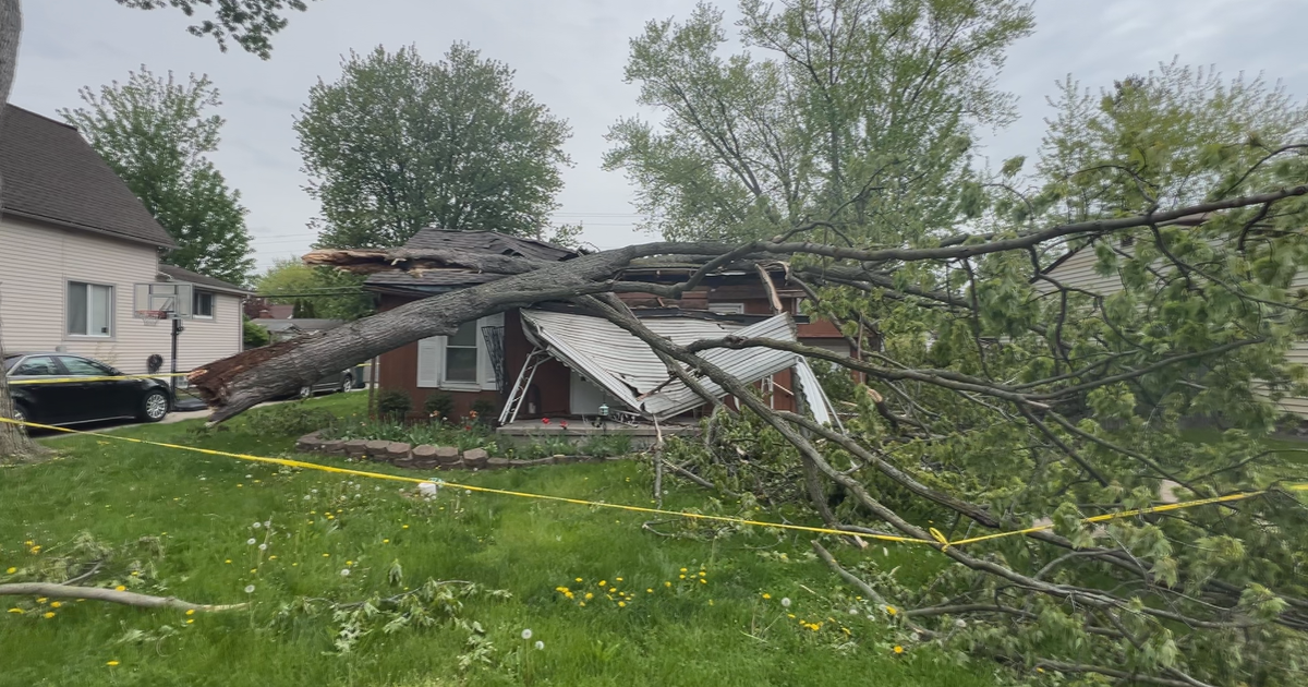
The combination of wind and rain resulted in some impressive images of local damage:
Many travelers were stranded as local airports were forced to cancel dozens of flights.
Some of the best images of the wreckage came from social media, where the hashtags #sfstorm, #bayareastorm and #hellastorm were all trending.
As of 4 p.m., the Peninsula and South Bay were experiencing the heaviest rain cells, but the bulk of the front had moved out of the Bay Area. Get the latest conditions in the Weather Center.
Read all the latest news on the storm:
