NASA using satellites to identify areas vulnerable to disastrous wildfires
NASA is using its satellite data and machine learning technology to keep California safe from wildfires by helping officials and emergency responders identify the areas that are most vulnerable to disastrous fires.
NASA Senior Research Scientist Christopher Potter is passionate about Earth, studying NASA's satellite data to understand and protect the planet.
"I've been working here for 30 years, and we've been working up to this age of what we call the 'Golden Age of remote sensing of satellite imagery," said Potter. "We have more data than we can possibly utilize on a regular basis, but we try to keep up with it."
NASA scientists are seeing increases in the intensity, severity, and duration of wildfires. Using satellite data, they can now pinpoint the areas at greatest risk for devastating wildfires. Visible images show how green the ground is. Infrared images show the fuel moisture content, indicating how dry the vegetation is. Thermal images show the temperature of the Earth's surface.
"Using imagery before the fire, we can predict where the fire will burn the hottest, where the most difficult areas to defend will be, and where the areas and structures in harm's way are the most vulnerable and at risk," said Potter.
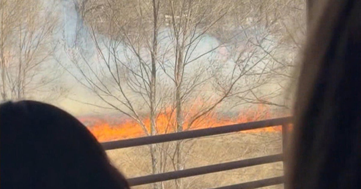
"So what we're looking at here is a map of the actual SCU lightning fire complex," said Potter.
NASA's technology accurately predicted the burn severity of the monstrous SCU Lightning Complex Fires in August of 2020, using satellite images taken in the spring and then in July, just before the fires broke out. NASA's machine learning did millions of model runs, and in a few hours, selected the most accurate model that was true to what actually happened.
It's this vital information that can help firefighters in the future detect places at greatest risk and ultimately, prevent wildfires from even happening in the first place through controlled burns and forest management.
"You're lucky if it comes along yourself and you can find yourself with the opportunity to make an impact like that," said Potter.
Potter is incredibly grateful and proud his work at NASA will bring real change, helping to save the beautiful planet we call home.
NASA scientists study a composite of satellite images every week for their research.
Before the wildfire season began, they said satellite images showed a lot of vegetation from our winter and spring rainfall. As temperatures heat up this summer and fall, that vegetation will continue to dry up. Scientists said strong winds especially dry, offshore winds will be a big danger.