Flash Flood Watches Issued As Storm Aims at Fire-Scarred Northern California
SAN FRANCISCO (AP/CBS SF) — Northern California residents relieved that the past week's rain helped contain stubborn wildfires and soaked dry gardens were preparing for a massive storm arriving Sunday that could bring flash flooding to vast areas scorched by fire.
A flash flood watch was issued for Sunday for parts of the region, especially in burn-scar areas of last year's wildfires. Small stream flooding is likely as the heavy rain band passes through Sunday afternoon and night.
Strong winds are also expected Sunday, with gusts of up to 60 mph (97 kph) at the windiest spots.
A High Surf Advisory will be in effect for coastal parts of the Bay Area from 11 p.m. Sunday to 11 a.m. on Tuesday.
There will be an increased risk of sneaker waves, large breaking waves, rip currents and coastal run up.
"The national weather service has issued a flash flood flood watch for the 2020 burn scars," explains Paul Lowenthal with the Santa Rosa Fire Department. "Which includes the Glass Fire, as well as the LNU complex in Sonoma County."
While there has been some beneficial rain on this land, the concern is that if the atmospheric river stalls in the wrong place, rainfall totals could add up too quickly for damaged ground.
Urban flooding due to the excessive rain rates and likely clogging of storm drains is anticipated.
The San Francisco Fire Department advised residents in flood-prone areas to keep materials like sandbags, plywood, plastic sheeting, garbage bags and other helpful items close at hand. Piling sandbags across doorways or other expected water entry points was also advised.
The San Francisco Department of Public Works was providing sandbags at the department's operations yard.
Residents are advised to secure loose outdoor objects and structures and be aware tree limbs could be blown down, resulting in some power outages.
Driving may be difficult for vehicles with high profile.
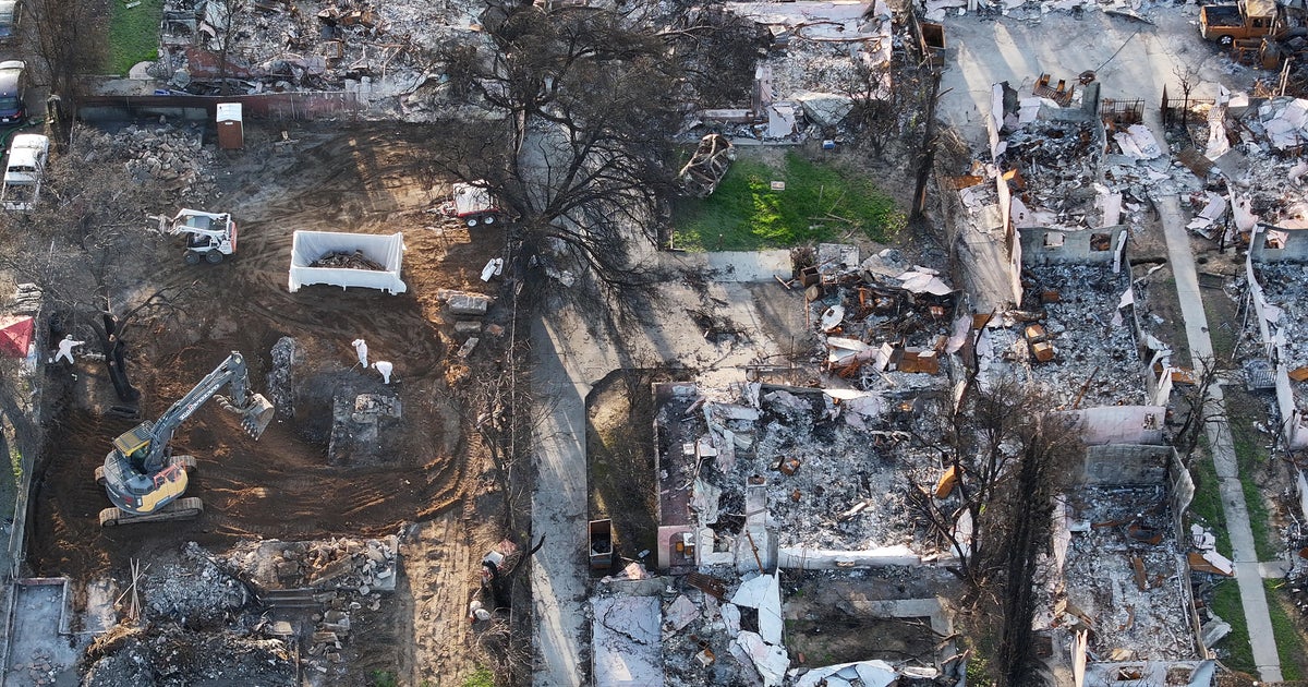
Recent burn areas will be extraordinarily vulnerable to debris flows, mudslides, and rock slides. The area of the Flash Flood Watch covers the 13 various burn scars from 2018 to 2021. It starts early Sunday and continues into early Monday.
This burn scars include the 2018 Camp, Carr, Delta, Hirz Fires; the 2020 August Complex, North Complex, LNU Complex, Zogg Fires as well as the 2021 Caldor, Dixie, McFarland, River, and Salt Fires.
Weather officials said the highest risk is focused between the Dixie and Caldor burn areas where the heaviest rainfall is forecast. Nearly all of these burn areas have yet to be tested with such a magnitude of a storm, and the forecast rainfall is deeply concerning.
The weather system was initially forecast to arrive in the North Bay possibly as early as Saturday night, but a slight delay in the southward drift could slow the arrival for other parts of the Bay Area, with the heaviest rain projected to hit the greater Bay Area later Sunday afternoon and evening.
"If it does land over one of the burn scars, it is likely that we could see, whether it's mud or some sort of debris flow," Lowenthal told KPIX 5. "Small scale or large scale, obviously we don't know at this point in time."
Santa Cruz County officials tweeted that they had opened a virtual Temporary Evacuation Point. Residents can call 831-454-2181 with questions regarding debris flow, possible evacuations evacuations and resources for the CZU Fire burn scar.
"Luckily, here in Marin, we don't have any major burn scars in our urban areas," said Jeremy Pierce, a Battalion Chief with Marin County Fire.
The concern in Marin is the combination of wind and rain on trees that may not be ready for it.
"The main impact we're going to have right now are trees, we still have a lot of foliage on them," Pierce said. "They're going to soak up some of that water, be a lot heavier. And if we get a lot of wind with that we will have a lot of trees down across roads and power lines and that kind of stuff."
The weather service said elevations above 9,000 feet (2,745 meters) in the Sierra Nevada could get 18 inches of snow or more from Sunday until Monday morning and warned of possible power outages and road closures.
