Excessive heat bakes San Francisco Bay Area, breaking some temperature records
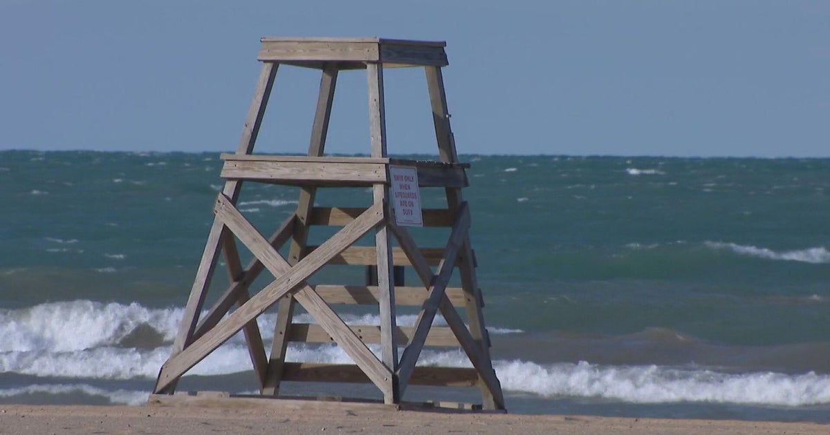
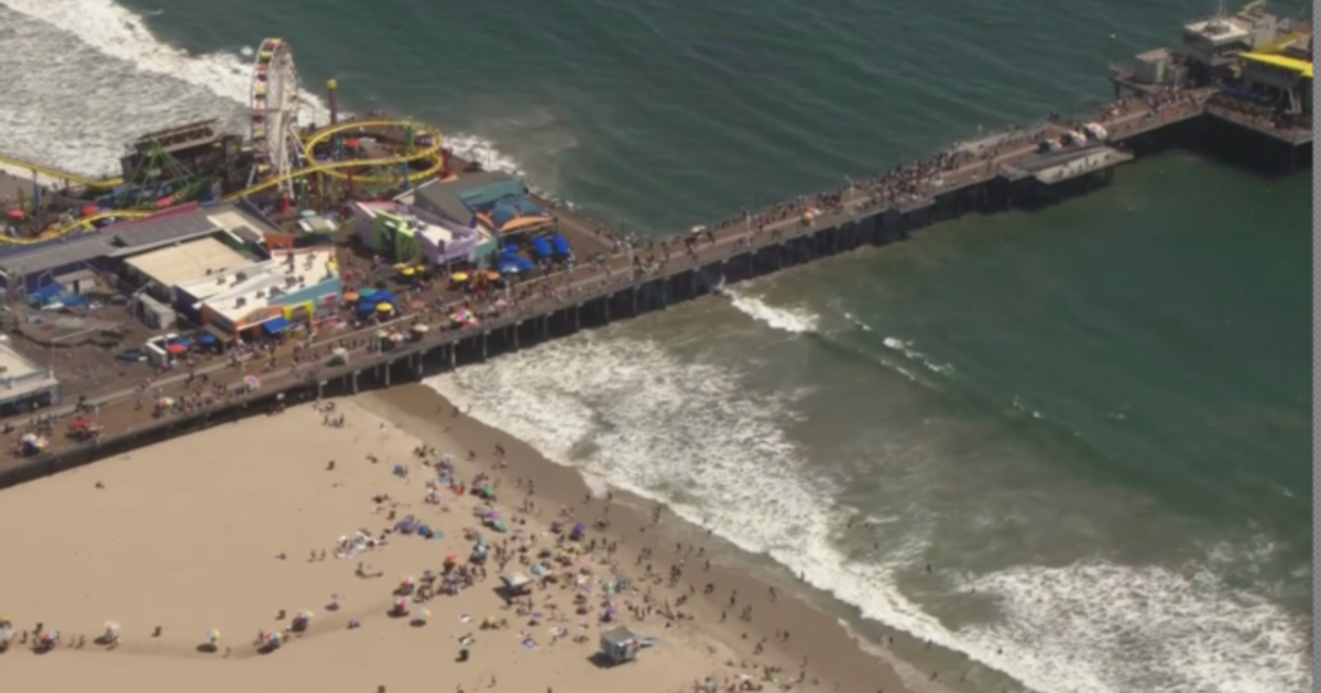
Record-breaking hot weather baked the San Francisco Bay Area Tuesday, including coastal areas where people usually seek relief from the heat.
The National Weather Service issued an Excessive Heat Warning for dangerous, life-threatening heat for most of the Bay Area, including the Marin and Sonoma Coastal Ranges, North Bay interior mountains, East Bay Hills and interior valleys, the San Francisco Bay shoreline, and Santa Clara Valley. The warning is in effect through 11 p.m. Wednesday.
Counties across the region were listing cooling centers on government websites as well as hot-weather safety tips.
In San Francisco, where the thermometer topped out at 95 degrees, the Excessive Heat Warning was from 10 a.m. to 8 p.m. Tuesday. Tuesday's temperature was still a couple of degrees short of the record high for the date. San Francisco hit 97 degrees on October 1 in 1980. The hottest day ever recorded in the city was 106 degrees on September 1, 2017.
San Jose broke a record for the date with a high of 100 degrees on Tuesday (the previous record was 97 in 1980) and is projected to hit 101 degrees on Wednesday, which would tie the hottest ever October temperature measured in San Jose on October 5, 1987.
Oakland hit a high of 97 degrees, well short of its Oct. 1 record of 103, while Redwood City was two degrees short of its record of 103 degrees. Santa Rosa tied the record for Oct. 1 at 102 degrees, while Livermore set a new record of 103 degrees for the date.
KPIX First Alert Weather: Current conditions, alerts, maps for your area
While there is a potential for record temperatures in some areas, PG&E on Tuesday morning announced they were canceling any possible Public Safety Power Shutoffs for the greater Bay Area because winds had calmed.
Other areas not under the Heat Warning are under a Heat Advisory through 11 p.m. Wednesday, including the North Bay coast, the Peninsula coast, the Monterey Bay and Salinas Valley, and large portions of the Central Valley.
Tuesday's daytime highs will be mostly in the 70s to low 90s on the coast, in the 80s to 100s around the bay, and the 100s inland. Overnight lows will be mostly in the mid to upper 60s.
The Weather Service said in its daily forecast discussion that high pressure over the region and a steady offshore flow Tuesday into early Wednesday will nullify any cooling effects from the marine layer, resulting in coastal areas seeing some of their highest temperatures of the year.
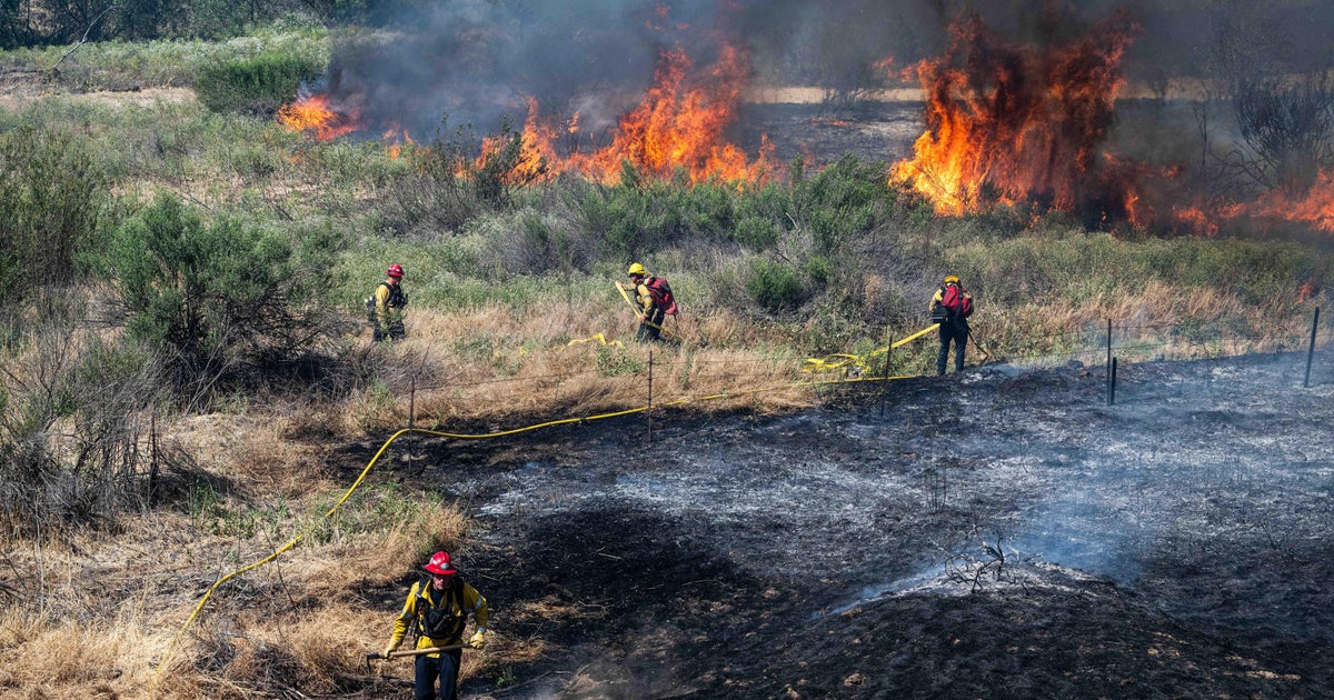
There will be some slight relief along the coast beginning Wednesday, but hot and dry conditions will continue over the next several days across the region along with elevated fire weather concerns, the service said.
For the rest of the week, triple-digit temperatures will be seen in many inland locations along with increasing fire weather concerns as fuels continue to dry and winds will gradually increase. The Weather Service issued a Fire Weather Watch for portions of Monterey County Wednesday and Thursday for critical fire conditions possible as winds increase through that area.