Magnitude 6 Earthquake Strikes Eastern Sierra Nevada; Shaking Felt In Bay Area
MONO COUNTY (CBS SF) – A magnitude 6.0 earthquake that struck the Eastern Sierra Thursday afternoon was felt across Northern California, including much of the Bay Area.
READ MORE: Aftershocks Expected for Days After Magnitude 6 Quake Shakes Eastern Sierra
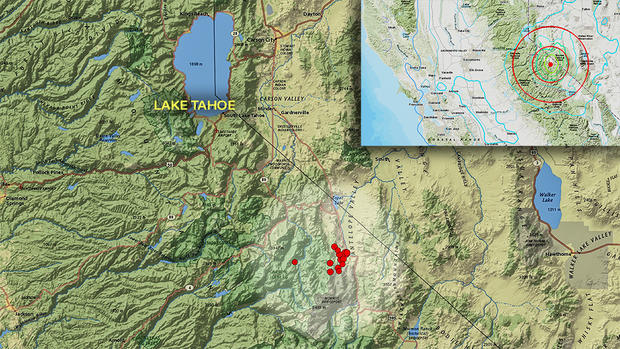
According to the U.S. Geological Survey, the earthquake struck rural Mono County near the California-Nevada state line around 3:49 p.m. The earthquake struck in an area known as the Antelope Valley fault zone, where there are several faults.
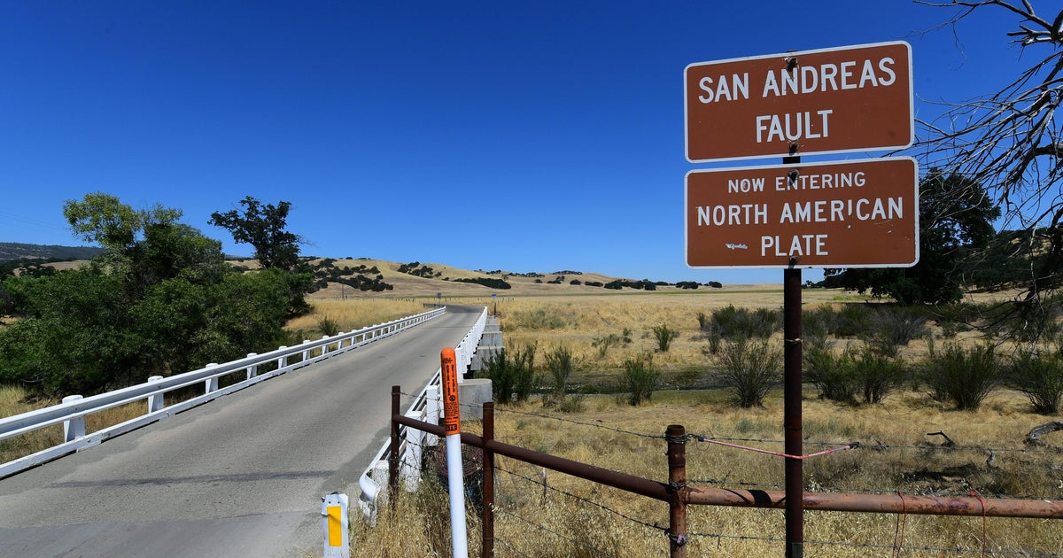
"(The quake) occurred as the result of normal faulting in the shallow crust of the North America plate," the USGS said in release.
Its epicenter was 4 miles (6.5 km) west-southwest of Walker, a California town of fewer than 900 residents. It was followed by a dozen aftershocks, with at least one with a 4.6 magnitude, the USGS said.
"The ground was shaking pretty bad, and then everything started falling," said Carolina Estrada, manager at the Walker Coffee Company. Syrup bottles broke, dishes fell to the ground and the roof of the shop caved in a bit.
The shaking lasted 30 seconds or more, she said.
"We ran out of the building," Estrada said. But the shaking continued, and "boulders the size of cars" fell onto nearby U.S. 395, she said.
Originally, the USGS reported that the quake was a magnitude 5.9. but upgraded it to a 6.0 at 5:30 p.m.
Dozens of aftershocks ranging from 4.6 magnitude and lower including a 3.0 that rattled the Hetch Hetchy Reservoir -- the source of drinking water for many Bay Area communities.
"People in the area should expect aftershocks for days following an earthquake of this size," said Jason Ballman with the Southern California Earthquake Center at the University of Southern California. "We've already seen a pretty vigorous aftershock sequence."
The earthquake also triggered rockslides on Highways 395 and 89 in northern Mono County, prompting a brief closure of Highway 395 north of Highway 182 in Bridgeport to the Nevada state line.
Cars were struck by rocks, but nobody was injured, the California Highway Patrol reported. As of about 5:20 p.m., the roadway has reopened.
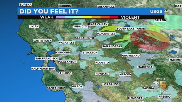
Visitors to the USGS website from a wide swath of Northern California, including much of the Central Valley and the Bay Area, reported shaking, with the strongest shaking in the Sierra.
Twitter users from across the Bay Area reported shaking, including in the East Bay and as and as far west as San Francisco.
Significant shaking was also felt up towards Lake Tahoe and the Reno area.
Reno City Hall was evacuated, Mayor Hillary Schieve told the Reno Gazette Journal.
"It shook pretty good," Schieve said.
Regionally, "this would be the largest one in almost two and a half decades," said Graham Kent, director of the University of Nevada, Reno's seismological lab.
According to the USGS, in the past 100 years, 33 earthquakes of magnitude 5 or larger have occurred within 100 km of Thursday's quake. The largest of these was a 6.1 magnitude quake 36 km to the northwest in September 1994 and a 6.1 magnitude quake 63 km to the north in June 1933.
© Copyright 2021 CBS Broadcasting Inc. All Rights Reserved. The Associated Press contributed to this report.
