California Wildfire Map Shows Which Communities Are Impacted
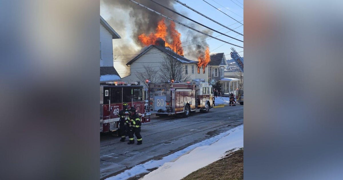
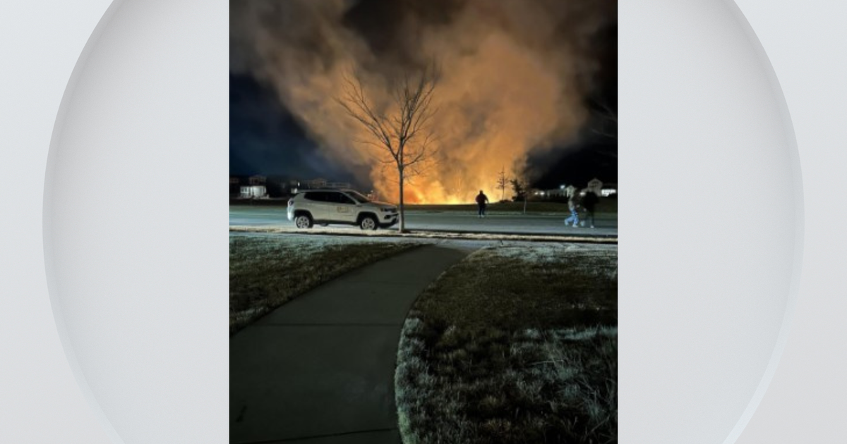
SAN FRANCISCO (CBS SF) -- With over 200,000 acres already burned in Northern California, it can be difficult to keep track of where the different wildfires are burning.
Cal Fire is keeping the below map updated with the most current fire information.
Cal Fire is battling over a dozen fires in the North Bay that have led to deaths, injuries, missing persons, as well as thousands of destroyed and damaged homes.
A Google Crisis Map shows where open shelters are located in the North Bay, as well as air quality advisories and additional wildfire information.
READ MORE: Complete Wildfire Coverage
