Back-to-back atmospheric river storms bringing more rain, wind, flood concerns to Bay Area this weekend
The Bay Area will see one more day of dry weather Friday before back-to-back atmospheric river storms will bring moderate to heavy rain and wind over the weekend and with it the threat of flooding.
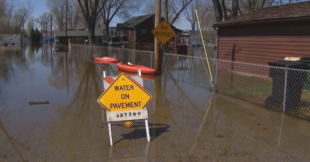
The National Weather Service issued a Flood Watch beginning 10 a.m. Sunday morning through 10 a.m. Wednesday for the entire Bay Area and portions of the Central Coast. Sunday will see the second of the two storms and expected runoff from moderate to heavy rain.
The rain and wind will start in the North Bay beginning early Saturday morning and push south through the afternoon. Winds were expected to be moderate in the 15 to 20 mph range and stronger near the coast and higher elevations, between 20 and 30 mph.
KPIX First Alert Weather: Current conditions, alerts, maps for your area
While Saturday's rainfall totals are only expected to be around 1 to 2 inches in the North Bay and 0.5 to 1 inch elsewhere, the weather service said the first system will act as a primer, increasing soil moisture and causing streams and rivers to rise before the second, stronger system bringing heavier rain on Sunday.
Sunday's storm will be driven by a strong low pressure as well as the combined forces of a polar front and subtropical jet streams, making it difficult to predict accurately, the weather service said. However, Sunday's storm is expected to be the most impactful of the two systems, and rainfall totals from Sunday through Wednesday are expected to be 1.5 to 3 inches in the lowlands and 3 to 6 inches in the mountains.
In addition, a High Surf Advisory will be in effect from 10 a.m. Saturday through 4 p.m. Sunday for San Francisco, Coastal North Bay including Point Reyes, National Seashore, San Francisco Peninsula Coast, Northern Monterey Bay and Southern Monterey Bay and Big Sur Coast Counties.
The weather service said Sunday evening will also bring the strongest winds, with sustained southerly winds of 25 to 35 mph along the coast and at higher elevations, and 15 to 25 mph in the inland valleys.
Showers are expected to continue through the middle of next week.
In the Sierra, the first storm has prompted a Winter Weather Advisory for several inches of snow. The second storm will be more significant, bringing several feet of snow. A Winter Storm Watch is already in effect from Sunday night through Wednesday.