San Francisco Bay Area flood watch issued as atmospheric river ushers return of wet weather
A Flood Watch has been issued for the entire Bay Area, as an atmospheric river storm on Friday ushers the return of wet weather to the region following a mostly dry January.
According to the National Weather Service, the flood watch covers all nine counties and is in effect from noon on Friday through 10 p.m. on Sunday.
CBS News Bay Area First Alert Weather: Current conditions, alerts, maps for your area
"Excessive rainfall"
"Excessive rainfall is forecast through the region. Around 1-3 inches of rain is expected across the warned region by Sunday afternoon, with locally higher totals up to 5 inches in the higher elevations," the weather service said in a statement.
Residents are urged to monitor forecasts and to be on alert for possible flood warnings. People living in areas prone to flooding should be prepared to take action should flooding take place.
Preparation tips include cleaning leaves and debris from storm drains and to find umbrella and rain gear. Drivers should check tires and wiper blades, use headlights while driving, prepare for longer drive times. Motorists should never drive through roadways that are flooded.
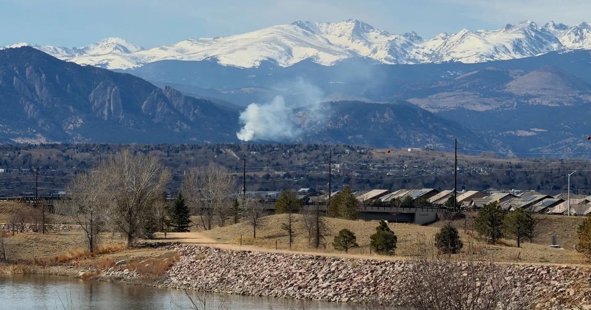
The UC Berkeley Central Sierra Snow Lab posted on X that the total expected mix of snow and rain precipitation quantities could be as high as 12-15" with up to seven feet of snow falling by Tuesday due to the stronger second system dropping more snow after the weekend rainfall.
First atmospheric river
The first round of rainfall arrived in the North Bay early Friday morning. Forecasters said the rain should spread south over the course of the day, with an initial 0.5" – 1.5" expected in the North Bay on Friday, while the Bay Area may see up to half an inch.
Rain is expected to continue on Saturday, with the heaviest showers expected Saturday morning and into the afternoon. On Sunday, rainfall should be lighter and more concentrated in the North Bay.
The storm system will also bring significant snow to the Sierra, with chain controls going into effect on I-80 at Donner Summit shortly before 11 a.m. Friday, according to CHP.
Another round of significant rain is expected on Monday.
Dry January
Friday's weather system is the first to reach the Bay Area in weeks. According to the weather service, the last significant rainfall in the region was on Jan. 3, when Santa Rosa saw 0.49 inches, Oakland saw 0.2 inches and San Francisco saw 0.18 inches.
While one would expect that the exceptionally dry January in Northern California would have a significant impact on the region's water supply, officials say most reservoirs remain at above average levels.
"Shasta and Oroville are well above their historical averages," Jeffrey Mount with the PPIC Water Policy Center said of the state's largest reservoirs. "So we're about average, and our reservoirs are in really good shape right now. That's the one thing. Even in the dry parts of the state."
Emergency preparations
Ahead of the storm, California Gov. Gavin Newsom and the state's Office of Emergency Services announcing that resources and personnel would be deployed throughout Northern California ahead of the potentially impactful winter storms.
In addition to making sandbags available for residents in areas were flooding is possible, the state is pre-positioning personnel and equipment to deal with both the anticipated heavy rainfall and snow with snowplows, backhoes and storm drain clearing equipment.
The North Bay is at most risk of higher rainfall amounts, with up to 8 inches possible over the next week in parts of northern Sonoma County.
Additional information on what residents can do to prepare for severe storms is available at the Ready.CA.Gov website.