Atmospheric river-fueled storm front gradually moving down California into North Bay
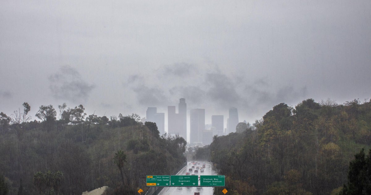
The edge of an atmospheric river-fueled storm front was skirting the northwest corner of California Monday morning and bringing rain south to the North Bay later in the day, forecasters said.
As of early Monday, the National Weather Service said rain was moving into the state as it has in Washington and Oregon and the associated cold front would be moving southeast across California throughout the day Tuesday.
The weather service said the cold front would weaken as it moves south, bringing only a few hundredths of an inch of rain in the Bay Area through Tuesday morning. The North Bay could see rainfall as early as later Monday morning, although more likely in the afternoon and evening. Most of the Bay Area rain is expected to fall north of the Golden Gate.
KPIX Weather Center: Current conditions, alerts, maps for your area
Aside from the rain, southerly winds will strengthen ahead of the incoming cold front, the weather service said. There will be lingering drizzle into Tuesday morning when dry conditions will resume, the weather service said.
In addition, a large northwest swell coming from the powerful low-pressure system over the northeast Pacific is prompting a High Surf Advisory for the Pacific coastline for most of the day Tuesday. Large breaking waves of 12 to 16 feet are expected with breaking wave heights of 15 to 20 feet.
The High Surf Advisory will be in effect from 5 a.m. to 11 p.m. Tuesday for San Francisco, Coastal North Bay Including Point Reyes National Seashore, San Francisco Peninsula Coast, Northern Monterey Bay and Southern Monterey Bay, and Big Sur Coast Counties.
Beach-goers were urged to use caution and stay aware of their surroundings if planning to go to the beach, especially for northwest-facing beaches.
