Atmospheric River: Hidden Danger Underneath Bay Area Burn Scars Heightens Landslide Risks
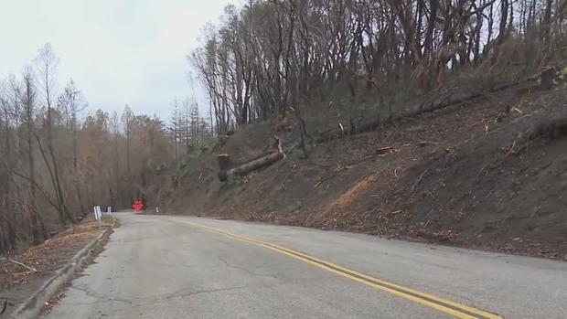
FELTON, Santa Cruz County (KPIX 5) – The approaching atmospheric river has raised alarms about the burn scars from the massive Bay Area wildfires of 2020. Chief among them is the Santa Cruz Mountains where landslide risk comes with the territory.
"When vegetation burns, some of the organics will volatilize, and they condense down below the surface into the soil," explained Santa Cruz County Geologist Jeff Nolan.
Nolan is talking about the kind of fire aftermath that's a bit harder to find. It's what might be considered the bottom of the burn scar, just a couple inches below the surface.
"It gets a little gooey as you go down here," Nolan says, digging into the ground.
It's that gooey fire residue, forming a waxy layer beneath the scorched soil that seals the burn scar off from the rest of the ground. Rainfall often can't make it through.
"And then the water can't go anywhere," Nolan told KPIX 5. "Once it gets down a few inches, it stops and perches. You can imagine, on very steep slopes, if you rapidly saturate that couple inches of soil at the surface, it'll wash off very rapidly."
Residents in the burn areas of Santa Cruz County were scrambling to take what precautions they could.
"We took down a lot of the dead trees so we could allow for some erosion control on the slopes," said Robert Hinde. "Which was effective. It broke the soil up, which allows for absorption instead of runoff."
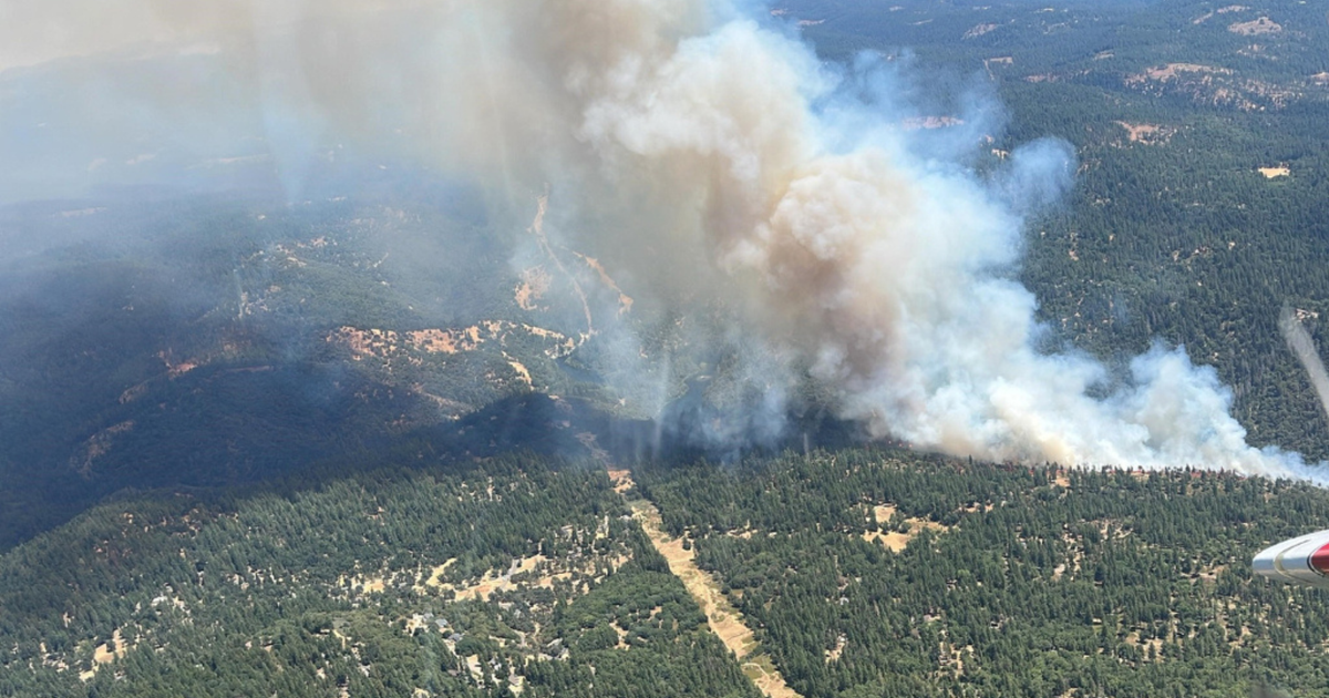
So the approaching storm will be a test for this landscape. Just by its very nature, these hills are prone to landslides. The massive CZU Lightning Complex fire that struck last August has only heightened that danger.
"Well, it's a tectonically active area so things are being uplifted relatively rapidly," Nolan said. "We have a couple active faults, the rocks are fractured, kind of ground up. That's a recipe for a lot of landslides."
