Early Storm Brings Rain And Snow To NorCal
SACRAMENTO, Calif. (AP) -- An early fall storm snarled California roadways early Wednesday and brought gusty winds and snow in the mountains.
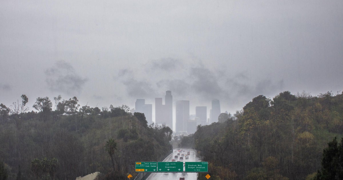
Showers hit Southern California, causing scattered fender-benders on roads during the morning commute.
Stranded big-rigs and spun-out vehicles closed westbound Interstate 80 near Truckee, though the eastbound interstate and other Northern California roadways through the Sierra remained open with tire chains required, said the California Highway Patrol.
"It's a winter-like storm. It's a storm similar to early December, but we just got it in early October," Powell said. "By the (Columbus Day) holiday weekend we should be back to the low 80s in the valley. It will be pretty decent in the mountains, too. It will be a little cooler with the snow on the ground."
The Central Valley had a half-inch to an inch of rain, while Redding had 1.77 inches overnight, said Johnnie Powell, a National Weather Service forecaster in Sacramento. The Sierra foothills had about 1.5 inches of rain and the mountains two- to three inches.
It offered a rude awakening of winter-like weather way too early for some.
Late snow fell in June, people skied on the Fourth of July, and now October's barely beginning and the Sierra is about to get several inches of powder that left us with only about three months of sun.
"I guess not as much swimming," Jake Knorr said. "The water this year was cold everywhere."
"It held off my golfing plans for sure," Sugar Bowl lift operator Ben Luther said.
Ski resort maintenance crews are cranking up the work to be ready to open.
Sierra summits had six inches of snow and another six inches to a foot was expected by Thursday. A storm warning remains in effect until 11 p.m. Wednesday for elevations above 6,000 feet. In the Central Valley and foothills, showers and a chance of thunderstorms were expected as the weather front passed through Wednesday.
No other problems were reported but the Los Angeles Fire Department had sandbags available for anyone concerned about flooding.
The heaviest rainfall was expected north of San Francisco and in the coastal mountains from Point Reyes to Santa Rose.
"It's unusual for fall. This is more typical of a winter storm," said Steve Anderson, a meteorologist for the weather service in Monterey. "On average, heavy rain doesn't typically start until the end of October in Northern California. So we're a few weeks early."
Anderson said a high pressure system hanging over the Midwest has been making the storm travel further south when storms would usually be rolling farther north this time of the year.
The San Francisco Bay area and Central Valley saw winds gusting up to 30 mph, while gusts exceeding 50 mph had been projected to hit the Sierra crest.
The high winds had utilities prepared for the storm as they watched for snapped tree limbs collapsing into power lines, though few problems were reported.
"The leaves can act as a sail and bring some of those trees down," said Joe Molica, a spokesman for Pacific Gas & Electric Co., which services 9.4 million electricity and natural gas customers in the northern and central parts of the state.
Highway signs warned motorists of the possibility of slick roads.
"First and foremost, we want people to slow down," California Highway Patrol spokesman Adrian Quintero said.