Weekend rain helps firefighters contain spread of the Mosquito Fire
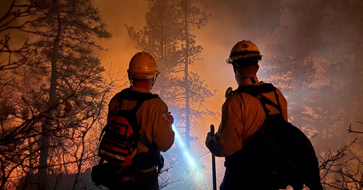
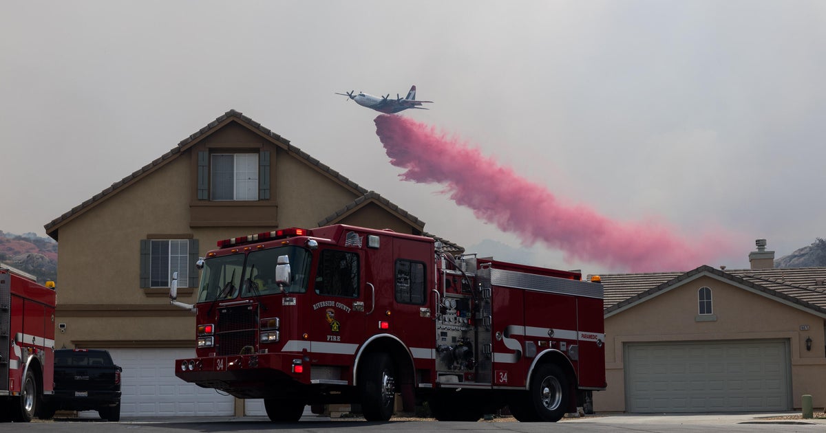
A wet weekend in Northern California has helped firefighters better contain the Mosquito Fire, the state's largest fire of the year.
The Mosquito Fire, which has burned nearly 75,000 acres, is now 34% contained, a significant jump from the 20% containment on Friday, according to a Sunday morning update on InciWeb.
The update said that fire behavior overnight was "minimal" because all areas of the fire received precipitation.
"Rain is expected to be light and sporadic Sunday morning, but by the afternoon and evening, rain showers will be heavy and widespread. By Monday morning, most of the fire could have received more than an inch of rain," the update said.
"Rain changes the firefighting strategy to some degree but does not change the priority of improving conditions in evacuated areas such that residents can be allowed to return."
The storm system represents an early and substantial rain event that experts believe could help slow the ongoing fire season -- at least temporarily. While rain and cooler temperatures this weekend may help with immediate fire containment in the short-term, the long-term drought persists across the state.
"Fuels are still critically dry, near record levels, and a period of warmer, drier weather will likely follow the rain," the National Weather Service sin Sacramento tweeted. "But the good news is that any rain will help ongoing or new fires!"
Nearly the entire state of California remains under drought conditions and dry conditions are likely to continue to fuel the development of new fires later this month and into October.
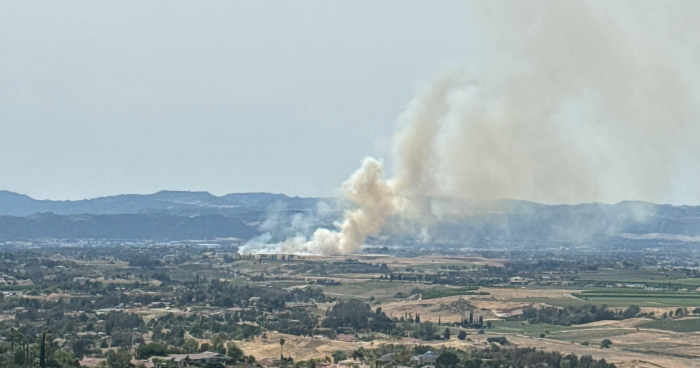
The Mosquito Fire has become the largest fire in California this year since igniting more than a week ago in the forest between Sacramento and Lake Tahoe in the Sierra Nevada Mountains.
The last time Sacramento saw measurable rain was more than three months ago on June 5. They have only seen 2.17 inches of rain this year, which is about 10 inches below normal to date.
Temperatures may actually be cold enough in the Sierras at elevations above 8,000 feet, for some light snowfall to accumulate Sunday into Monday night.
The NWS office in San Francisco said the weekend temperatures are "definitely a welcoming site given the record-breaking heat much of the area experienced just last week."
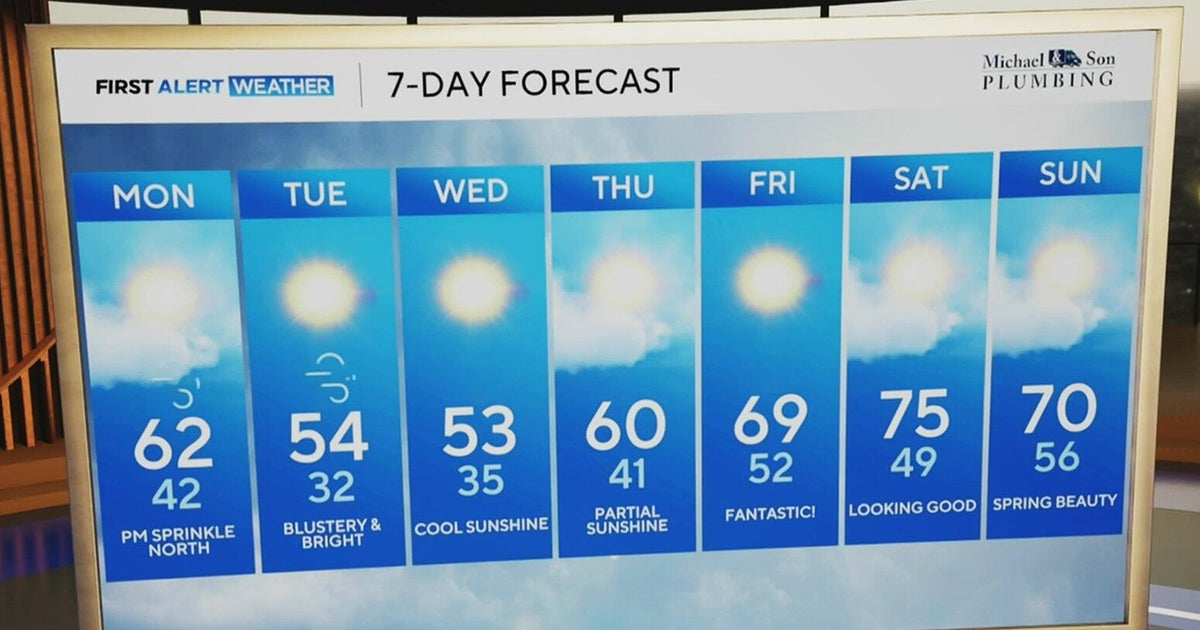
The unseasonable weather pattern is a welcome relief, but it is not expected to last long.
"Warmer and drier weather is then forecast for the area during the latter portion of next week as most [weather models] show high pressure over the Northeast Pacific trying to develop," the NWS office in Eureka said.
The Climate Prediction Center 8- to 14-day outlook also shows indications of warmer and drier weather returning the last week of September into October.
