Smoke from Shoe Fire in Shasta County spreading through Sacramento Valley
A wildfire burning in Shasta County has torched nearly 3,000 acres and prompted evacuations since it began last week and the smoke was blanketing parts of the Sacramento Valley Sunday.
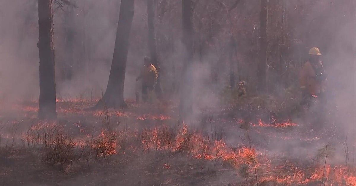
The Shoe Fire northwest of Shasta Lake, named after nearby Shoeinhorse Mountain, began 12 miles southwest of Big Bend in the Shasta Trinity National Forest on Oct. 9. The U.S. Forest Service says the fire was burning in rugged terrain with limited access. As of Sunday afternoon, the fire had burned 2,998 acres and had zero percent containment.
Mandatory evacuations are in place for Zone LKH-1448-B in the vicinity of Fenders Ferry Road at Wheeler Nursery Road. An evacuation map can be found here.
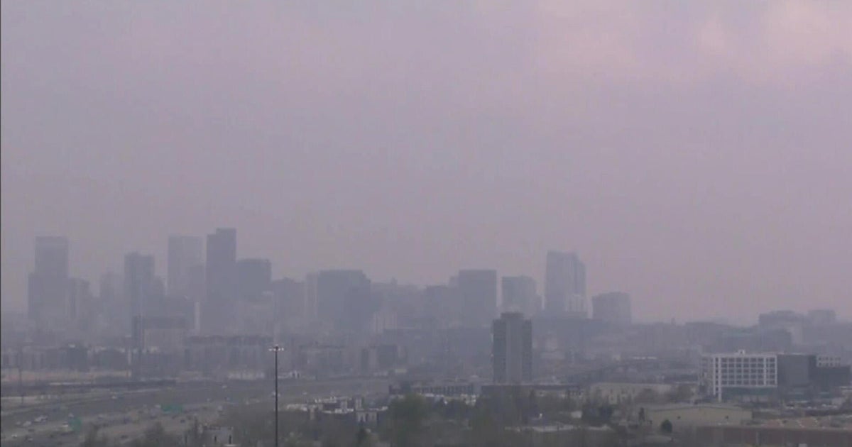
The National Weather Service's Sacramento office said areas of the Sacramento Valley were expected to have smoky, hazy skies because of the smoke from the Shoe Fire moving south.
Air monitoring stations showed unhealthy levels of particulate matter for sensitive groups in several communities north of Sacramento, including Chico, Live Oak, Marysville and Yuba City.
Some areas in Stockton and Lodi have reported unhealthy conditions.
The Shoe Fire was expected to continue to move to the Northeast although the fire was spreading in all directions, the Forest Service said. Increased humidity and cloud cover helped fire crews who were battling in steep topography to save multiple structures, campgrounds, and the Devil's Rock-Hosselkus Natural Research Area.