One storm departs California as another lines up to enter
SACRAMENTO — Dense fog plagued California's Central Valley early Wednesday as one winter storm left the state and another lined up to enter.
The new storm was expected to move through Northern California late Wednesday and overnight, followed by multiple rounds of precipitation through the rest of the week and into next week, the National Weather Service said.
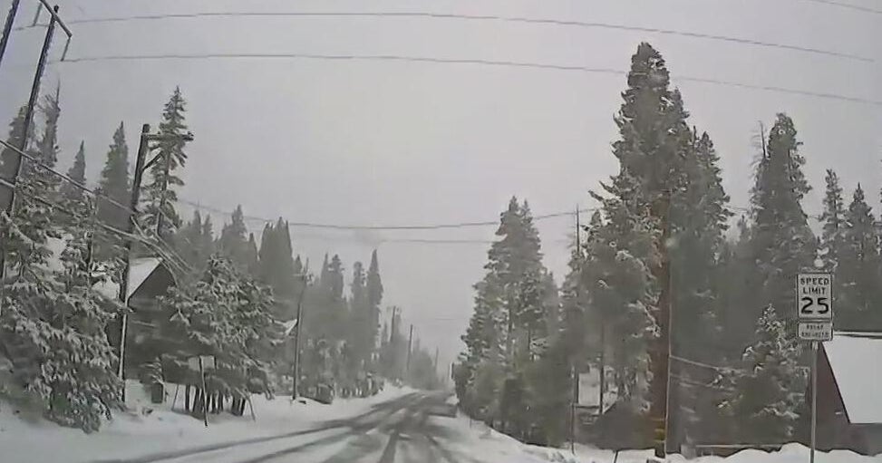
The week's first storm arrived late Monday with howling winds, driving snow and drenching rains as it spread south.
By early Wednesday the trailing edge of that storm had largely slipped out of Southern California, where the next big storm was predicted to hit on Saturday and extend into Sunday.
"New Year's Eve celebrations planned for outdoors should include contingency plans," the Los Angeles-area weather office wrote.
The long-term forecast for Southern California indicates that Pasadena's 138th Rose Parade will narrowly dodge stormy weather thanks to its tradition of holding the event on Jan. 2 when New Year's Day falls on a Sunday. Rain will return by midweek, forecasters said.
State Department of Water Resources data show that drought-stricken California's mountain snowpack, a third of the state's water supply, is off to a good start. But experts remain cautious. Last winter had a similar start and then turned extraordinarily dry from January through March.
