Mudslides Across State Still A Threat As Storms Continue
LOS ANGELES (AP) -- Blizzard conditions hampered the search for a missing snowboarder in the Sierra Nevada, and roadway flooding and rock slides made driving difficult elsewhere Wednesday, as another winter storm swept through California. One person was reported killed by a falling tree.
The new storm came just days after a week of wet weather saturated parts of the state, but there were no immediate problems in communities susceptible to debris flows and mudslides.
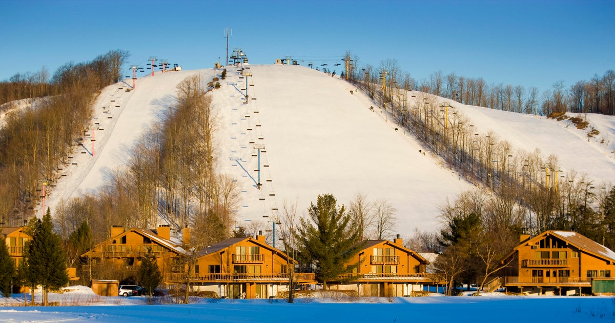
At Lake Tahoe, Placer County search teams combed the Alpine Meadows Ski Resort for Shawnte Marie Willis, who apparently became separated from friends while snowboarding Tuesday afternoon.
Willis, 25, was last seen snowboarding through ski boundary signs near the top of an advanced slope, resort spokeswoman Rachel Woods told the Sacramento Bee.
A person camping at a wildlife preserve near Santa Rosa, about 50 miles north of San Francisco, was killed when heavy winds and rain toppled a tree onto a tent Tuesday night, Rincon Valley Fire Department officials told the Press Democrat.
Highway 1 was closed at several points along the coast due to flooding or rock slides, the California Department of Transportation reported on its website.
In the Central Valley, 3 to 6 inches of rain covered a quarter-mile of State Route 184 near Bakersfield, California Highway Patrol Officer Robert Rodriguez said.
"The whole roadway up there is pretty much under water," he said Wednesday.
A road near the community of Havilah was washed out. It is one of three alternate routes to State Route 178, which was closed by a rock slide last week, and the two open routes added as much as an hour to commutes, Rodriguez said.
South of Los Angeles, sheriff's deputies patrolled Orange County's fire-scarred canyons where mudslides struck last week, and police officers kept watch in Laguna Beach, where heavy flooding before Christmas caused $10 million damage.
Authorities were keeping a wary eye on Highland in San Bernardino County, where about 50 homes remained evacuated after last week's deluge caused mud to belch from local mountains, overwhelming a drain channel and inundating some homes with feet-deep ooze.
On Tuesday, about 700 volunteers took advantage of sunny weather to shovel mud from around dozens of homes.
There was concern about debris basins meant to hold boulders, trees and muddy storm water swept down from the mountains.
"There's still 50,000-plus cubic yards of debris plugging them up. So we just don't know how a major rain coming off the mountainside would contain the debris," said Bill Peters, a spokesman for the California Department of Forestry and Fire Protection.
"We've been pumping water out of them since last Thursday, 24-7," he added. "They're down, but still, if we get a catastrophic debris flow like we got last week, it could get interesting."
The latest, fast-moving storm moved into the San Francisco Bay area during the Tuesday evening commute and caused arrival delays of more than two hours at San Francisco International Airport, the Federal Aviation Administration reported.
It reached Southern California at about 3 a.m., and wind, gale and flood warnings were up through the morning from Fresno County southward.
The weather service said 24-hour rainfall totals as of Wednesday morning included 2.12 inches in Oakland, 1.3 inches in San Francisco and more than 4 inches at one location in Santa Cruz County.
Forecasters said the storm would be followed by very cold and blustery weather, with winds gusting to 75 mph in mountains and passes. The worst of the event was expected Wednesday night and early Thursday as strong winds in the upper atmosphere are forced to the surface by very cold air entering the region, meteorologists said.
The same storm system prompted a blizzard warning through Thursday night for mountainous areas of eastern Arizona. The weather service predicted 14 to 25 inches above the 6,000-foot level with winds gusting to 60 mph Wednesday.
(Copyright 2010 by The Associated Press. All Rights Reserved.)
