Hot, Dry Conditions Return For The Wildfire-Weary West, And They Could Last For Weeks
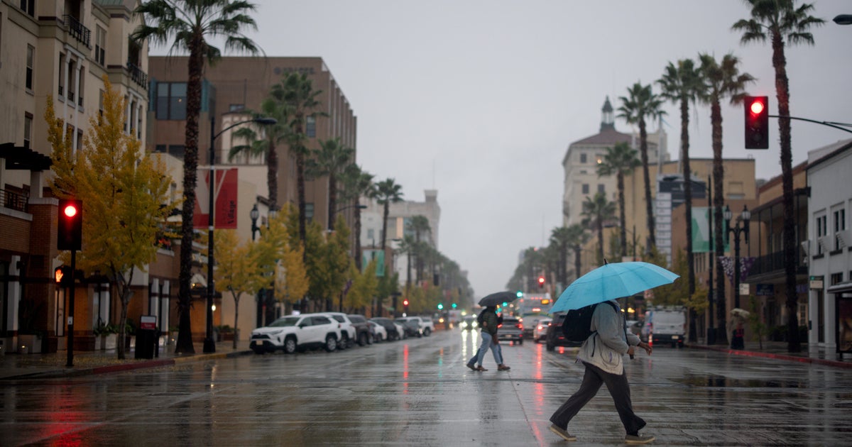
(CNN) -- Oregon, Washington and other areas of the West will get a welcome break from dry weather Thursday and Friday, with some rain in the forecast.
But for the wildfire-weary, another bout of dry weather returns this weekend and could last weeks. Along with already dry fuel on the ground, the forecast will mean more hazardous fire conditions in a season that has already broken records.
"A ridiculously long-lasting upper ridge of high pressure will likely deliver 1-2 weeks of warm to hot and dry weather to the drought- and wildfire-stricken forecast area Sunday through the foreseeable future," the Medford, Oregon, National Weather Service says.
This weather pattern will deliver dry air and scorching temperatures to the region.
"This late-season ridge of high pressure is forecast to bring high temperatures nearly 30 degrees above normal with no chance of rain after Monday for well over a week to 10 days," CNN meteorologist Chad Myers says.
There is an 80% to 90% chance that temperatures across the West will be above average next week from Seattle down to Los Angeles.
"A significant warming trend is forecast for early next week as high pressure aloft strengthens and becomes the dominant weather feature across the area," the National Weather Service in Los Angeles says.
The weather pattern could rival the all-time Downtown Los Angeles high temperature of 113 degrees, set 10 years ago Sunday, though forecasters in Los Angeles doubt downtown will get to record territory.
In Oregon, the weather pattern could push temperatures to 100 degrees early next week, setting many daily records. If the pattern continues into October, it could set all-time monthly record; Medford, Oregon, has never had a 100-degree high temperature in October.
These ingredients plus wind are a recipe for wildfires
The heat and dry fuel on the ground will combine for a dangerous risk of fire. And a stiff wind could take things from bad to worse.
Winds are forecast to pick up across Northern California over the weekend, which has prompted the National Weather Service to issue fire weather watches.
They begin during this next dry spell, Saturday night into Monday. A fire weather watch means critical fire weather conditions are forecast and red flag warnings may be issued.
"Any fires that develop will spread rapidly in the hot, dry and windy weather," said the National Weather Service in San Francisco.
Winds are forecast to be anywhere from 10 to 45 mph, depending on location. Gusts could be stronger.
In the coastal West, a lot can change based on the wind direction. An onshore wind can deliver moist air from off the ocean, offering relief. But an offshore wind would dry out the area, leaving an environment where one spark could grow quickly to engulf an entire forest in days.
These winds will be out of the north and northeast, allowing for very little to no humidity recovery.
Tuesday marked the first day of fall, and "this is the time period California historically experiences some of the largest and most devastating wildfires," the California Department of Forestry and Fire Protection said.
"Even with cooler temperatures," the agency said, "do not let your guard down!"
The-CNN-Wire
™ & © 2020 Cable News Network, Inc., a WarnerMedia Company. All rights reserved.


