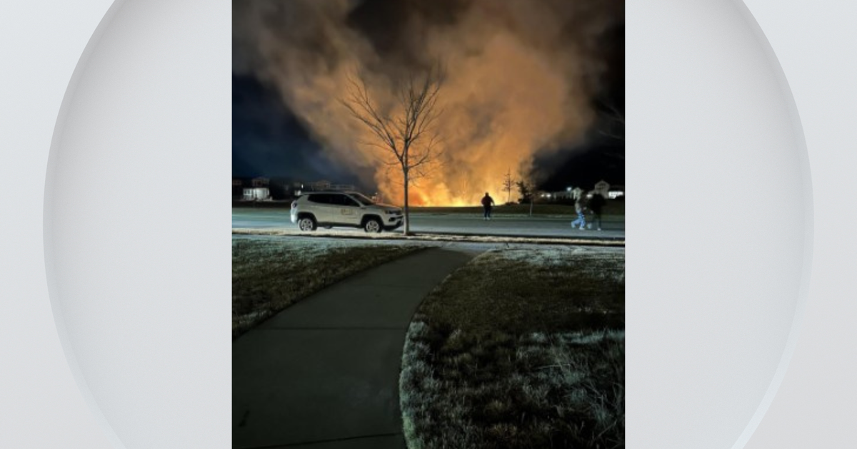
Fire burning in difficult terrain forces evacuations in Brownsville
BROWNSVILLE – County officials have started to downgrade evacuation orders and lift evacuation warnings for a 12-acre vegetation fire burning in Yuba County on Thursday.
Cal Fire said the Double Fire, burning off Double Eagle Way near Brownsville, was burning in difficult terrain. Despite that, Cal Fire said crews were able to hold the fire within retardant lines.
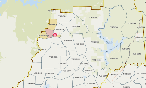
The Yuba County Office of Emergency Services initially issued evacuation orders for zones YUB-E007 and YUB-E081. These areas include Wildcat Trail and Double Eagle Way.
Just before 4 p.m., county officials said zone YUB-E081 was split into three parts: A, B and C. YUB-E081 A and C zones are no longer in an evacuation warning or order. Zone B is in a warning as of 6:45 p.m.
County officials also split YUB-E007 into three zones. B and C are the northern and southern zones and were downgraded to warnings while A, the center portion, remains in an evacuation order. A includes Wildcat Trail.
A temporary evacuation point was set up at Sycamore Ranch, located at 5390 Highway 20. A sheriff's posse arena was on-site for large animals at 5396 Marysville Road, which is across the highway from Sycamore Ranch. Those have since closed.
Cal Fire NEU said it was using air resources to drop retardant. Officials said around 5:45 p.m. that the air attack was called off the fire as it has remained within fire retardant borders.
The YUB-E007 zone borders Butte County, but no evacuation warnings or orders have been issued in the neighboring county, according to Butte County's evacuation map.
Brownsville is about 75 miles northeast of Sacramento.