Cal OES Activates Operation Center As Severe Weather Moves In
SACRAMENTO (CBS13) - The California Governor's Office of Emergency Services (CalOES) has activated the State Operations Center in anticipation of the severe weather moving in.
The last time CalOES had to activate was back in July for the Ridgecrest earthquake. Dozens of state, local and federal agencies are now mobilizing, with Mother Nature dictating the response. The agencies are getting frequent briefings by the National Weather Service so they can position crews in place if a fire should break out.
State officials warn the combination of dry conditions, low humidity and forecasted high winds with gusts of up to 45 mph can be explosive.
"So if those winds do develop and a fire does spark, it can spread rapidly," said Amy Head with Cal Fire.
CalOES says it's important to coordinate with state agencies, including the Department of Education, California Highway Patrol, Cal Fire and the California National Guard.
"So we can put resources in place. Those resources can be fire trucks, people, the national guard. We may even need to put Law enforcement in place where power outages are occurring," said Brian May with CalOES.
With only one fire currently burning in Northern California, Cal Fire says they're in good shape, fully staffed, and bringing in additional resources.
"We have pre-positioned different equipment throughout portions of different counties, including Butte, Shasta, Sonoma, Napa," said Head.
Cal Fire has 15 additional fire engines and 8 more inmate hand crews placed in strategic places, ready to move at a moment's notice.
"Different fire teams, strike teams, based on [the] topography of the area. For instance, mountainous areas with 80-mile winds, they will have crews there fighting specific to that area," said May.
Portions of 34 counties will be impacted by the widespread, severe wind event. And with PG&E proactively turning off power for safety to nearly 800,000 customers in northern and central California, local infrastructure is expected to see an impact.
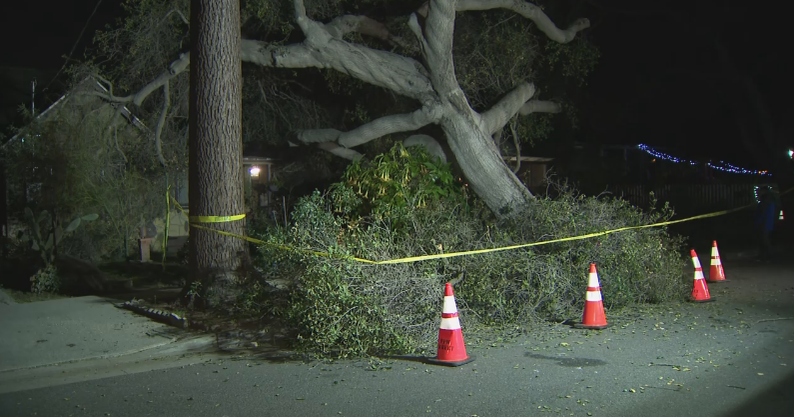
"There certainly could be impacts to infrastructure, to local roads, street lights that don't have backup generators. So we ask people to be very vigilant when they're out on the roads tomorrow," said Linsey Paulo, a spokesperson with PG&E.
PG&E anticipates that this weather event will last through midday Thursday, with peak winds forecasted from Wednesday morning through Thursday morning and reaching 40 to 55 mph, with isolated gusts up to 60 to 70 mph.
PG&E is asking for the public's patience as safety is their top priority.
"This is a very extensive power shut off, we want people to be prepared and have a plan to be without power for several days," said Paulo.
The power will be turned off to communities in stages, depending on local timing of the severe wind conditions, beginning with counties in the northern part of the state.
Customers can find the full list of impacted counties, cities and communities at https://www.pge.com/pspsupdates.


