Getting answers: Weekend storms bring concerns for Sierra, Foothills -- what you need to know

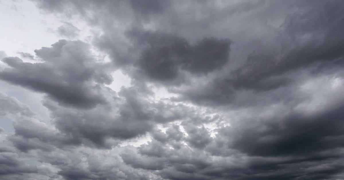
SACRAMENTO -- Two First Alert Action Days have been called by CBS13's meteorologists for Saturday and Sunday in the Sierra and Foothills.
We're getting answers about why the threat of thunderstorms causes issues both with long-lingering snowpack and burn scars.
Starting with the Sierra, quick bursts of rainfall in these storms hitting the long-lingering snowpack doesn't allow the rain to soak in like a sponge. Instead, it's like putting a water hose on a snowcone, the National Weather Service (NWS) says.
It creates fast, running water that can lead to big problems.
Friday morning, a rockslide near Truckee on Donner Pass Road caused significant damage, closing it down at least through the weekend -- with more weekend storms on the way.
"It's likely that we had the brief heavy rain combined with melting that snow and maybe we had a quick rush of water coming down," said meteorologist Craig Shoemaker with the NWS of Sacramento.
Is it a sign of more to come over the next few days?
It's possible -- but we asked CBS13's Chief Meteorologist Nick Merianos which area he's more concerned about:
"The burn scars. Especially the burn scars within the past 5 years," said Merianos.
Burn scars -- like those left behind from the Caldor, Dixie, and Paradise fires -- are more susceptible to slides during storms.
Merianos says it's possible the burn scar areas will see flash flood watches or warnings this weekend.
"Not just within but nearby as well. Burn scars don't absorb a lot of rainwater. It's like plastic over a sponge. It just comes rushing down. Now you don't have the vegetation to hold things in place," said Merianos.
The region saw a very wet winter with near-record Sierra snowpack. So when it comes to fire season -- did our wet winter help us or hurt us?
Shoemaker says the answer is, both.
"We're wet now, we're getting thunderstorms now, so that continues to suppress the fire threat. But if it were to turn dry and hot especially August and September that could certainly lead to an elevated fire season due to all the vegetation that we have," said Shoemaker.
As for this weekend's storm threat in the Sierra and Foothills, we asked Merianos what the biggest impact for our viewers is?
"Outside of the isolated debris flow threat this weekend, it's the lightning," he said.
It comes as it's the weekend, with lots of recreational activities like hiking and biking expected.
Our team will have updates all weekend on the storms.