Rain Changing To Snow, Flood Watches Remain In Effect
PITTSBURGH (KDKA) – A band of precipitation over western Pennsylvania is expected to change to a brief period of snow Sunday morning.
According to the National Weather Service, the switch to snow will come after a period of freezing rain and sleet moves through.
A small accumulation of sleet is possible, which could make untreated roads icy and slick.
KDKA's Jon Burnett said areas north of Interstate 80 could see up to four inches of snow and slush.
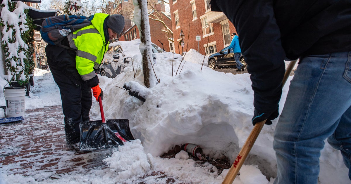
Most of the area will see a coating to an inch of snow by the time the storm wraps up around noon.
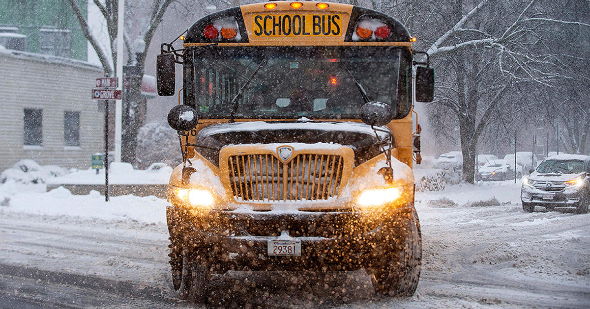
The wintry mix has prompted several closings and delays around the area.
At 6 a.m., rain had started to change to sleet in southern Butler County.
In addition, parts of the area remain under a flood watch.
In Pittsburgh, the Ohio River is expected to rise near 25.8 feet by Monday morning.
As of 4 a.m., the river was at 17.3 feet. Flood stage is 25 feet and when it reaches that point, the Parkway Central begins to take on water.
At 18 feet, water starts to flood the Mon Wharf, and at 22 feet, the 10th Street Bypass begins to flood.
RELATED LINKS
School Closings & Delays
Current Weather Conditions
Local Radar
National Weather Service River Observations
National Weather Service