Pittsburgh Weather: Weekend concludes with snow showers; major storm system moving to the northeast
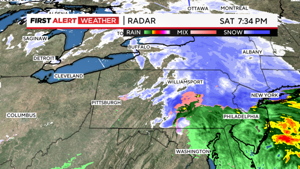
PITTSBURGH (KDKA) - The worst of the snow associated with today's winter storm system is exiting to the northeast, and the rest of the weekend will be much calmer than Saturday has been.
WEATHER LINKS:
Current Conditions | School Closings & Delays | Submit Your Weather Photos
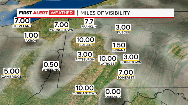
There is some leftover moisture in the atmosphere. This is getting squeezed out as drizzle, freezing drizzle, fog, and freezing fog. With temperatures approaching freezing, this fine precipitation could freeze if it touches a surface at 32° or colder.
Late tonight, snow showers will fire up again. This will not be as intense as some of Saturday's snow. Tonight and tomorrow, most areas will see a coating to an inch possible with the next round of snow. That is not much to write home about.
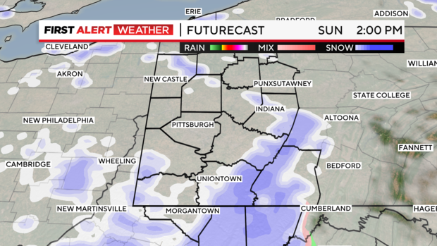
The Ridges will see the snow favor that area, so another 1-3" could accumulate in the higher terrain.
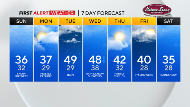
Next week, temperatures will soar to nearly 50 degrees. This sets us up for a soggy Tuesday. Temperatures are expected to fall through Wednesday, transitioning our rain back to snow.
Stay up to date with the KDKA Mobile App – which you can download here!