Pittsburgh Weather: Sunday brings calmness after confirmed tornado, severe storms
PITTSBURGH (KDKA) - A storm survey performed by the National Weather Service office in Pittsburgh determined that an EF-1 tornado, with estimated maximum wind speeds of 105 mph, struck South Franklin Township in Washington County during the evening of Saturday, Aug. 12, 2023.
Daily average High: 82 Low: 63
Sunrise: 6:29 a.m. Sunset: 8:21 p.m.
Alert: Monday is a First Alert Weather Day
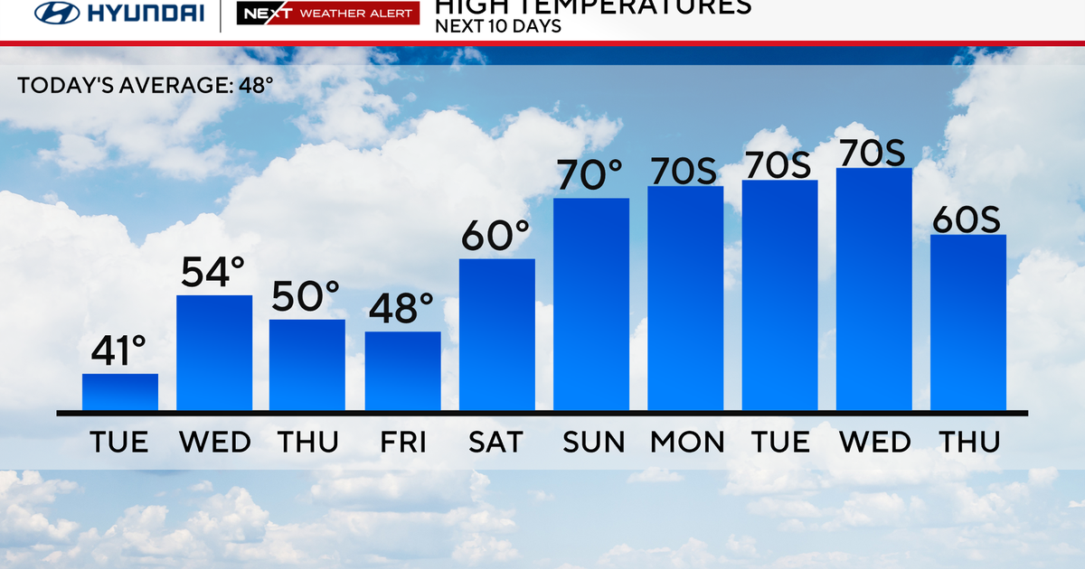
Aware: Temps warm up late week
Note: An EF-1 tornado was confirmed by the NWS in South Franklin Township, Washington County.
The aforementioned tornado is the 16th tornado to impact Washington County since 1950. The most recent tornado in the county was an EF-2-rated tornado that crossed into the county from the northern West Virginia panhandle on Aug. 1, 2022.
They also confirmed a tornado touched down in Belmont County in Eastern Ohio before the cell crossed into West Virginia and Pennsylvania.
Also, the three-inch hail reported in Claysville is the largest Pennsylvania hail reported since 2019 and the largest within our Pa. county warning area (not including Ohio/W.Va.) since 1983.
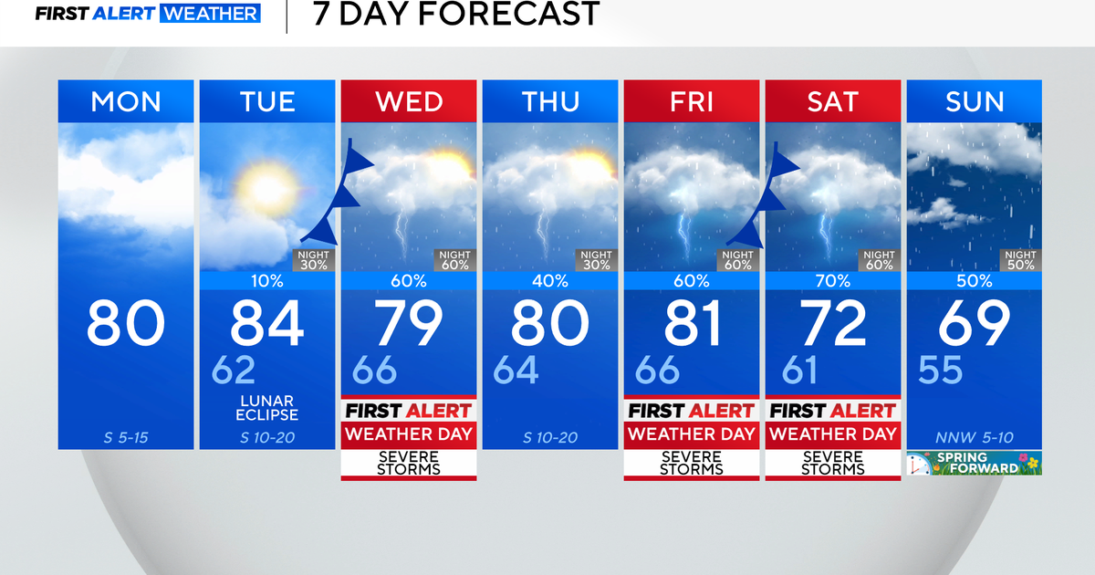
After a quiet Sunday, we turn our attention to the potential for more strong to severe storms later Monday. Because of that, Monday is a First Alert Weather Day, with rain and storms arriving during the afternoon and into the evening. Right now, the models are in disagreement on the exact timing, and this means we could have little to no strong storms or storms that pop up through the afternoon or hold off altogether until late evening/overnight into Tuesday morning.
Stay weather aware, and we will keep you posted as the picture and timing become more clear.
Tuesday will bring a few showers and some late, gradual clearing, and Wednesday/Thursday look nice and sunny. Temperatures warm up again next weekend!
WEATHER LINKS:
Current Conditions | School Closings & Delays | Submit Your Weather Photos
Stay up to date with the KDKA Mobile App – which you can download here!


