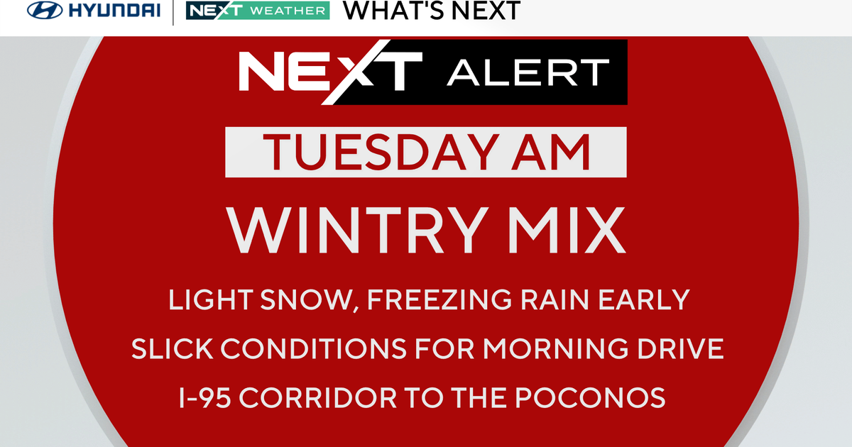
Pittsburgh Weather: Slick spots possible with light snow and drizzle around
PITTSBURGH (KDKA) -- We're kicking off the new year with some light snow and drizzle that could make for some slick spots on the road.
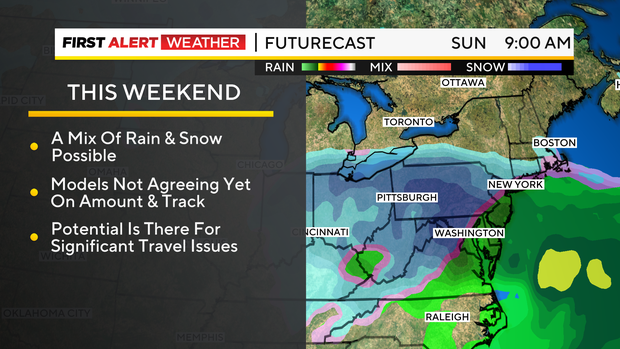
Any Alert Days Ahead? Very real possibility Saturday into Sunday will be. A lot can change before then though.
Aware: As gross as today is going to be, temperatures will be a couple of degrees above the daily average.
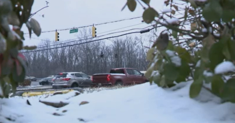
Give yourself some extra time before heading out this morning. We've seen a mix of rain and snow falling overnight.
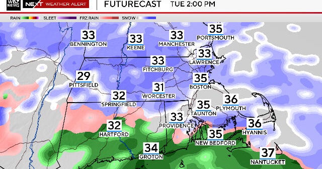
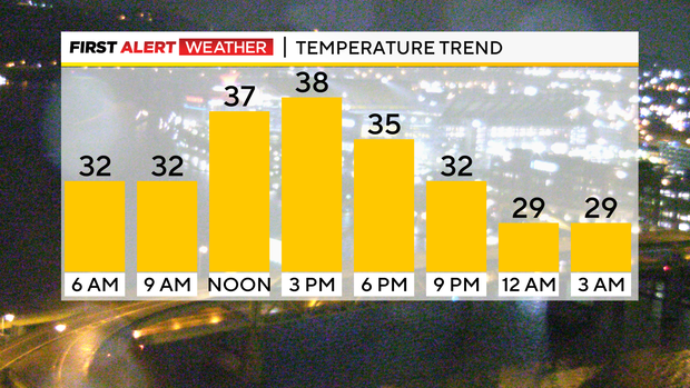
I expect the precipitation to be fairly widespread through at least 10a this morning. Temperatures will also be hovering near 32°.
While it won't be widespread, slick spots are certainly possible this morning. In some ways, days like today are more dangerous because of how isolated any slick spots could be.
Overall things won't get much better this afternoon to what we are seeing this morning. Skies should remain overcast all day long with highs in the mid to upper 30s for everyone.
I continue with a scattered rain and snow mix for the afternoon. Pittsburgh's probably already hit their high for today (39°). I have Pittsburgh's afternoon high hitting 38°. Sunset is at 5:06.
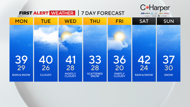
Today will be the most active day of the 'work week'. I put that in quotes because many are off today to celebrate the new year. There is a chance for light snow on Thursday as we get another cool front rolling through.
Thursday will also be our coldest day of the week with highs just hitting around 32°. Friday morning will be the coldest morning of the week with morning lows expected to dip to around 20 degrees for Pittsburgh.
Wind chills could make it feel even colder than that.
WEATHER LINKS:
Current Conditions | School Closings & Delays | Submit Your Weather Photos
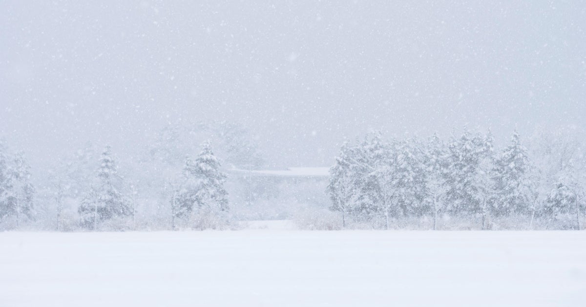
I can't do a weather blog without at least mentioning the weekend and the possibility of a big snow heading our way. We are still several days away but model data has really jumped on the Saturday to Sunday system with the GFS showing more than 6" of snow falling. Now there are a couple of questions that I already have with even the current track. Temperatures are expected to be in the mid to upper 30s while the snow is coming through. Is this going to be a mix of rain and snow? How much sticks on the ground? Also, the GFS is really aggressive with the event with most data points showing more modest snow totals. We will keep an eye on it.