Pittsburgh Weather: Showers, storms roll in before cooldown arrives
PITTSBURGH (KDKA) - Scattered showers and a few thunderstorms are rolling across our region west to east ahead of a potent cold front.
FIRST ALERT: None.
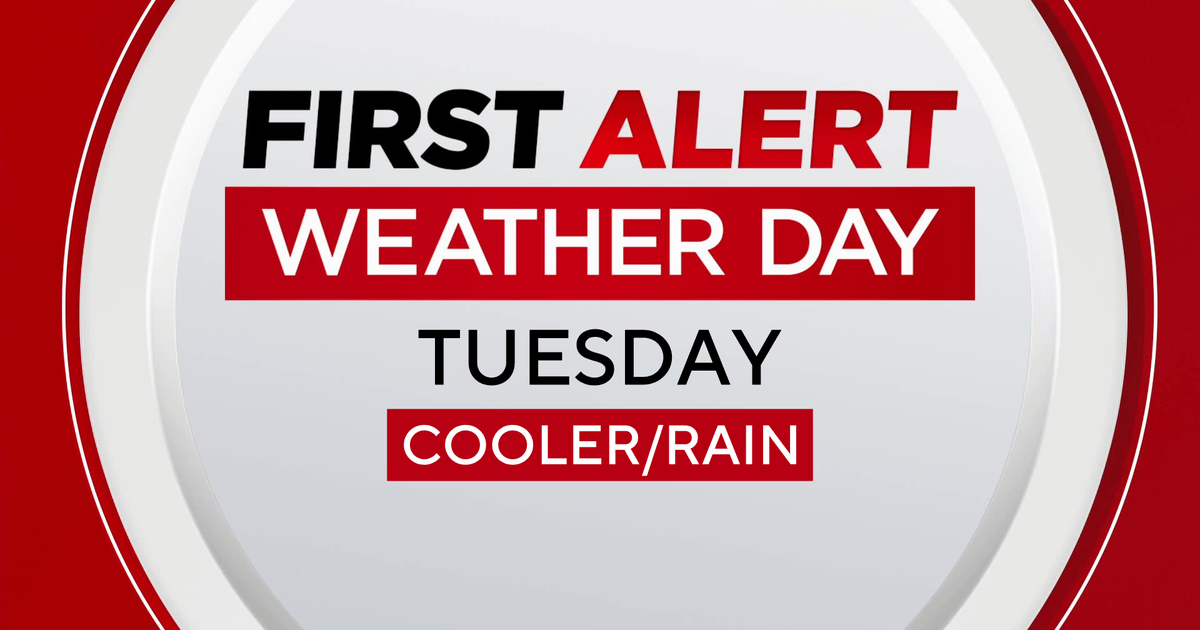
AWARE: Rain and a few thunderstorms this evening. Rain/snow showers Tuesday morning.

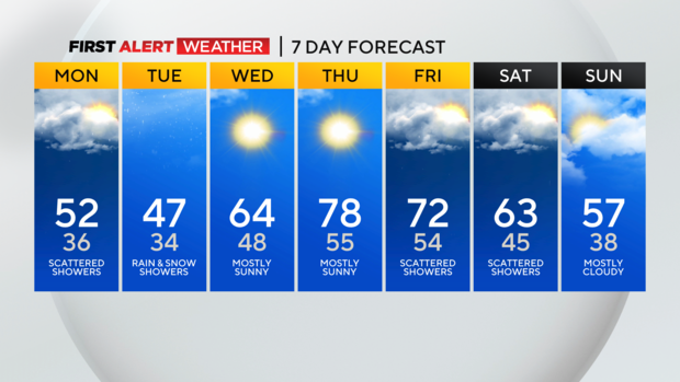
A few storms could contain gusty winds, but so far, the severe potential is not looking likely for Sunday night. Showers end by midnight, and cooler air invades behind a strong cold front. Lows Sunday night dip into the 40s, but only recover back into the 50s by Monday, which is below normal for mid-April.
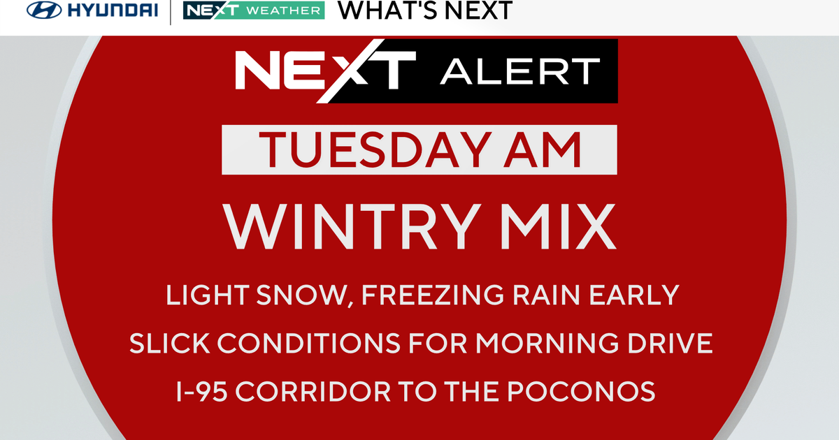
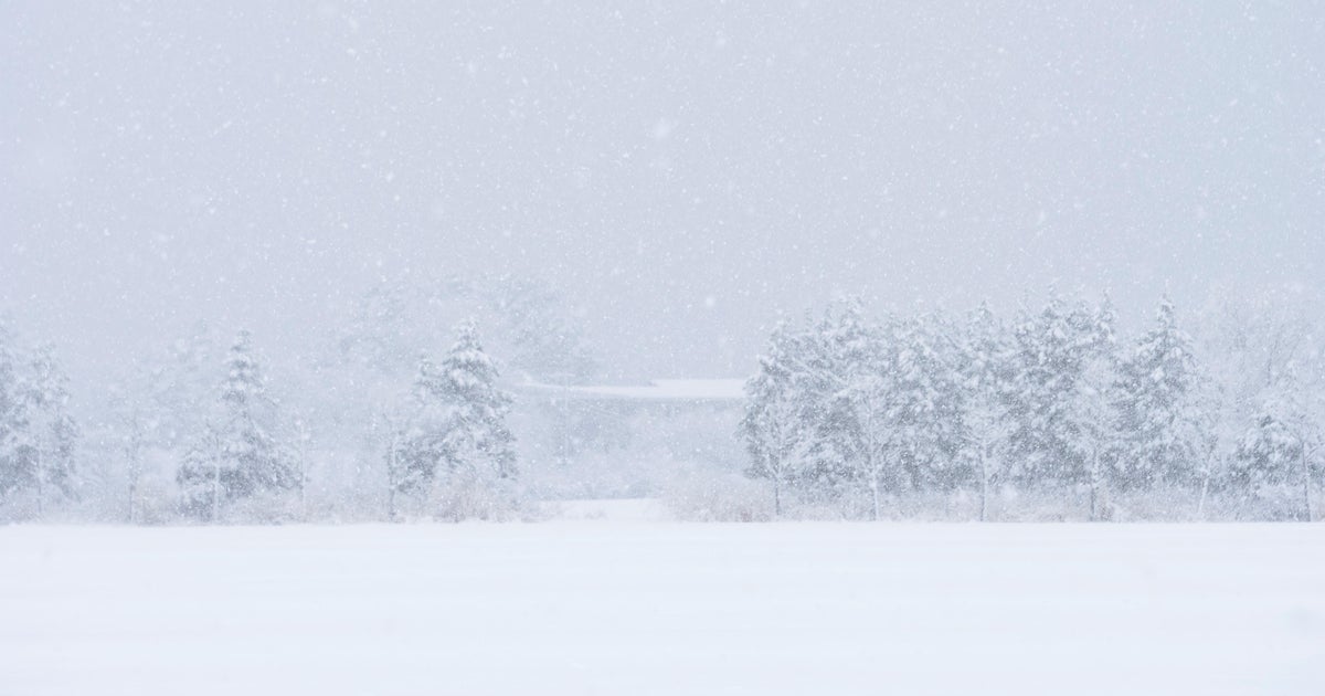
A few scattered showers return Monday and linger through Tuesday. With lows dipping into the 30s Tuesday morning, we could see some snow showers mixing with rain showers through early Tuesday afternoon.
Areas north of I-80 and higher elevations in the Laurel Mountains could see a spotty dusting on grassy surfaces before it melts through the day. Highs Tuesday will be chilly again in the lower 50s. We start another warm-up Wednesday into the 60s, then temps take off once again into the 70s late in the week; however cooler air looks likely to return by next weekend.
WEATHER LINKS:
Current Conditions | School Closings & Delays | Submit Your Weather Photos
Stay up to date with the KDKA Mobile App – which you can download here!