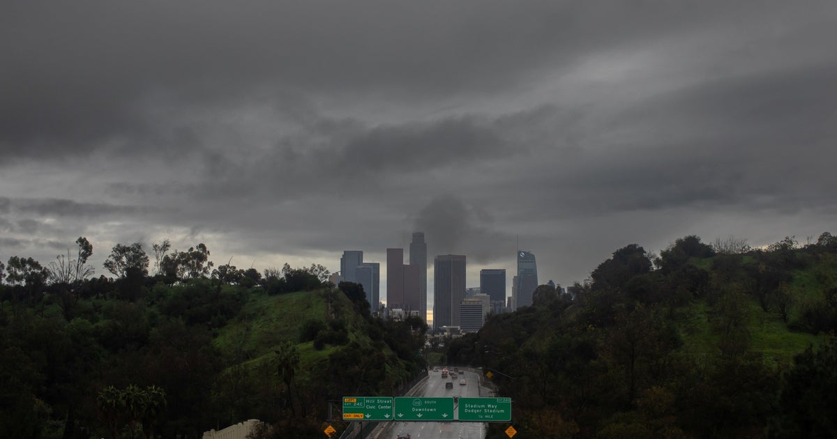
Western Pennsylvania could see storms this afternoon with more on the way next week
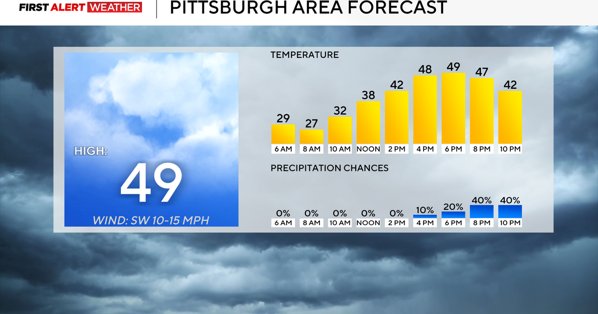
PITTSBURGH (KDKA) - Saturday morning begins with partly to mostly cloudy skies and seasonably mild conditions across western Pennsylvania and northern West Virginia. Skies will likely become mostly cloudy closer to mid-morning and midday with a few showers moving east out of Ohio.
WEATHER LINKS:
Current Conditions | School Closings & Delays | Submit Your Weather Photos
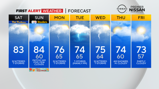
The main disturbance we are watching for today that will trigger additional scattered storms this afternoon will likely not arrive until 1-2 p.m. along the Ohio-Pennsylvania border. Once it arrives, rising air ahead of that will trigger a few thunderstorms shortly thereafter with the best chance of seeing activity east of I-79 from 2-8 p.m.
I think an even better demarcation for storm development may be Highway 119 and points east. Some of these storms could contain small hail (1" or less in diameter) along with gusty outflow winds. The Storm Prediction Center has outlined parts of our area in a Level 1 out 5 "Marginal Risk" to account for this potential.
Saturday night into Sunday morning, skies will gradually clear out and winds will be fairly light. This could lead to patchy morning fog on Sunday, especially in areas that receive rain on Saturday.
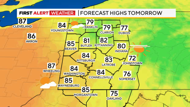
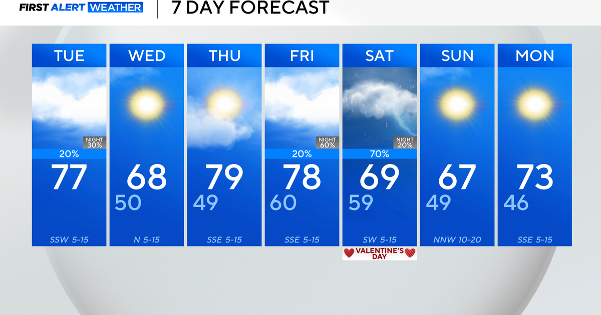
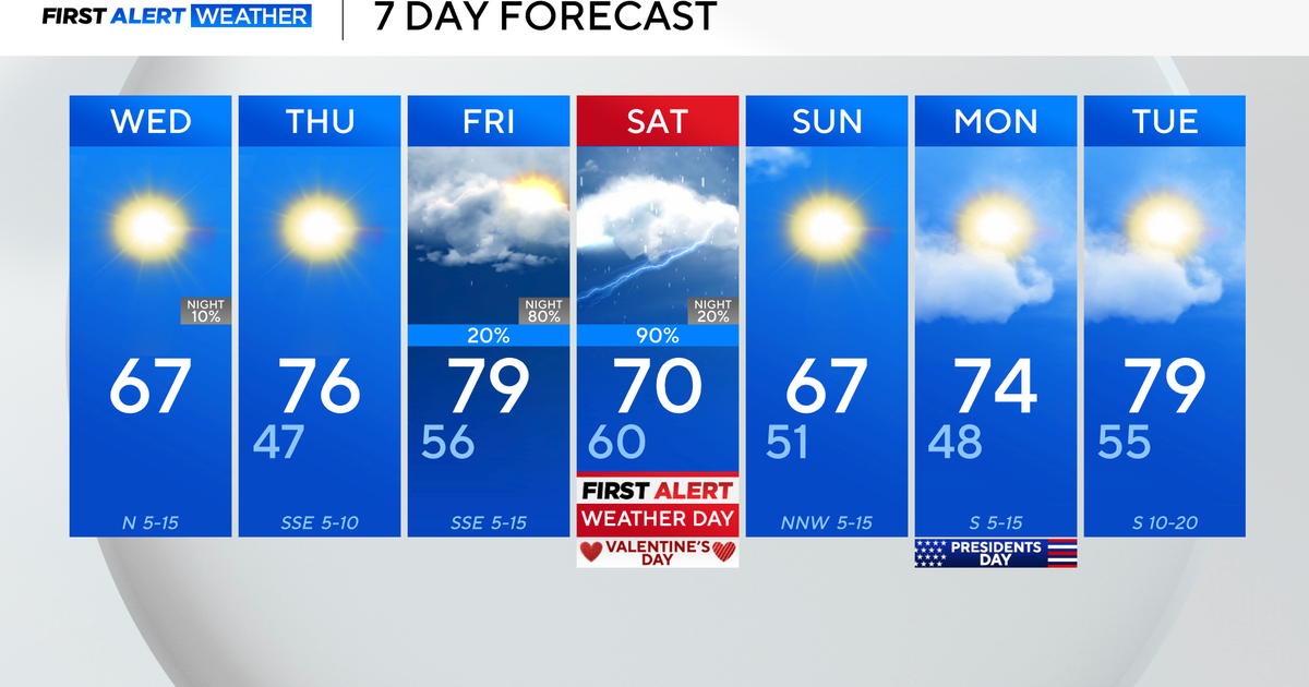
On Sunday, the Steelers are back in town, and the weather pattern looks to cooperate for the home game. High pressure will be overhead leading to mostly sunny skies, although temperatures will be unseasonably warm with highs in the low 80s. Skies will quickly cloud up late Sunday evening into Sunday night.
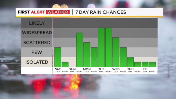
Looking ahead into next week, broad southwesterly flow in the middle to the upper atmosphere will send several disturbances our way beginning Sunday night through Wednesday leading to periodic chances for showers and storms. One trough or disturbance aloft in the atmosphere will likely bring a decaying complex of showers and storms on Monday morning.
Some of our far northern counties, especially along I-80 could clear up Monday afternoon with periodic showers and storms continuing from Pittsburgh and points south.
On Tuesday, a stronger disturbance working in conjunction with some instability could yield a low-end severe weather potential in addition to widespread storms. We will monitor this potential through the weekend. Additional rain chances will continue through Wednesday and potentially Thursday as a trough of low pressure slowly trudges through the region.
The benefit of this active pattern will be upwards of 1-2" of rain, possibly more, spread over several days next week.
Stay up to date with the KDKA Mobile App – which you can download here!
