Pittsburgh Weather: More record-setting high temperatures possible on Wednesday
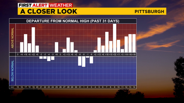
PITTSBURGH (KDKA) - I have been getting a number of people asking on social media to explain just how warm we have been.
What is causing it? I don't think anyone who has emailed me asking has specifically mentioned global warming, they just want the down-and-dirty reason for the warm-up. To those to who I haven't responded yet my apologies I will.
WEATHER LINKS:
Current Conditions | School Closings & Delays | Submit Your Weather Photos
For those to who I have responded, you know that I start off by saying the answer overall is very complex, but there are some things that do stand out. One of the ones I mentioned during our winter weather special was the Azores-Bermuda High which has been strong and in an optimal position to keep cold air away. This ridge is expected to continue to keep us warm through at least the end of the month. At that time it appears the ridge weakens allowing a more normal March and April weather pattern. Up until then expect unseasonably warm weather to be pretty common with only brief dips here and there.
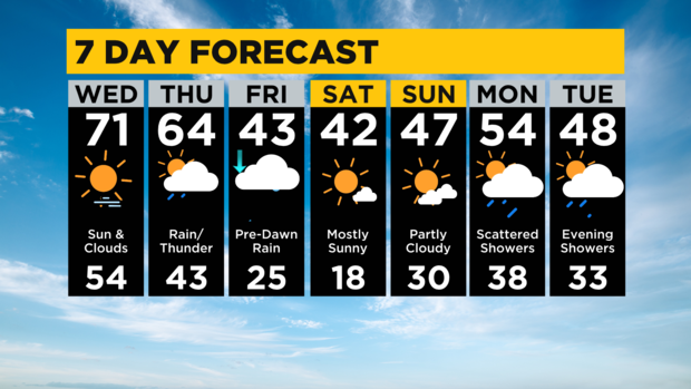
Over the next week, most model data shows no snow for Pittsburgh but next week at this time we may have a shot at some decent snow from Butler County to the north.
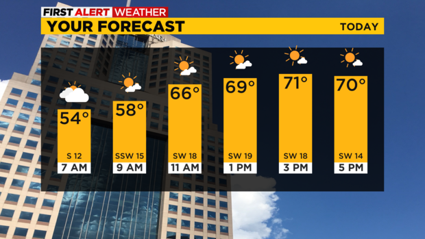
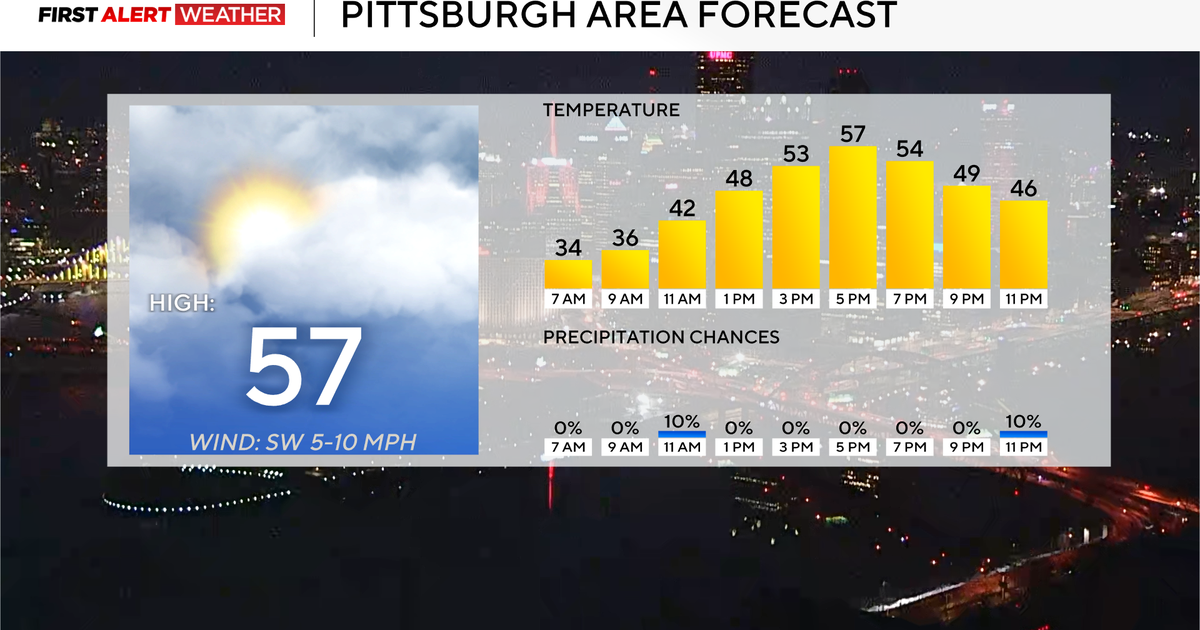
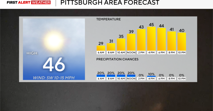
Today could be record-setting. I have now bumped highs into the 70s and some data out there pushes us into the mid-70s.
Possible? Yes.
I am going to keep our forecast in the low 70s for now. The record high for today is just 69° so I am officially forecasting us beating that.
The best rain chance for today has passed with only a small passing shower chance possible from here on out. Morning temperatures are in the mid-50s. I have noon temperatures hitting the mid to upper 60s.
It is going to be a pleasant day overall even with the thick morning clouds.
We may see some sunshine in short spells this afternoon.
Stay up to date with the KDKA Mobile App – which you can download here!
