A blast of cold air in Pittsburgh kicks off the weather forecast for December
By: CBS First Alert Meteorologist Carl Lam
PITTSBURGH (KDKA) - Now that we're officially into meteorological winter (which is different than astronomical winter), we are in for a true shot of cold air that is going to be sticking around Western Pennsylvania for quite a while.
WEATHER LINKS:
Current Conditions | School Closings & Delays | Submit Your Weather Photos
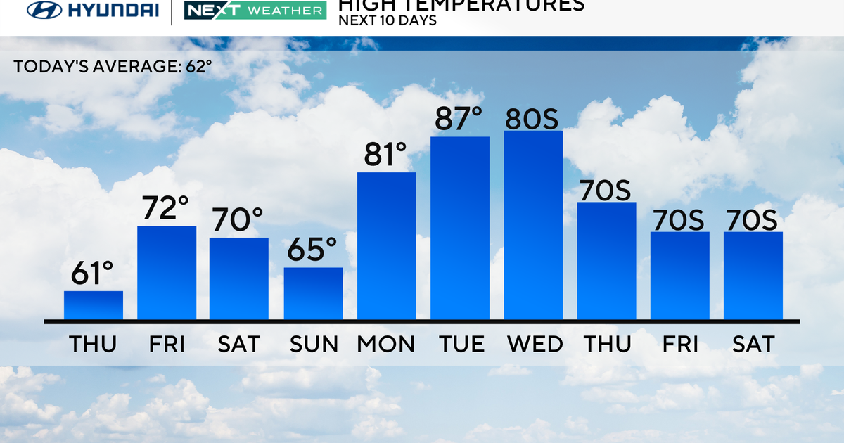
The month of November was especially warm for us and there was plenty of heat early on in the month but just in the last week, the colder air has had more staying power. You'll notice in the graph below that temperatures recently have been well below average, compared to the very warm highs we had early on.
Today is another cold day with temperatures a little warmer than Saturday. Temperatures should reach the upper 20s up north to the low 30s in Pittsburgh and the surrounding suburbs around Franklin Park, Buffalo Township, Cranberry, and Canonsburg.
While we are expecting partly sunny conditions around town today, there could be a few pockets of flurries for areas north of I-80 and for the Laurel Highlands. Otherwise, it is looking like a decent day and the winds won't be as strong either but it will still lead to a wind chill in the 20s.
If you're traveling out to the game in Cincinnati, you don't have any weather concerns that you'll have to deal with. You'll be avoiding any of the wintry weather but just dress warm for the game since temperatures will be in the low 30s in Ohio as well.
As we head into Monday, we are tracking the possibility of some more light snow shower activity, due to a shift in the winds, that may bring some lake effect snow showers into areas like Oil City, New Castle, and Grove City. Accumulations mainly north of I-80 will total up to 1 or 2 inches, if you're caught in one of the snow bands, outside of that, the snow is going to remain rather light.
Temperatures on Monday will also be into the low 30s with some sunshine also in the mix.
Looking ahead to Wednesday, that's when we could get our next chance of some more widespread snow moving into Pittsburgh. We are still tracking this system that is swinging into the area and there's quite a bit of moisture associated with it.
There will be some accumulation from this system during the middle of the week but it is far too early to talk totals at this point. Higher snowfall totals will be in the ridges and Laurel Highlands. The KDKA First Alert Weather Team will be watching this system closely.
The colder air will stick around as we head into the rest of this week and even into next week too, so bundle up and enjoy the more festive feel around town!
Stay up to date with the KDKA Mobile App – which you can download here!


