Pittsburgh Weather: Another chilly start gives way to a comfortable afternoon
PITTSBURGH (KDKA) - We are locked into a fairly pleasant pattern right now. I can't say there is no end in sight because winter will be returning this Sunday. Until then, though, I hope you get outside and enjoy the ride.
Daily average High: 38 Low: 22
Sunrise: 7:26 Sunset: 5:45
Any Alert Days Ahead?: Nope.
Aware: Slowest start in terms of snow (11.0 inches) since 2020.
WEATHER LINKS:
Current Conditions | School Closings & Delays | Submit Your Weather Photos
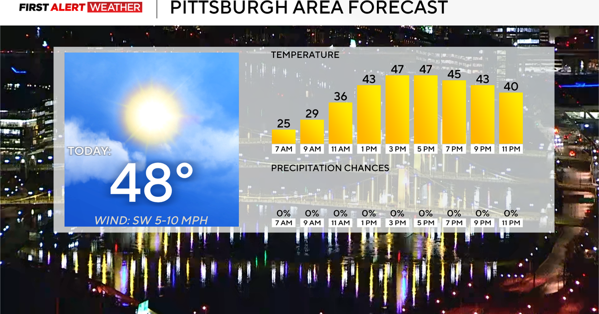
Today will be just as sunny as yesterday and will more than likely be the third completely sunny day in a row in Pittsburgh. Last year, we had zero total days, ranked as a '1' on the NWS Pittsburgh climatology page. Every day, the NWS determines, through the use of a tool called a pyrheliometer, the amount of sunlight a spot receives. The tool records sunshine each day and gives a grade from 1-10. Last year was a normal February, and we saw no '1s' during the month. We only saw two days last February with skies deemed at a four or lower.
We are now five days into this February and have one '4' day and two '1' days. That is very rare.
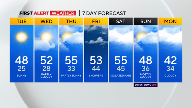
The clear skies come to an end after today, with partly cloudy skies expected on Wednesday. Mostly cloudy skies should be back on Thursday, and rain chances return on Friday. The best chance for rain on Friday comes in the morning around rush hour, with just an isolated rain chance for the afternoon.
Saturday and Sunday will also see isolated rain chances. If you're wondering about our next snow chance, it happens next Tuesday at this point. I will say there are tell-tell signs that the snow chance will be mixed with rain or even end up being all snow for some.
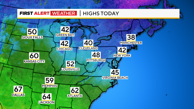
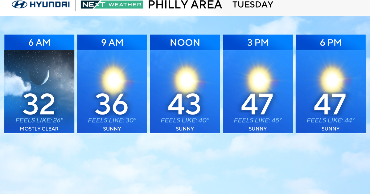
Circling back to today, I have highs hitting the upper 40s, with light winds coming out of the northeast. Highs should return to the low 50s on Wednesday, with highs staying in the 50s through Saturday.
A winter air mass returns on Sunday, with cooler weather rolling in to start next week.
