Pittsburgh Weather: A pleasant, mostly cloudy Tuesday before more severe weather
PITTSBURGH (KDKA) - We continue to have warm air moving into our region, with the biggest change over the last 24 hours being dew points that have risen.
- Daily average High: 57 Low: 37
- Sunrise: 7:00 Sunset: 7:48
Today: Mild in the morning and pleasant in the afternoon. Today's rain chance is 20%, meaning almost everyone will be dry.
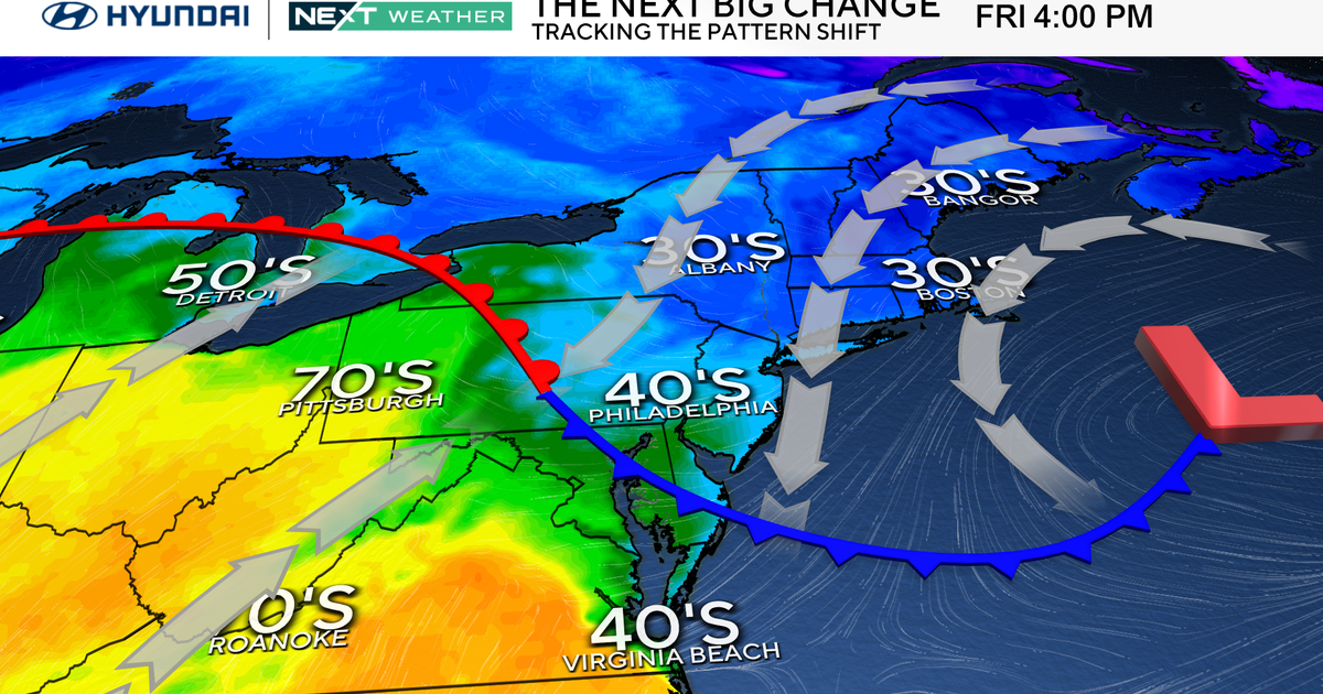
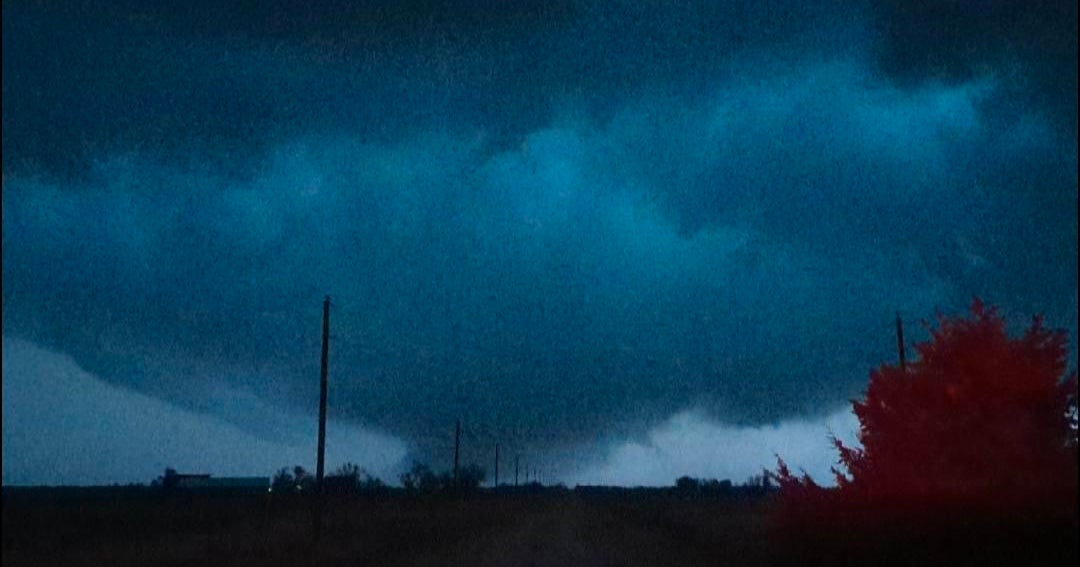
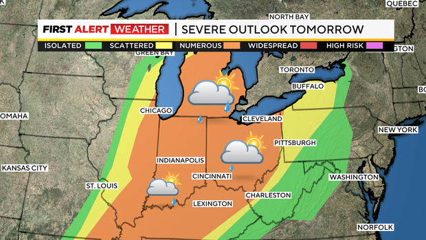
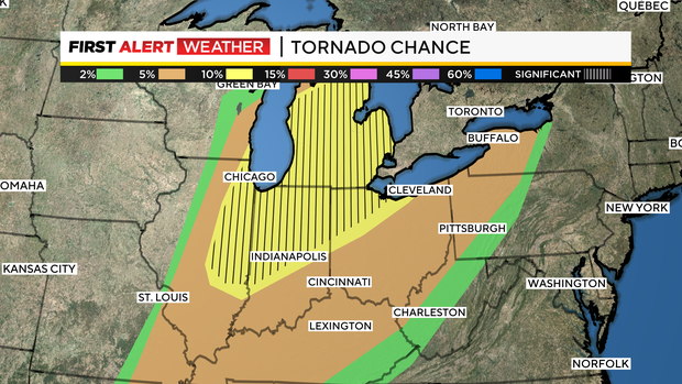
Any Alert Days Ahead?: Wednesday is a First Alert Weather Day due to severe weather. Strong wind is the primary concern, but there will be a tornado risk too. Storm threat could slide into very early Thursday morning.
Aware: Easter Sunday is looking pleasant and dry. The entire Easter weekend is looking pleasant.
Monday, at this time, dew points were hovering around 20 degrees. Tuesday dew points, a measure of moisture at the surface, are in the upper 40s and will be in the low 50s by the end of the day. The dew point is that number that quietly sits behind temperatures that tell us so much about our atmosphere and environment. For one, temperatures can't fall below the dew point.
So, Tuesday morning, since the dew point is in the 40s, temperatures can only drop into the 40s. Dew points also determine how much rain we see and even help determine severe weather chances. It is such an important number that we oftentimes use when forecasting, but we may seldom mention it out loud. Every once in a while, I like to highlight it, though, and remind folks of how important it is.
I will circle back to today's forecast in a bit, but I want to update you on what I expect to happen Wednesday with severe weather chances ramping up.
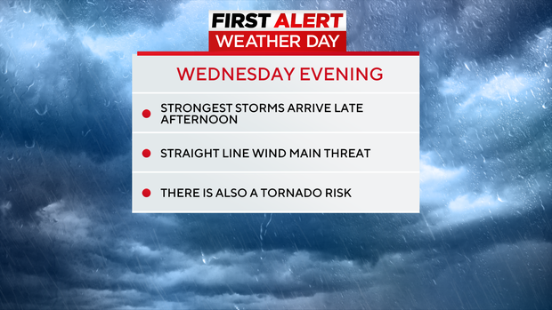
Wednesday is a First Alert Weather Day due to strong wind speeds and storms expected to impact our area during the late afternoon and evening.
The good news is that the model data I have seen Tuesday has pulled back on the intensity of storms, and there are a couple of reasons for that. One is that we see our strongest storms now in the late afternoon hours. This round of storms will be well ahead of a cold front, and as it rolls by as the sun sets, it will stabilize our atmosphere ahead of the cold front passage on what now appears to be Thursday morning.
No matter what model data says now, we will have several ingredients in place to spark storms, and you should be weather aware throughout the day. On top of strong winds, we have a decent shot at seeing a tornado or two and are included under a 'slight' risk of severe storms (level 2 out of 5, 5 being highest).
Back to Tuesday, it's looking nice, with a sunny start to the day and likely mostly cloudy skies starting at 10 a.m. and going through the rest of the day. There will be periods of sunny skies, but for the most part, skies will be overcast this afternoon. Temperatures are already near 50 degrees to start the day, and highs will climb into the low 70s for most places.
Warmer air will be in place for Wednesday, and I think we will see our first 80-degree day of the year on Wednesday. Once the rain ends on Thursday afternoon, the rest of the week through Easter is expected to be dry and pleasant. Enjoy!
WEATHER LINKS:
Current Conditions | School Closings & Delays | Submit Your Weather Photos

Stay up to date with the KDKA Mobile App – which you can download here!