City Officials Preparing For Flooding As Heavy Rains Draw Closer
Follow KDKA-TV: Facebook | Twitter
PITTSBURGH (KDKA) – Preparations are already underway in Pittsburgh as the potential for significant flooding increases.
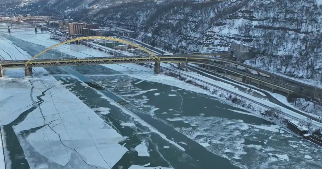
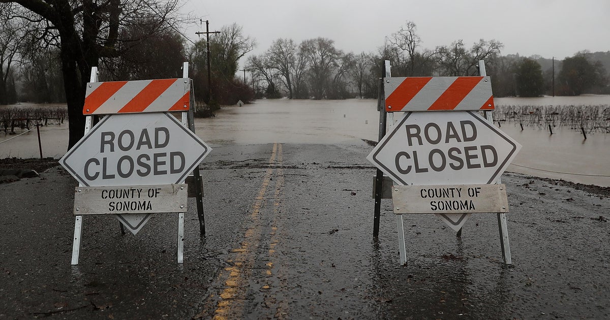
The flow of Pittsburgh's three rivers could best be described as swift and angry. With two powerful waves of rain on the way, the first responders are concerned for "potential for flash flooding, area flooding, mudslides, landslides and potential for a lot of road closings," says Allegheny County Emergency Management Chief Matt Brown.
KDKA's Marty Griffin Reports:
With the North Shore Riverwalk underwater, the 10th Street Bypass closed and the Mon Wharf closed, the situation is only expected to get worse.
Sometime Sunday afternoon the "bathtub" portion of the Parkway East downtown is expected to flood and remain flooded through Monday morning's rush hour. That will send all the Parkway traffic onto Fort Pitt Boulevard, where police officers will work the traffic signals to try and keep traffic moving.
Pittsburgh Public Safety Director Wendell Hissrich says come Monday morning, "maybe try to change your time coming to work or work from home if that's possible."
There is little doubt the morning rush hour will be impacted, the Monday afternoon rush is up in the air.
Chief Brown says if you had a flooded basement or a flooded yard or street last weekend you can probably expect a repeat. He says the ground is simply too saturated to handle this next slug of rain.
"Last weekend the biggest problems were in the southern end of the county. Elizabeth, Forward Township, Dravosburg, and McKeesport," he said.
First responders will be watching areas prone to flooding -- like Hays, Sawmill Run, Becks Run and Washington Boulevard. Hissrich says the gates on Washington Boulevard have been tested and are ready. He says police and public works employees have been told, "As soon as the water starts reaching the bottom of the vehicle, the body of the vehicle, they will shut the Boulevard down."
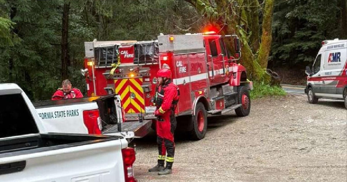
Nine swift water rescue teams will be deployed throughout the region to be able to quickly respond if someone get into trouble.
All indications point towards the fastest rise in waters from Saturday night to Sunday morning, which is concerning to Chief Brown.
"What I'm always fearful of is the nighttime flooding. It's no different than the nighttime tornado or the nighttime thunderstorm. People are asleep and not paying attention to the warnings," he said.
The impact of the expected 2 to 3 inches of rain from this storm are expected to be felt well into the week.
On Thursday, Mayor Bill Peduto said the flooding could be the the worst in the area since remnants of Hurricane Ivan hit in 2004.
We are preparing for severe flooding. Worst since Hurricane Ivan in 2004. Conservative estimates have Ohio River cresting Sunday night at 26 ft - could be more. Road surfaces/potholes will be washed away. Numerous landslides expected. https://t.co/odnTgkPei3
— bill peduto (@billpeduto) February 22, 2018
According to the National Weather Service, the Ohio River is expected to crest at 26.5 feet by 7 p.m. Sunday. Flood stage for the river is at 25 feet, which is expected to be reached Sunday afternoon.
City officials are already closing part of the bike lanes on Penn Avenue between Sixth and Stanwix streets.
"This will allow Pittsburgh Allegheny County Thermal (PACT), which has tunnels vulnerable to flooding, to stage a pump in one of its vaults," the release said.
Should that pump be activated, Fort Duquesne Boulevard between Sixth and Stanwix streets may also be closed.

