It's going to be a clear day in the Pittsburgh area before rain moves back into the forecast tomorrow
PITTSBURGH (KDKA) -- It's going to be a clear day in the Pittsburgh area with rain chances moving back into the forecast tomorrow.
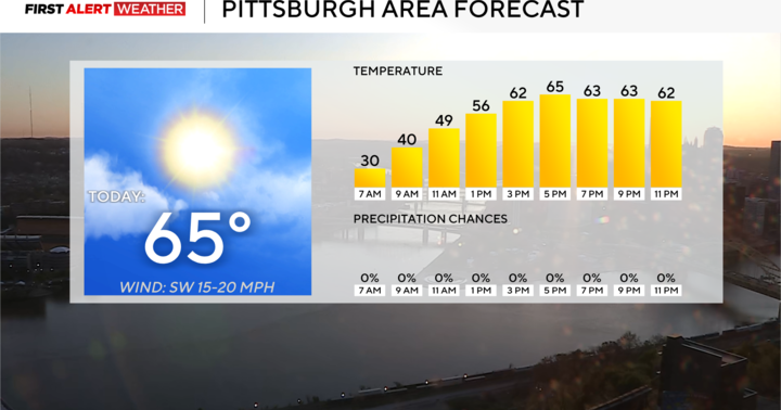
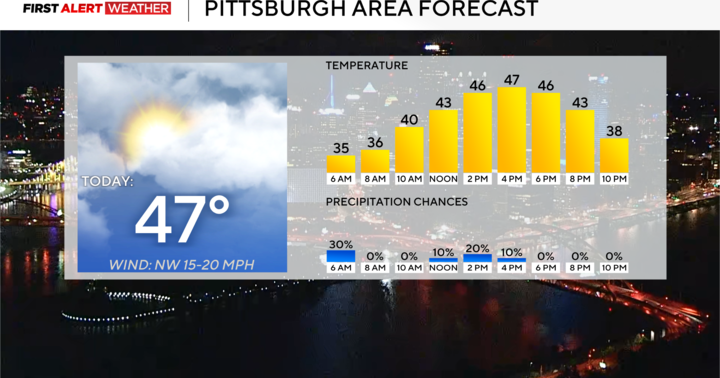
We've technically already reached today's high temperature (57 degrees) just after the midnight hour or so. Cooler—but not cold—air is moving in behind this morning's cold front and will result in slightly cooler afternoon temperatures, although with mostly sunny skies, it should still be an overall comfortable day with afternoon temperatures peaking in the lower 50s to upper 40s.
Overnight into Wednesday morning, temperatures will drop to the low 30s for most and at the present moment, temperatures may stay around or just above freezing in Pittsburgh thanks to a light southeast wind and clouds that will move in to the region toward daybreak.
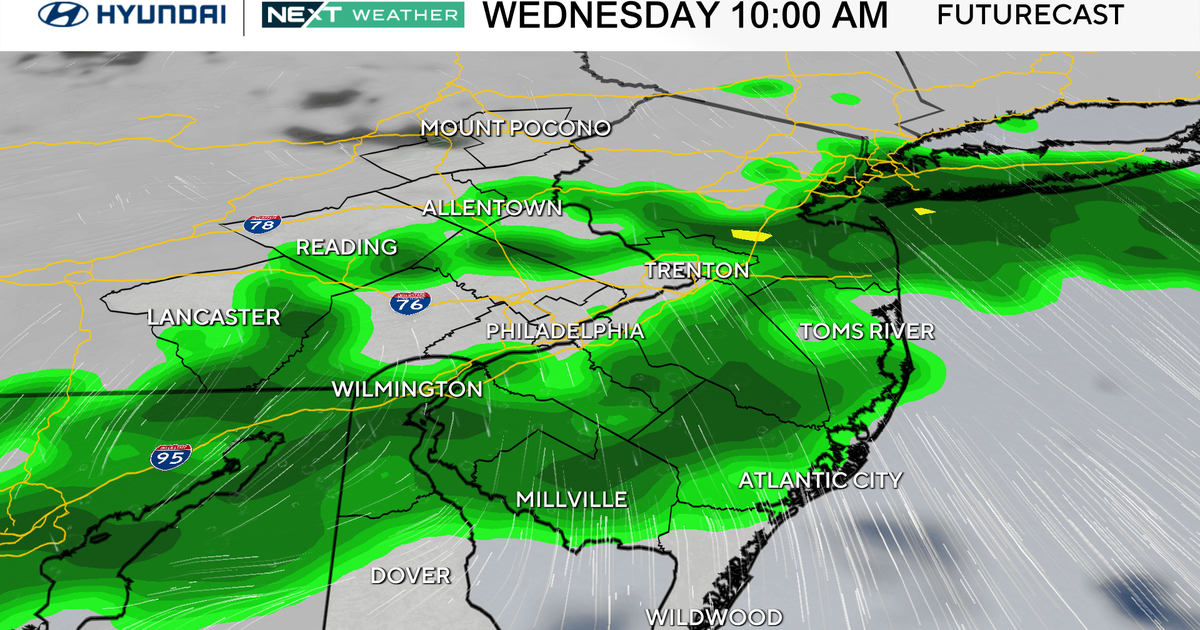
Clouds will increase through the morning Wednesday with another round of rain showers by afternoon and evening as another trough of low pressure passes through the region. This system will not get much stronger until it passes east of us and the precipitation will end before the coldest air settles in, so wintry precipitation is not a major factor for Wednesday night into Thursday outside of a brief period of some snow north of Rt. 422 toward I-80 for an hour or two on the back end of the rain by early evening Wednesday.
Most spots will receive around 0.25" with a few locations possibly near 0.5", especially closer to I-70 and I-68. Models may be overdoing the precipitation quantity with this system given how fast it is moving and how little time it will have to draw up moisture from the southwest.
Expect temperatures to continue to drop each day this week, ultimately reaching below average levels by the end of the upcoming week. Another trough of low pressure will swing in from the northwest on Friday bringing another chance for a few snow showers along with another surge of cold air. As the cold air continues to flow over Lake Erie, that could keep lake effect snow showers and flurries through Saturday before the coldest of the air settles in with high pressure by Sunday. Although Sunday will be the coldest day of the week, models have backed off a few degrees on the lowest of the low temperatures.
This cold air will likely stick around until early next week before a warmer pattern sets in around and especially after Christmas, so for anyone looking for a big snow—your probability is trending lower and lower.
WEATHER LINKS:
Current Conditions | School Closings & Delays | Submit Your Weather Photos


