High temperatures remain above normal; Pittsburgh area to see low-end storm threat Monday
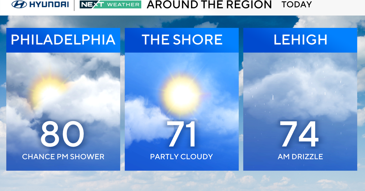
PITTSBURGH (KDKA) -- Another very warm day across the area with a few clouds and spotty showers popping here and there.
Climate Data: Average High: 81 | Average Low: 61
First Alert: None
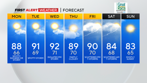
Those showers will die out this evening, but a few more isolated showers and storms are expected to develop overnight and into Monday as a disturbance pushes across our area.
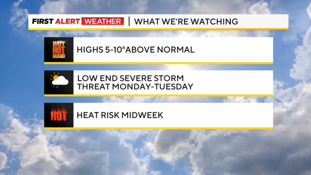
The Storm Prediction Center has part of our area outlined in a level 1 or "marginal risk" of severe storms on Monday. The severe threats would be gusty wind and small hail, but look low-end at this time. Still, don't be surprised if we see a brief but strong storm in spots. That same low-end severe chance lingers to our northwest Tuesday for areas mainly from Lawrence County north up to Lake Erie.
Dewpoints and humidity tick up tonight into tomorrow and will make for potential heat issued midweek as high temperatures flirt with 90 degrees again and "feels like" heat index readings will approach the mid-to-upper 90s. Take extra caution Tuesday through Friday, and stay hydrated.
A few more spotty storms are possible Wednesday and again late Friday into early Saturday with an approaching cold front that will knock temperatures back into the lower 80s for the second half of the Labor Day holiday weekend.
WEATHER LINKS:
Current Conditions | School Closings & Delays | Submit Your Weather Photos