The difference between roll clouds and shelf clouds | Hey Ray
PITTSBURGH (KDKA) - The viewer questions keep coming!
Mark & Evelyn from Rostraver asked: "We once saw a huge roll cloud parallel to I-70 in Ohio east of Columbus. It was amazing, very clean looking, circular tube rolling, and not very high. How is this caused and why is it so rare?"
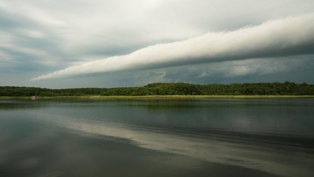
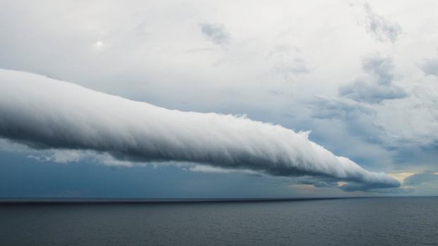
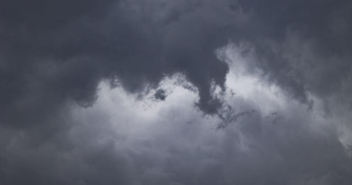
Let's start off with what a roll cloud is, for those who don't know. A roll cloud is defined as a low-level, horizontal, tube-shaped accessory cloud completely detached from the thunderstorm base. It is located along the gust front and most frequently on the leading edge of a line of thunderstorms.
Roll clouds are not and do not produce tornadoes.
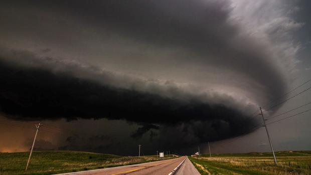
These are considered arcus clouds, like a shelf cloud. Shelf clouds are connected to the storm, though, while roll clouds are not.
So, what causes these really cool, rare clouds?
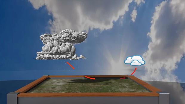
When an approaching gust front or thunderstorm pushes out cooler, drier winds, it causes the warm, humid air to cool and condense into a cloud. This happens along the length of the frontal boundary, creating a long cloud formation.
The National Weather Service says if there is a temperature inversion, a situation where temperature increases with height, above where the cloud layer is forming, the clouds may become "trapped" and form this particular shape. That air can actually roll, or spin horizontally.
These, however, do not turn into a tornado. If a tornado were to happen, that would be located within the storm itself. Remember, roll clouds are detached.
As mentioned, these are rare.
Roll clouds need specific conditions to form. All those things I mentioned earlier need to be just right. I mean, just right to happen.
Areas with strong temperature inversions and lake or sea breezes are more likely to see them because those specific ingredients have more of a chance to come together.
