First Alert Weather: Stormy conditions last through the morning, wind will lead to rapidly falling temperatures
PITTSBURGH (KDKA) - Through yesterday we are tied with last year for the 6th warmest February on record. Out of the top 7 places, 3 have happened over the last decade - three of those occurred in the 1800s.
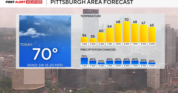
It's going to be a busy weather day today with a little something for everyone happening through the day.
WEATHER LINKS:
Current Conditions | School Closings & Delays | Submit Your Weather Photos
The most concerning thing we are watching is the chance for severe weather. If we see severe weather today it will happen throughout the morning through about 1:00 this afternoon.
That's when a cold front will slam through our region.
I expect a line of storms to develop right along the cold front bringing striking wind speeds our way. Strong wind will also be possible with any cells ahead of the main line as they race to the east with speeds upwards of 50-60mph. Frequent lightning along with downpours could also prove challenging as you try to navigate through these cells as they come through.
Conditions could change quickly so please be weather-aware throughout the morning and early hours.
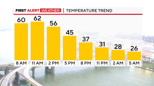
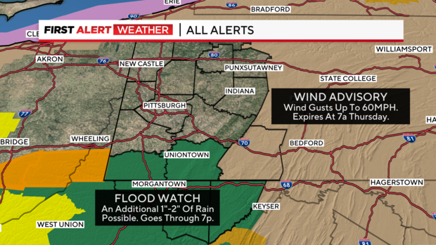
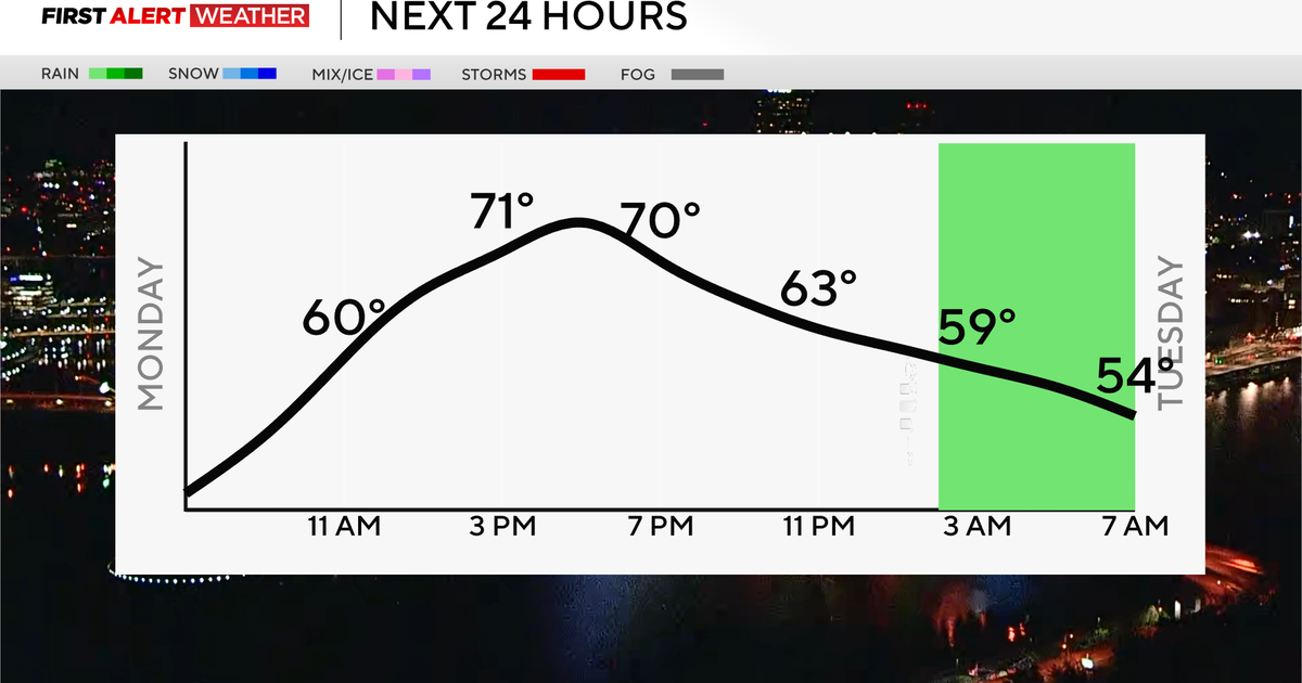
When it comes to the forecast, temperatures will rapidly drop tonight with strong winds around. The Laurel Highlands are under a wind advisory through 7 a.m. on Thursday where wind gusts could top 50mph.
Today's low will be hit just before midnight.
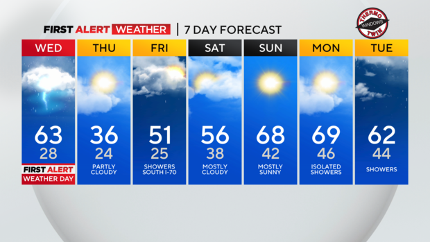
I have us dipping to 28 by midnight. Temperatures will be seasonal (it will seem cold) on Thursday and Friday mornings.
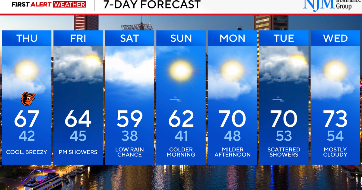
Thursday's high will only hit 36°. I have Friday highs hitting the low 50s with mid-50s for highs on Saturday.
I do also have a small rain chance on Friday mainly for places south of I-70.
Highs will be near 70 on Sunday and Monday!
Stay up to date with the KDKA Mobile App – which you can download here!
