Fayette, Westmoreland Counties Prep For Superstorm
GREENSBURG (KDKA) -- Counties to the east, like Fayette and Westmoreland, are the first to feel the impact of Superstorm Sandy.
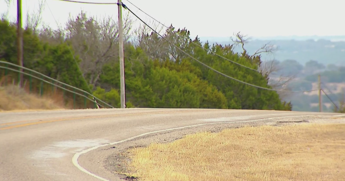
At the Laurel Summit on Monday afternoon, a heavy, slushy rain pounded the pavement.
Those conditions are likely to continue for some time as Westmorland County braces for potential wind damage, power outages and flooding.
Public Safety Spokesman Dan Stevens says the county will be protected from the worst of the storm by the Chestnut and Laurel Ridges, but it isn't a storm to take lightly.
"Our eastern communities are the ones that are going to be most affected," he said. "And it will diminish as it goes further west."
PennDOT spent the day cleaning storm drains across the area to try and prevent flooding.
Meanwhile, state police prepped to close down flooded roads and help with any necessary evacuations. They've cancelled all non-essential functions in the coming days to free up troopers to help with the storm.
"If we see there is one area struck significantly by weather, say it is the eastern region because obviously that's where the weather's predicted to be the worst, that we could rotate and move troopers and migrate them over to that particular stretch of the Commonwealth; so we can help out and help the guys in that area," said Trooper Steve Limani, of the State Police.
The 911 Center have brought in extra operators for Monday evening as the storm takes its course.
Also, emergency shelters will be set up as necessary.
"People need to understand that this is a strong storm," said Stevens. "They're not going to see the damage or the flooding that they're going to see out east. We're going to have some issues here and people need to understand that this is very serious and they need to respond and react in an appropriate manner."
RELATED LINKS:
More Superstorm Sandy Coverage
Latest Weather Conditions


