What are Gravity Waves? | Hey Ray!
PITTSBURGH (KDKA) -- We have another question to answer, and this one has to deal with some very interesting clouds.
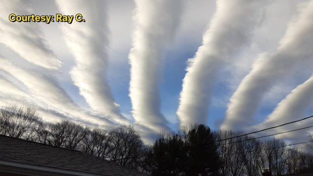
Ray C. took a picture just outside of Uniontown, Pennsylvania, where you can see the clouds are lined up in neat rows, sort of like a cornfield. Ray wanted to know what was going on to make these clouds happen.
They are called "Gravity Waves."
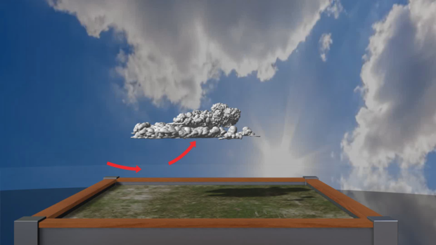
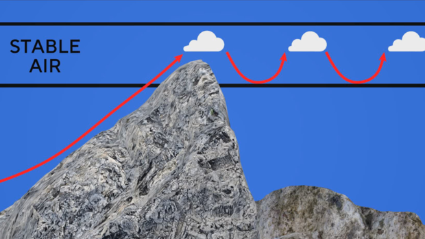
Think of gravity waves as waves moving through stable air. When you look at waves in the ocean, there are high parts and low parts to that wave. Clouds need lift to materialize in the atmosphere. The high part of the "wave" features condensation, creating a cloud.
When you have big hills or mountains like we have in this area, you create a set up for these gravity waves to occur. As air blows across hilly or mountainous topography, it encounters changes in air density. This forces air upward. If that hits an inversion, or warm layer aloft that prevents air from rising, that causes the wave to continue on.
When that forced air hits the highest point, the moisture in that air condenses, creating a cloud. With every wave, there is a down motion, too. When the wave starts to dip, the cloud dries up. That sinking causes the air to warm again.
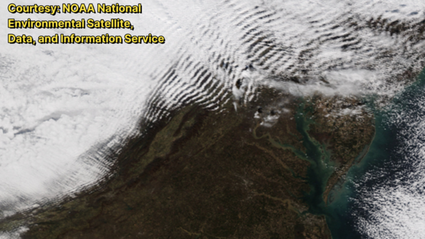
When it is warmer than the surrounding air, it rises again. As it cools, it condenses into another cloud. This keeps spreading outward, sort of like the ripple after you drop a stone in water.
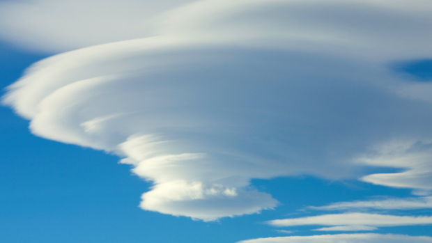
If that wind is stronger, you can get an even stranger cloud called a lenticular cloud.
These are some of the strangest looking clouds on Earth. These lenticulars are a sign of extreme turbulence, and another example of a gravity wave. These can occasionally happen here, but in PA they are rare.
