Maps show how rain and snow have improved drought conditions across Pittsburgh area
PITTSBURGH (KDKA) — After a very dry end to summer and first half of fall, drought conditions are showing substantial signs of improvement across much of the Ohio Valley region.
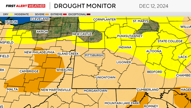
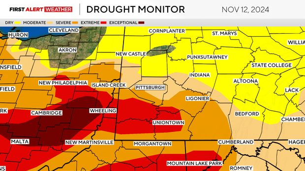
This week's drought monitor, which was released on Thursday, now depicts only areas of "abnormally dry" to "moderate drought" across western Pennsylvania and northern West Virginia, with "severe drought" remaining over eastern Ohio. This is a substantial improvement compared to a month ago when drought categories were one to two levels higher in spots compared to Thursday.
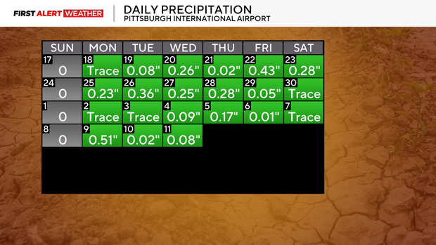
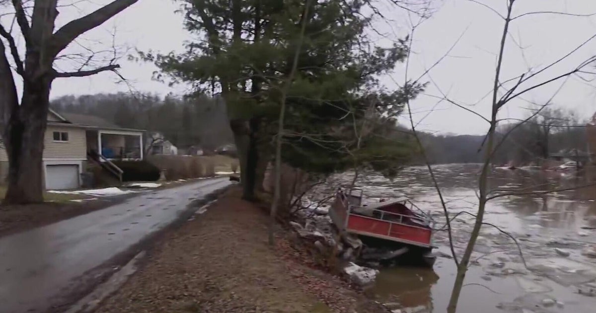
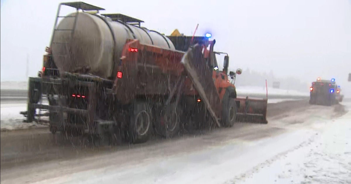
The improvement comes on the heels of several storm systems that brought steady soaking rain and heavy snowfall for the Laurel Highlands and the Ridges. In fact, over the last three and a half weeks, a trace of precipitation or greater has been recorded at Pittsburgh International Airport nearly every day except Sundays. Sixteen out of the last 25 days have had some measurable precipitation, which counts when there's more than 0.01 inches.
This active stretch follows an abnormally warm and dry fall. Up until the recent cold stretch that began around Thanksgiving, fall 2024 ranked within the top five warmest. The Pittsburgh area ended fall 2024 with an average temperature of 58 degrees, which is 4.4 degrees above normal and the sixth warmest fall on record. As for precipitation, the area got 6.46 inches this fall, which ranks as the 44th driest on record. Meteorological fall runs from Sept. 1 to Nov. 30.
Looking ahead to the next couple of weeks, the large-scale weather pattern will likely continue to remain active with a couple of systems moving in our direction from the West Coast and Midwest States. This will likely keep precipitation through Christmas around to ever so slightly below normal, however, First Alert Meteorologist Trey Fulbright thinks the area will come out closer to normal, which should allow drought conditions to remain steady and or slightly improve.
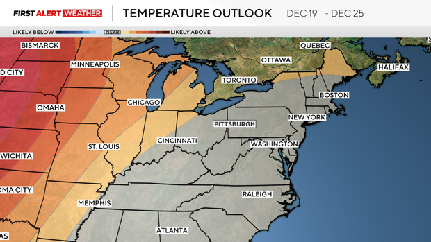
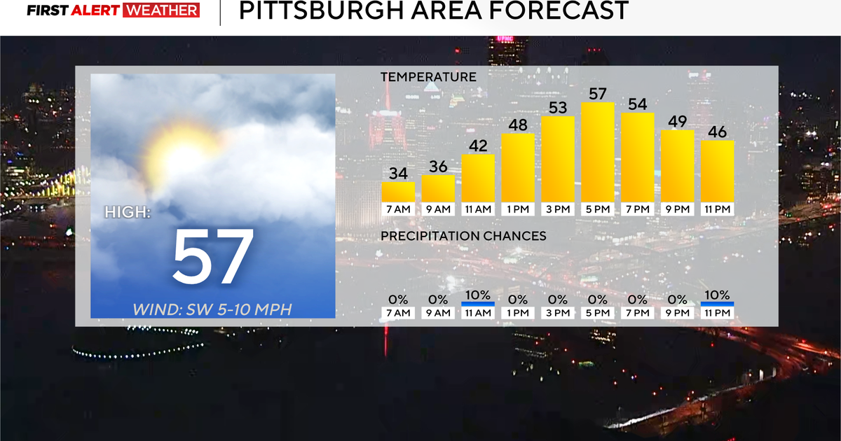
As far as temperatures are concerned, milder air looks to make a comeback for the early part of next week with a more progressive flow from the Pacific as opposed to Canada and the Arctic region. Late next week and into Christmas week, the area may see a tendency to have more flow aloft out of Canada and the arctic regions which should bring a return to colder weather. Overall, temperatures should average out around seasonally normal levels, which for December means normal bouts of cold mixed with warmer days.
