Snow Settles In On Pittsburgh, More Expected This Weekend
PITTSBURGH (KDKA) – Another winter storm could put a hitch in your Super Bowl Sunday plans as more snow heads this way.
The National Weather Service has issued a Winter Storm Watch that will go into effect late Saturday night and last through early Monday morning.
Latest Forecast:
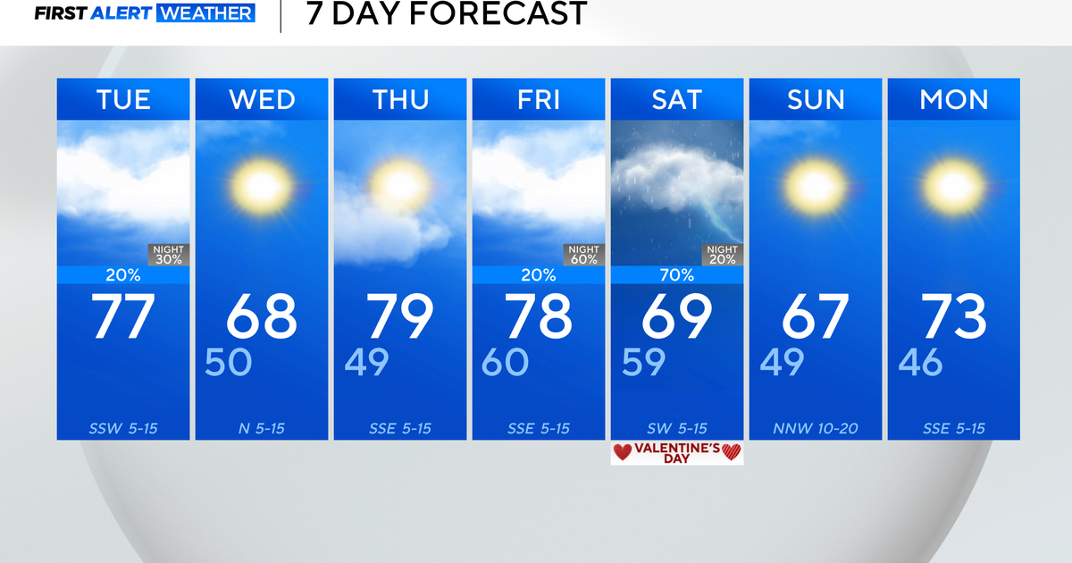
KDKA Meteorologist Jeff Verszyla says the weekend will start quietly with cold temperatures and some breaks of sunshine. But then, the system will arrive Sunday morning.
"We'll start to see some flurries and light snow showers developing by mid-morning on Sunday, and the exact track of the storm will determine ultimately how much accumulation, because that will also determine how much milder air can wedge in from the south and cause some mixing, which cuts down on accumulations," he said. "Right now, based on the current information that mixing line will make its way somewhere towards Allegheny County, maybe not quite that far north, but across our southern tiered counties. As a result accumulations less there and higher as you get further to the north, especially of Allegheny County."
Verszyla says right now most places in and around Allegheny County will see four to seven inches, areas south will see three to four with mixing, and places north - approaching I-80 corridor - will get six to nine inches.
"Of course, those numbers subject to change if the track should change over the weekend," Verszyla added.
A blowing snowstorm that sweeps in just before the rush hour is getting to be a bad habit around here. It happened again Friday.
"The snow essentially came when it wasn't supposed to, but that's normal," said Bob Skrak, PennDOT's Butler County manager.
KDKA's John Shumway Reports:
Road crews were already out and did their best to get ahead of it, but in some cases it still got the best of drivers.
"We were forecasting somewhere like around one inch, some places got two inches, and the mountains got three," said Fred Mullen, the warning coordinator for the National Weather Service in Pittsburgh.
So, Mullen says they were in the ballpark, but the storm heading this way Sunday is a different animal 48 hours out.
"Snow ranges typically this far out will be wide like a goal post and as we get closer we bring those ranges in," Mullen said.
He warns that everyone will always remember the highest number they hear.
He also says understand that the computer models for this storm are not all in agreement and could mean the difference between just rain and several inches of snow.
"If we go out and say, four to six inches three days out, and the low changes and it becomes a wintery mix, people say… you lose credibility," Mullen said.
Meanwhile, local residents are in a wait-and-see mode, too.
"I take everything with a grain of salt these days because sometimes it's like, 'Oh, it's going to snow like crazy. It's going to be a disaster,'" says Josh Taylor Martin, of Sewickley.
"Sometimes it's - we're gonna get clobbered and we get an inch maybe," added Bryce Spontak, of Wilkinsburg.
"I'm going to curl up inside and get some hot chocolate and enjoy the Super Bowl," said Matt Ramsey, of the North Side.
But the road crews don't have that luxury.
"We are preparing by having our afternoon shift come out on Sunday knowing that it is Super Bowl Sunday," said PennDOT's Dan Cessna. "Folks are planning ahead. We are planning that our people are going to be at work Sunday afternoon."
And combine a snowy Sunday forecast with Super Bowl parties, and you have the potential for problems.
"Don't drink and drive. It does us a favor cause we go to a lot of accents already, and you're just adding on when you have bad weather the potential for more accidents," said Chief Gene Marsico, of the Aspinwall Fire Department.
Road crews on Thursday night said the best place to be was behind them.
"Please be careful, be courteous and patient with our operators," said one worker. "If you are, we can guarantee you you'll get home a lot safer and quicker if you stay behind our trucks. Remember that the best road conditions are behind our vehicles, not in front of them."
KDKA's Heather Abraham Reports:
During the Friday morning commute, it appeared that a lot of roads would be clear on one side, and snow-covered on the other. Drivers were encouraged to drive slowly.
Weather was also believed to have been behind several crashes this morning.
In one case, a single car crashed into a southbound Rt. 28 barrier around 4:30 a.m.
A few hours later, a woman driving a Volkswagen lost control on the onramp to Route 28 from Pittsburgh Mills, taking down a highway light pole.
Also, because of the winter weather, crews have once again cancelled work on the Fort Pitt Tunnel this weekend.
Meanwhile, in Westmoreland County, residents are preparing for what may be ahead on Sunday.
Heather Foster, of Bortz Hardware, says the potential for big snow means big money and people are buying salt in bulk.
KDKA's Ross Guidotti Reports:
Foster: "We had a rush this morning."
KDKA's Ross Guidotti: "What's the most bags you've seen anybody walk out of here with?"
Foster: "Oh, I've sold a dozen at a time."
People get really picky; however, when it comes to buying winter weather gear, especially with big snows inbound. Shovels, forget it.
"People like the shovel they like. The like the metal strip, don't like the metal strip. It has to be this wide cause it fits their sidewalk," says Foster.
From Greensburg's sidewalks to Jeannette's roads, the approach is the same. Clear and salt.
"If we get six to eight inches, we'll plow the snow and start salting when the storm's over," said Rich Ault, Jeannette's city foreman.
Major roads first, secondary ones after that; and don't worry about salt, municipalities are not on a low sodium diet this year.
"Everybody's on track with salt. Supplies, we're way ahead of last year," said Ault.
Join The Conversation On The KDKA Facebook Page
Stay Up To Date, Follow KDKA On Twitter


