Storm chances to arrive in Western Pennsylvania on Sunday, cooler temps expected next week
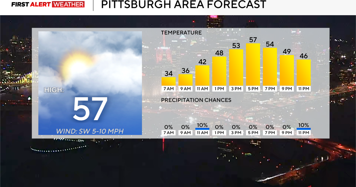
PITTSBURGH (KDKA) - High pressure is settling into the Pittsburgh region Saturday morning following a weak, cold front passage last night. This will lead to a slightly cooler afternoon compared to Friday with highs ranging from the upper 60s to the lower 70s under plenty of sun.
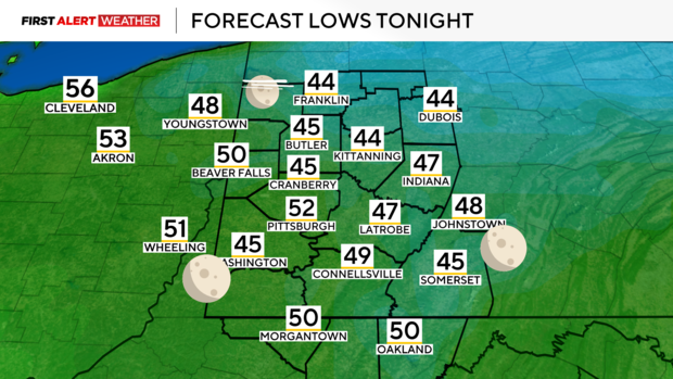
Expect a clear, cool evening and overnight for those who want to view the Northern Lights.
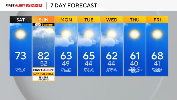
Saturday night into Sunday morning, winds will abruptly shift to the southwest bringing back another surge of unseasonably warm air. Highs will likely top out in the upper 70s to low 80s ahead of a more potent storm system and its associated cold front.
The warmth will be accompanied by increasing low-level moisture through the day as well, so the area will likely build up some instability for the development of scattered showers and thunderstorms late Sunday afternoon and evening. Models have been trending slightly higher on the available moisture and instability, so the likelihood of severe weather is looking slightly better than in previous days.
Currently, the Storm Prediction Center has the coverage area under a level 1 out of 5 "Marginal Risk" for severe storms, but this may be upgraded to a 2 out of 5 "Slight Risk" if confidence continues to increase in the next 24 hours.
Strong wind gusts and hail would be the primary risks with any cells that briefly pulse up. There is a low-end tornado risk, especially closer toward I-80 across Northwest PA and Northeast OH where low-level winds may turn more southeasterly increasing the amount of low-level shear. Storms would likely develop by early to mid-afternoon around 2 p.m. to 3 p.m. in central and eastern Ohio and then move into western Pennsylvania by early evening.
For those headed to the Steelers game on Sunday evening, keep an eye on the radar and bring some rain gear as there will likely be some storms around game time. As quickly as the front moves in, any showers and ongoing storms will exit the region between 10 p.m. and after midnight Monday, leading to breezy northwest winds and cooler air moving in from the northwest.
A more persistent cool weather pattern will settle in the region next week as a trough of low pressure settles just to our northeast. This will lead to several days of northwest winds with highs in the low 60s and lows in the 40s allowing for a true taste of fall.
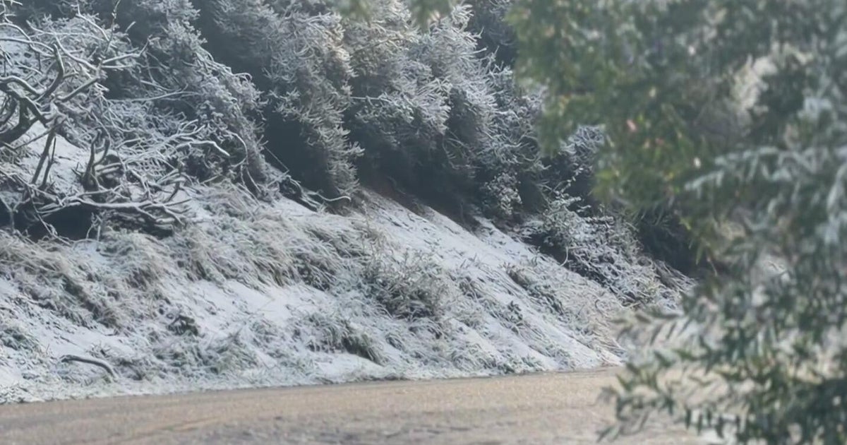
As winds become calmer under high pressure by next Thursday and Friday, the first frost of the season will be likely, especially for areas of the Laurel Highlands and the Ridges.
