Clouds begin to clear through Sunday in Pittsburgh with potential storms next week
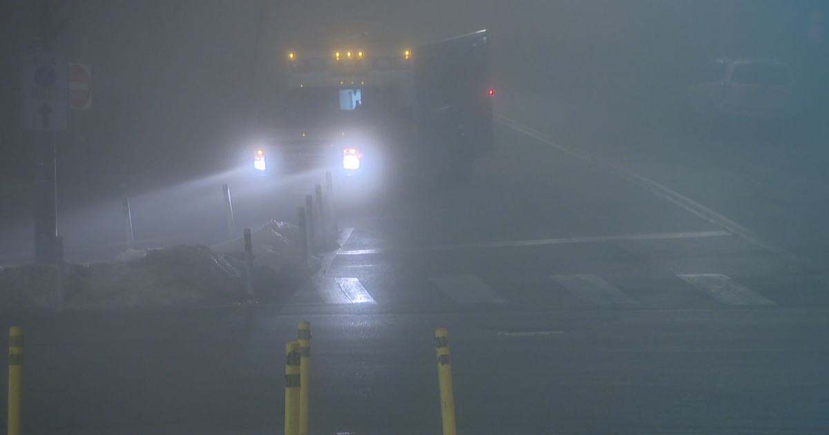
PITTSBURGH (KDKA) - Widespread cloud cover and patches of drizzle continue early this morning. A breeze out of the northwest has prevented fog so far and will likely continue to do so this morning.
Clouds should slowly begin to dissipate by late afternoon and evening as winds aloft in the atmosphere begin to increase and bring in some dry air. The most likely areas to see some clearing will be east and south Pittsburgh with more clouds toward Northwest PA.
WEATHER LINKS:
Current Conditions | School Closings & Delays | Submit Your Weather Photos
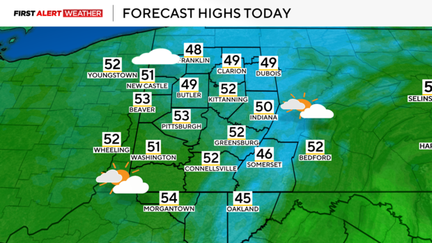
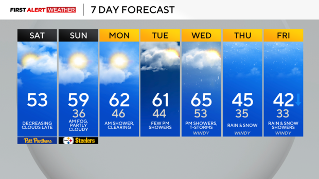
Temperatures will be close to seasonable levels with highs in the low to mid-50s. High pressure will move across our area late Saturday night into Sunday morning leading to mostly clear/partly skies and calm winds. This could promote the development of fog Sunday morning especially over central and eastern parts of Western PA as air temperatures drop very close to dew point temperatures.
Once the fog clears, Sunday should start mainly sunny, then temperatures will warm up quickly as a southwest wind at the surface and aloft transports warmer air into the region. There will likely be more high-level clouds to move in through the day which will lead to filter sunshine.
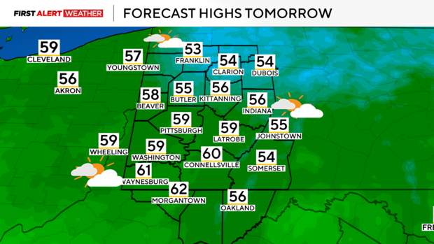
Highs will likely max out in the mid-50s to lower 60s. For those headed to the Steelers game, no major weather impacts are anticipated at this time.
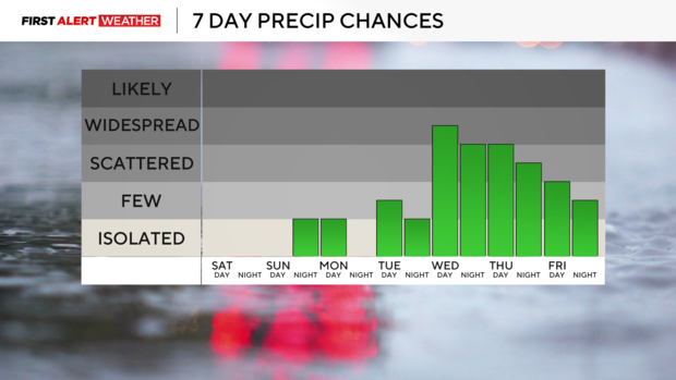
The increasing clouds Sunday evening will prelude the next chance for a shower Sunday night into Monday morning as a weak disturbance aloft and a cold front swing in from the northwest.
The latest models show a pretty large layer of dry air, so we've reduced coverage expectations for Sunday night into Monday morning's rain chance. This cold front will likely not clear the area on Tuesday, so we will stay in the mild air mass for Tuesday and Wednesday ahead of another strong area of low pressure that will rapidly develop over the Mid-Mississippi Valley and track toward Western PA Wednesday night into Thursday. In the warm air mass ahead of the low, showers and thunderstorms are likely to occur Wednesday afternoon and evening as temperatures will likely warm well into the 60s.
As colder air wraps in around the backside of the system Thursday into Thursday night, precipitation will change over and or mix with snow for portions of the area. While temperatures aloft in the atmosphere will be cold enough to allow snow to occur, low-level temperatures will be fairly warm going into the event, which will be an issue for getting accumulation outside of the higher terrain of the Laurel Highlands and near Lake Erie.
This is a dynamic storm system, so areas in the higher terrain could see decent accumulation out of this system while lower terrain may have mixing issues with rain. We are still several days out from when this projected system is expected to impact, so any shifts in the track and timing of this system will result in adjustments to the forecast.
Stay up to date with the KDKA Mobile App – which you can download here!
