Forecasters Expect More Than 300 Records To Shatter Across U.S. During Fall Arctic Blast
By Judson Jones, CNN Meteorologist and Leah Asmelash, CNN
(CNN) -- Don your jackets and mittens, East Coasters. You're going to need them.
The next five to seven days won't just be cold -- they'll be record-breaking.
That's according to data from the National Weather Service, which predicts more than 300 record cold temperatures could be tied or set from Monday to Wednesday.
It's all part of the Arctic blast that's hitting the East Coast, bringing the coldest air of the season to the eastern two-thirds of the country. On Monday, temperatures are expected to plummet in the Great Plains before moving farther east on Tuesday and Wednesday.
Lows Monday night into Tuesday morning will be more like January temperatures across the Central US. Readings below zero are forecast for parts of Minnesota and temperatures down into the teens are forecast for as far south as Texas.
On Wednesday, almost 100 record lows could be set from the Deep South to the Northeast.
Some places in the East could experience temperatures on Wednesday afternoon that are up to 30 degrees below average, said CNN meteorologist Taylor Ward.
Freeze watches and warnings extend as far south as Florida.
The harsh weather was already having an impact on transportation. An American Eagle flight slid off the runway Monday morning at Chicago O'Hare International Airport. There was light snow with visibility of less than a mile, wind gusts of 30 miles per hour and a temperature of 23 Fahrenheit.
As of 1 p.m. ET, more than 900 flights heading to or leaving O'Hare and Midway International Airport were canceled due to weather conditions.
Snow will fall from the Rockies to New England
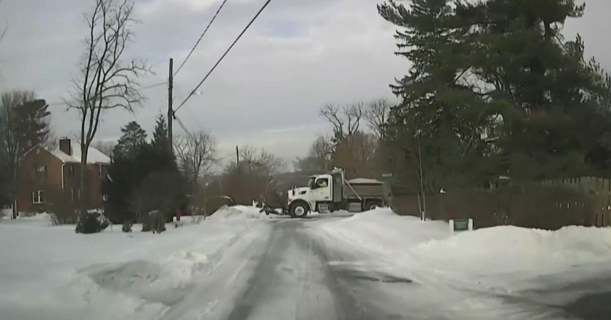
More than 70 million people could see accumulating snow from Colorado to Maine, says CNN meteorologist Dave Hennen. Winter warnings or advisories stretch from the Midwest to New England.
Snow fell during Monday morning commutes in Detroit, Kansas City, Chicago and Milwaukee.
The heaviest snow will fall from New England, back toward the Great Lakes, where more than a foot of snow is likely in some locations.
Enhanced lake-effect snow is forecast to produce even higher snow totals in the areas where the snow bands set up. That happens when very cold, windy conditions form over a not-so-cold lake, with the water providing a water source that leads to snow.
The-CNN-Wire
™ & © 2019 Cable News Network, Inc., a WarnerMedia Company. All rights reserved.

