David Morgan/CBS
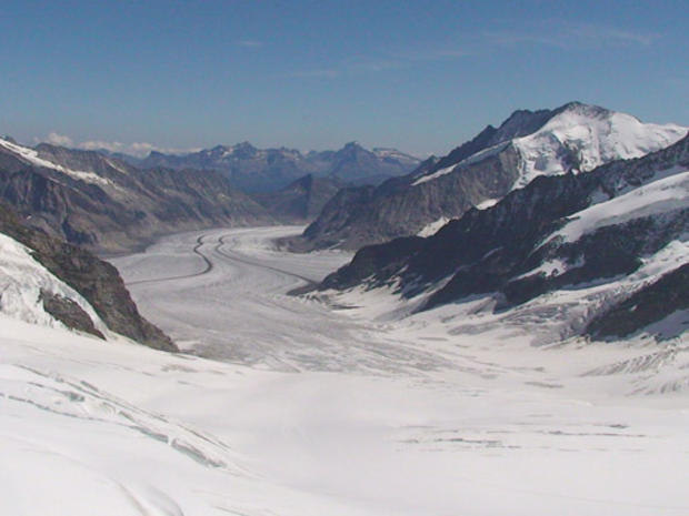
In the Bernese Alps region of Switzerland, which feature more than 600 kilometers of walks and mountain bike paths, one of the more beautifully haunting is the Eiger Trail. Running underneath the daunting North Face of the Eiger, the 8-kilometer trail extends from a receding glacier beneath the towering mantle of the Jungfrau to the community of Grindelwald.
By CBSNews.com producer David Morgan
David Morgan/CBS
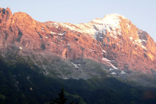
The Eiger is one of the most challenging peaks for mountain climbers - at least 64 climbers have died while attempting to reach its summit via the treacherous North Face, nicknamed Mordwand, "Wall of Death." But hikers who walk its base can also bask in the beauty of the nearly vertical limestone cliffs, shooting up amidst rolling pastureland, spiked by gushing waterfalls and streams. The Eiger Trail give non-mountaineers a close look at the rugged Alpine peaks and the sweeping vistas that make this area one of the most popular stomping grounds for walkers.
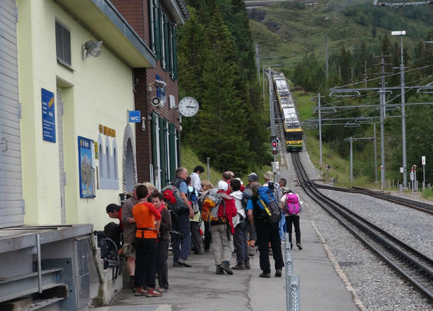
David Morgan/CBS
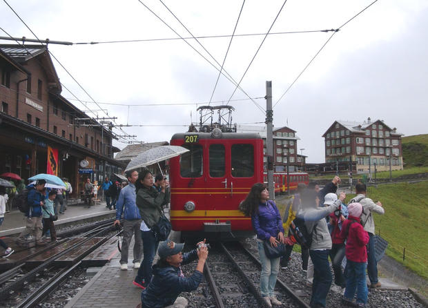
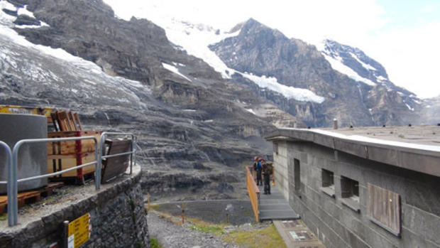
The Eiger Trail begins (or ends, depending upon your direction of travel) at the rail station Eigergletscher - the first stop between Kleine Sheidegg (pictured here) and the Jungfraujoch, the highest train station in Europe.
David Morgan/CBS
The Jungfraujoch rail line, completed in 1912, takes visitors to an altitude of 3,454 meters (11,332 feet), and to stunning scenes of glaciers.
The Jungfraujoch, at the top of Europe.
David Morgan/CBS
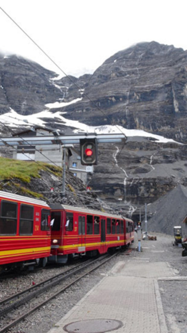
Just short of entering the tunnels that burrow though the Eiger and Monch mountains on its way to Jungfraujoch, the train lets you off at Eigersgletscher.
Jungfrau.ch
When first opened the station was located on the very edge of a monumental glacier. The Monch is in the background.
David Morgan/CBS
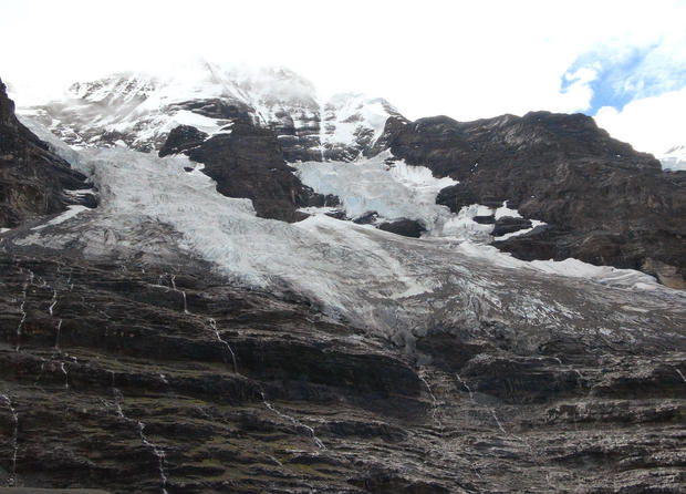
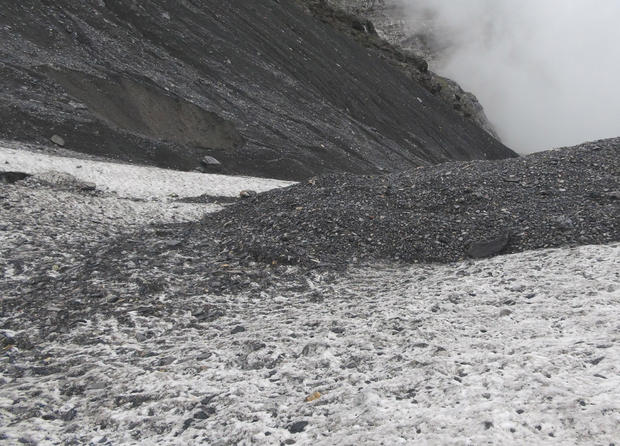
Due to global warming the glacier has receded dramatically in recent decades. It's lost about 300 meters - about 3 football fields in length - in just five years.
David Morgan/CBS
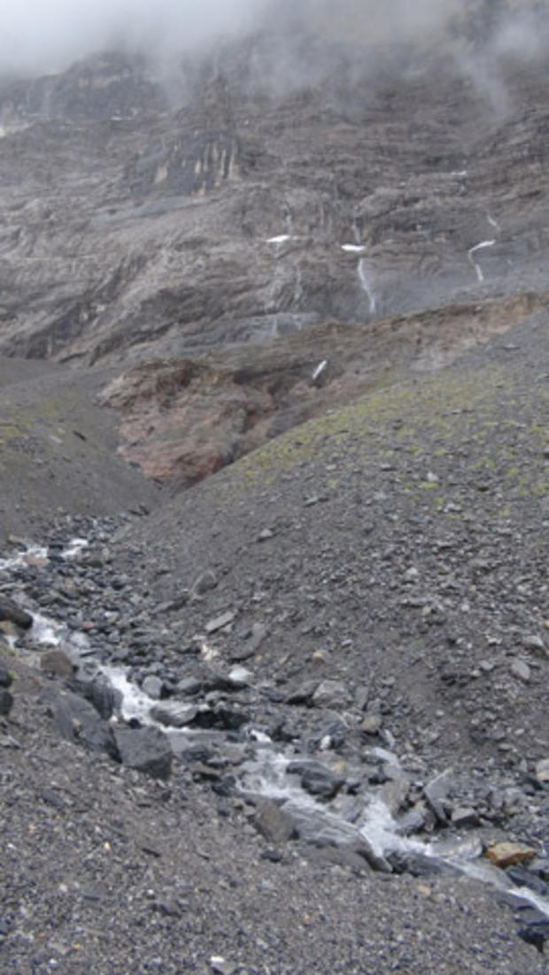
As the glacier melts into runoff, rocks, boulders and silt carried by the ice are deposited on the ground, leaving a lunar-like landscape of shale fragments.
Jungfrau.ch
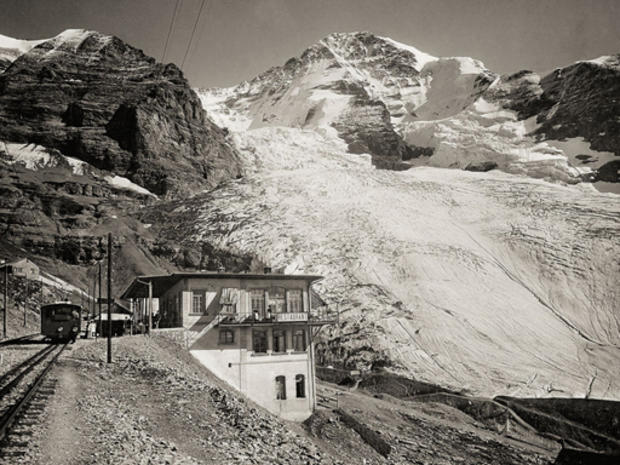
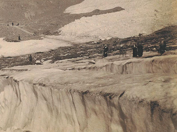
An archive photo of visitors on the Eigergletscher c. 1900.
David Morgan/CBS
The Eigergletscher in August 2011.
David Morgan/CBS
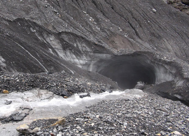
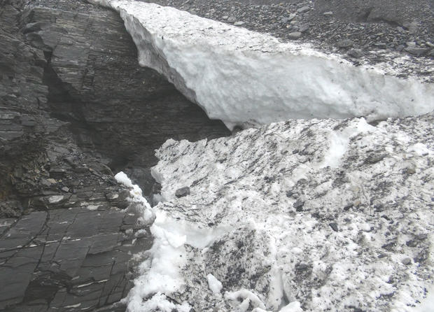
When rockfalls cover the ice, shielding it from the sun's rays, the protected ice instead becomes prone to erosion from underneath. Here a tunnel has been burrowed into the ice sheet by a stream of runoff from the mountain.
David Morgan/CBS
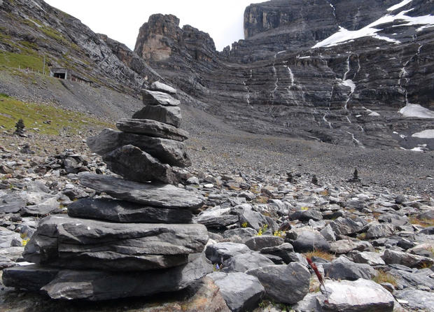
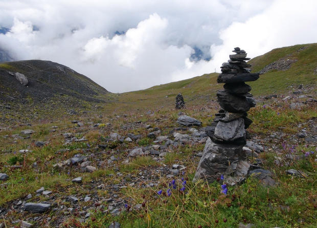
The area is a Mecca for climbers from around the world, and many leave a testimony to the mountains with these rock cairns.
David Morgan/CBS
One must now walk pretty far up the mountainside to reach a patch of ice.
David Morgan/CBS
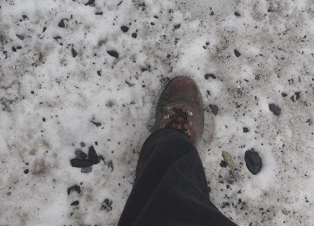
Lesson to self: When stepping onto a patch of ice that covers a flow of mountain runoff, do not expect it to hold your weight. Here a large slab of ice about 20 feet long and 3-4 feet thick cracked and fell into the torrent of water below my feet, not far from the ice-tunnel. After scrambling up onto the ground, and realizing I was about a kilometer from the nearest human being, I failed to keep "127 Hours" out of my mind.
David Morgan/CBS
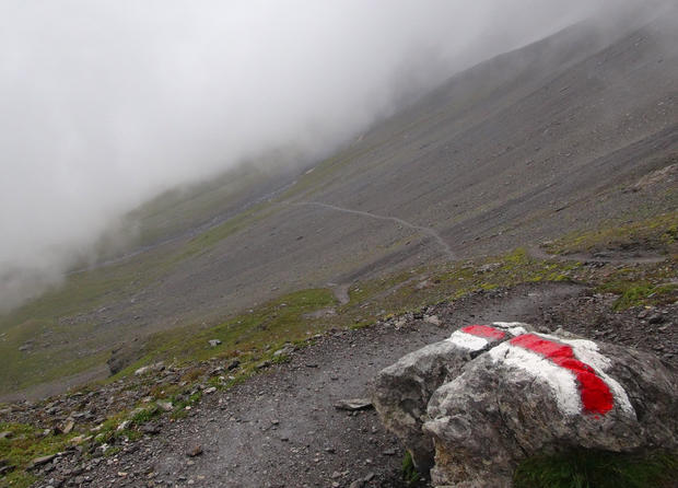
Retracing my steps to the Eigergletscher rail station, I picked up the start of the Eiger Trail - elevation 2,320 meters (7,611 feet).
David Morgan/CBS
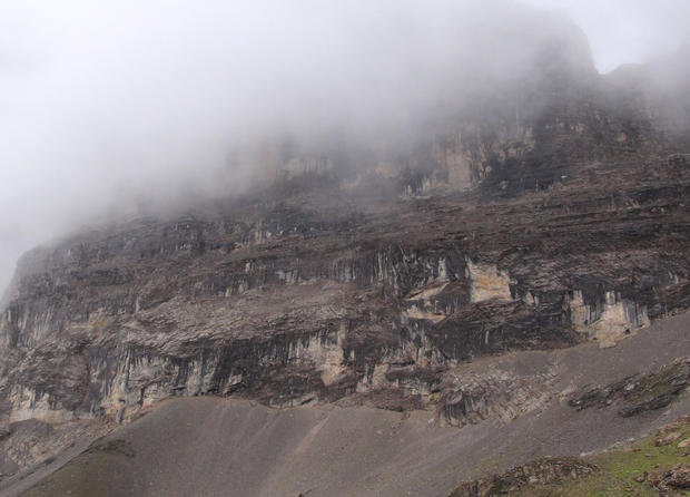
Above, the rock face stretched straight up into the clouds.
David Morgan/CBS
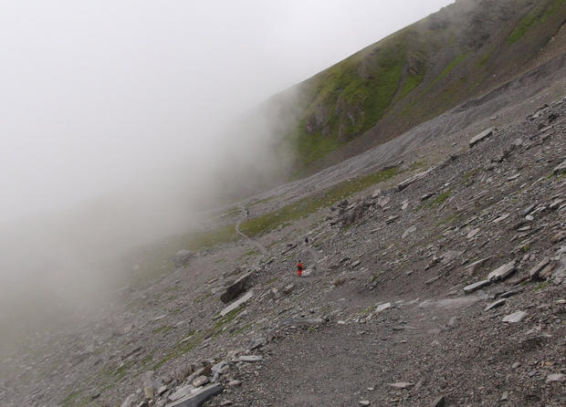
On this day there were few other souls on the trail, and most were traveling up to Eigergletscher - hiking uphill being a little easier on the knees, though adding a half-hour to the two-hour trek.
David Morgan/CBS
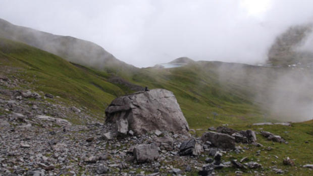
Boulders sprinkled the ground beneath the Eiger's North Face.
David Morgan/CBS
The sun broke through, then retreated several times, as the drizzle made for a slippery walk down.
David Morgan/CBS
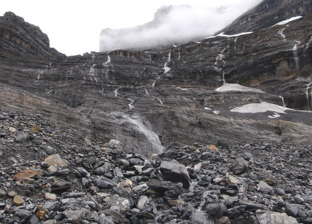
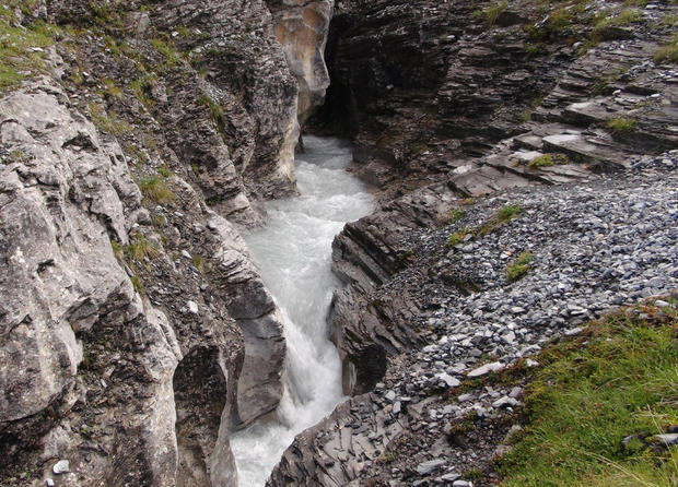
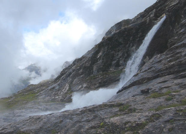
With heavy rains that morning, the waterfalls were especially bountiful.
David Morgan/CBS
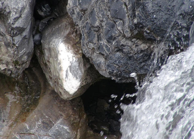
Pyrite (fool's gold) - a tempting-looking nugget in the raging stream.
David Morgan/CBS
More cairns dot the landscape, including near where an Austrian-German team made the first successful climb of the Eiger's North Face in 1938 - and where so many others failed.
David Morgan/CBS
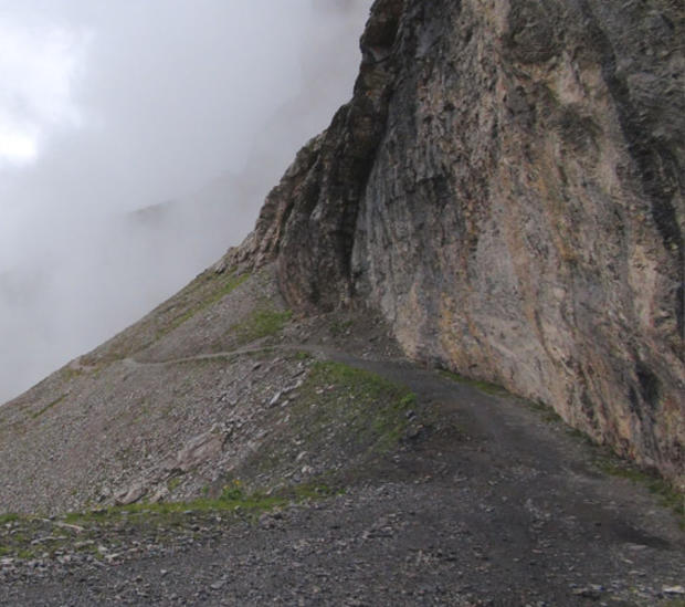
Walking so closely to the mountain's edge gives a strong impression of its seeming insurmountability.
David Morgan/CBS
A rushing waterfall.
David Morgan/CBS
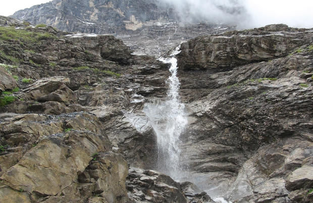
There were many waterfalls and streams cutting across the trail, and only a couple of man-made bridges to ford them.
David Morgan/CBS
Waterfalls reach down the mountain's slope like tentacles.
David Morgan/CBS
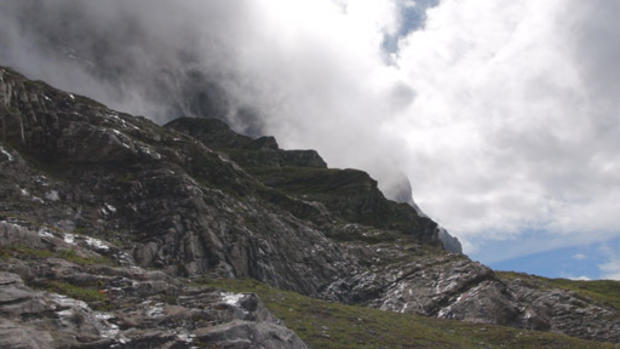
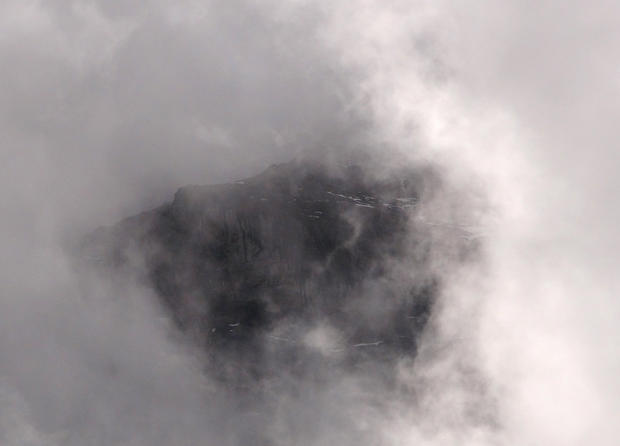
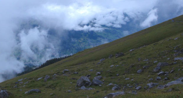
The clouds taunted with fleeting views of the Eiger's summit.
David Morgan/CBS
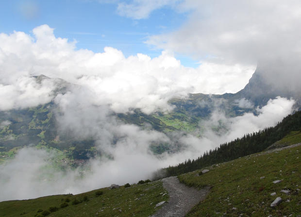
Blue sky broke through the mists to reveal the surrounding mountainside.
David Morgan/CBS
Weather conditions in the Alps are highly changeable, very quickly.
David Morgan/CBS
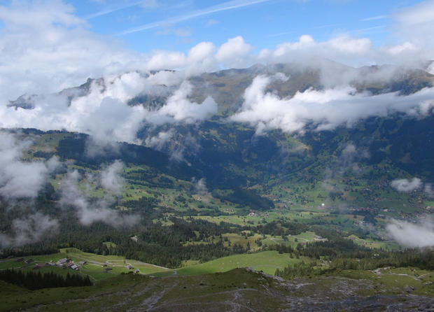
As the sky cleared, Grindelwald could be viewed in the valley below.
David Morgan/CBS
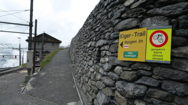
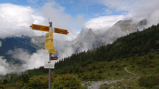
The trail breaks to Alpiglen, elevation 1,616 meters (5,300 feet) - a steep trek down a rocky trail to a train stop - or continues on to Grindelwald.
David Morgan/CBS
Having descended 2,300 feet, the train at Alpiglen helps ease the descent further.