Pictures of Mars, the red planet
Since 2004, the Mars Exploration Rover Opportunity has captured stunning images from the surface of the red planet. The solar-powered vehicle has been in continuous operation for years and serves as NASA's "ground team" for Martian exploration.
Mars
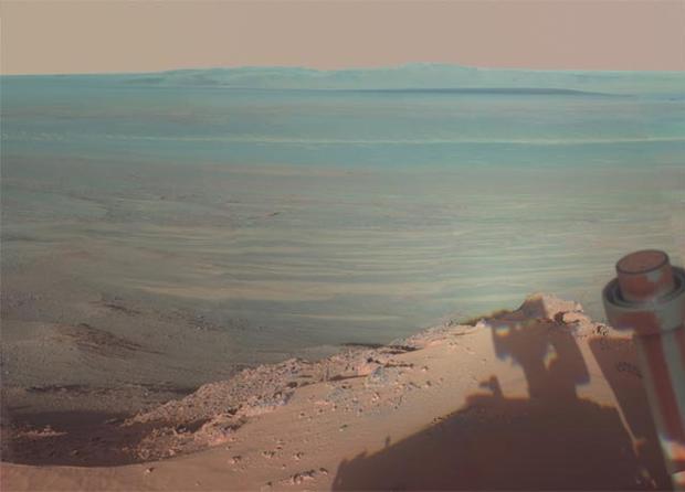
For its fifth Martian winter, Opportunity is stationed on the side of a crater that scientists named "Greeley Haven." The spot offers an excellent location for recharging Opportunity's solar batteries, as well as providing incredible Martian vistas like this picture, taken in January.
Mars
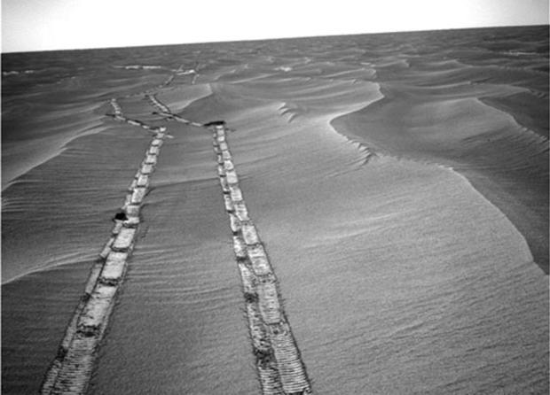
Mars is a lonely place. The Opportunity rover took this image during a trek from one crater to another in May, 2010. For reference, the distance between the wheel tracks is three feet.
Per NASA's description: "Opportunity took this image on the 2,235th Martian day, or sol, of the rover's mission on Mars (May 8, 2010). The tracks are from a 14.87-meter (49-foot) drive southward on the preceding sol. Mars' southern hemisphere was in the minimal sunshine period close to the winter solstice, which occurred May 13, 2010 (Universal Time)."
Mars
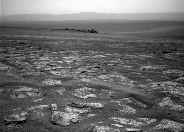
Rovers are equipped with a variety of cameras: color, black-and-white, infrared, ultraviolet. This image comes from the Mars Exploration Rover Opportunity's navigation camera, showing the road ahead as the Opportunity treks to a crater.
Mars
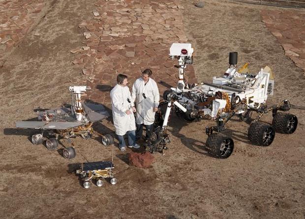
Two space engineers (on Earth) stand with a snapshot of Martian rover history. In the center, the smallest rover is a spare of the Sojourner, the first Mars rover, which landed on the red planet in 1997. To the left is a copy of the Opportunity rover. To the right, a spare of the massive Curiosity rover, which is expected to land on Mars this August. This photo was taken in Pasadena, California, homebase for NASA's Jet Propulsion Laboratory.
Mars
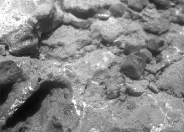
A close-up of Martian rock, taken by one of the Opportunity's "microscopic imager" camera. Studying Martian rocks is important for scientists to get an accurate view of Mars' history. Analyzing minerals and rock formations can offer a more complete view of what Mars is like today, and what it was like millennia ago.
Mars
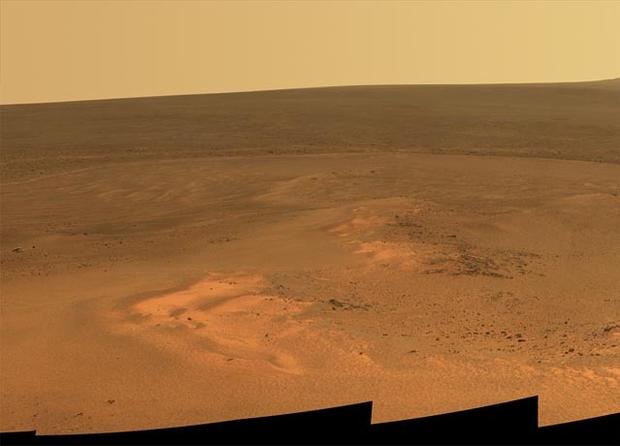
Late afternoon on Mars. This photograph is a natural-light image, taken in late January.
Mars
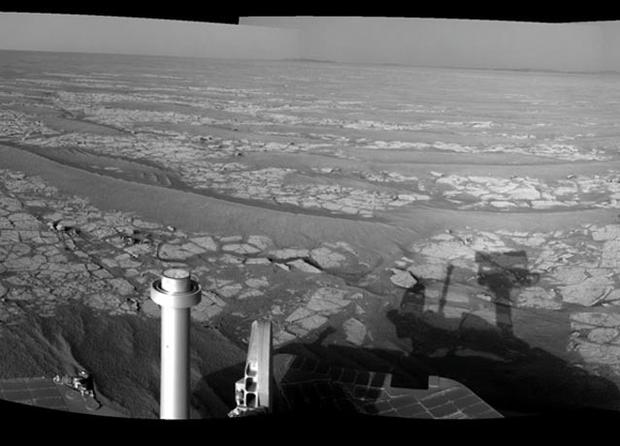
All rovers come equipped with a panoramic camera. When you've got an entire planet to explore, there's no sense in taking pictures in only one direction. This image features a bit of the Opportunity rover itself.
Mars
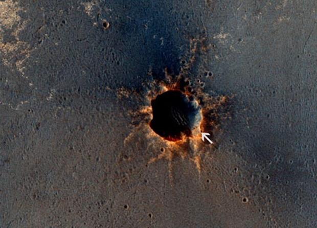
The High Resolution Imaging Science Experiment (HiRISE) camera on NASA's Mars Reconnaissance Orbiter acquired this color image on March 9, 2011, of "Santa Maria" crater, showing NASA's Mars Exploration Rover Opportunity perched on the southeast rim. The rover is perched on the lower-right section of the crater (which the arrow helpfully indicates.)
Mars
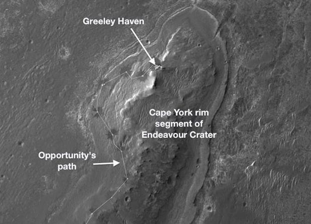
This image, taken by the HiRISE camera, shows the path Opportunity took to make it to Greeley Haven. Research activities while at Greeley Haven include a radio-science investigation of the interior of Mars, inspections of mineral compositions and textures on the outcrop, and monitoring of wind-caused changes on scales from dunes to individual soil particles.
Mars
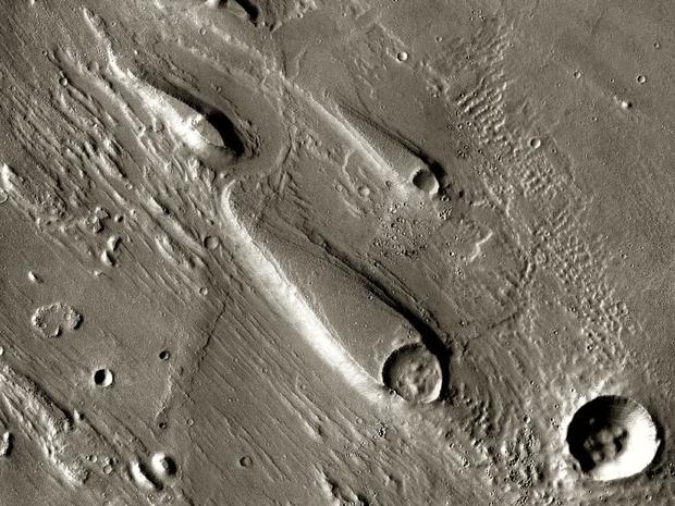
In search for evidence of water on Mars, Odyssey - a robotic spacecraft that orbited Mars - captured images which scientists believe indicates a history of flood waters with peak volumes many times the flow of today's Mississippi River.
The teardrop shaped land trailing off from the craters shows how the raised rims of the impact craters diverted raging waters, protecting the nearby ground from the erosion that formed the pennant-like shapes of remaining soil.
After completing its primary mission objectives in 2004, Odyssey's Thermal Emission Imaging System (THEMIS), operated by the University of Arizona, began to photograph Mars.
"The extra years have allowed us to build up the highest-resolution maps covering virtually the entire planet," said Odyssey Project Scientist Jeffrey Plaut of NASA's Jet Propulsion Laboratory, in Pasadena, Calif.
Mars
NASA's Mars Odyssey observed the Red Planet longer than any other spacecraft in history.
After entering Mars' orbit on October 24, 2001, the spacecraft has made countless contributions to space exploration.
In early 2002, Odyssey detected hydrogen just below the surface along the planet's high-latitude regions.
Hypothesizing that the hydrogen is in frozen water, NASA sent the Phoenix missions to confirm the suspicion, a fact which was authenticated in 2008.
Further research contributions included the spacecraft assessing the possibility of human occupation of Mars by taking readings on radiation levels at potentially habitable sites to aid in the planning of future maned missions.
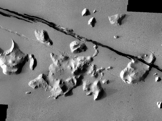
Here, formation of the nearby Elysium Volcanic field has created fault lines on Mars, and may have contributed to the release of pressurized underground water, which the Odyssey confirmed.
Mars
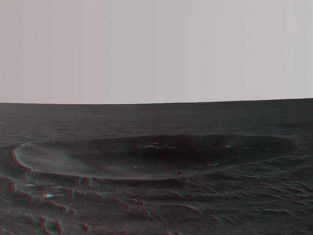
Image of the "Yankee Clipper" crater on Mars. NASA's Mars Exploration Rover Opportunity took this photo on its 2,410th Martian day, or sol, of work on the Red Planet.
Mars
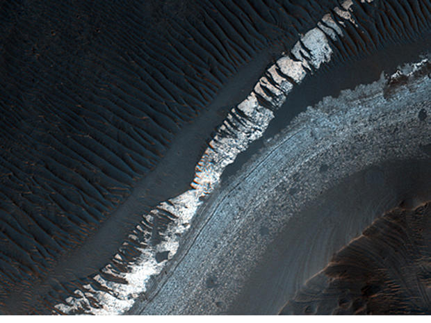
The Holden Crater on Mars may once have been a lake. Scientists report that the crater contains "some of the best-exposed lake deposits and ancient megabreccia known on Mars," according to Alfred McEwen of the UA's Lunar and Planetary Laboratory. "Both contain minerals that formed in the presence of water and mark potentially habitable environments. This would be an excellent place to send a rover or sample-return mission to make major advances in understanding if Mars supported life."
Mars
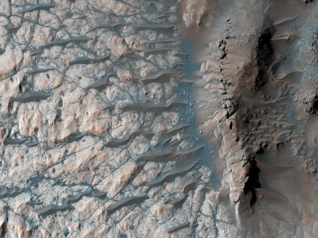
Shot from NASA's Mars Reconnaissance Orbiter, the floor of a large impact crater in the planet's southern highlands.
Mars
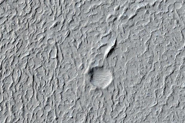
With its smooth surface and sparseness of sizeable craters, Amazonis Planitia is an example of the most recent period in Martian geological history. (Roughly the first several hundred million years of the planet's life.)
Mars
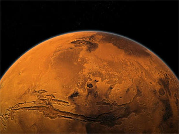
This photograph of Mars shows why it's known as the red planet.
