NASA/JPL-Caltech/University of Arizona
This image in the Cydnus Rupes region of northern Utopia Planitia is an excellent example of the rock and boulder strewn landscapes common to the northern plains of Mars.
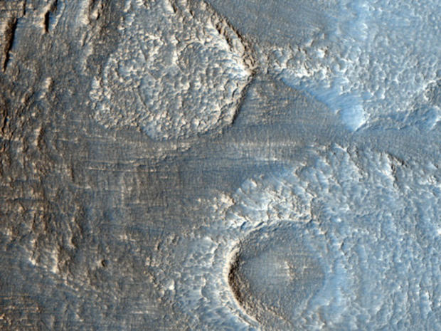
Mesas in Aureum Chaos
NASA/JPL-Caltech/University of Arizona
This image reveals meter-scale (yard-scale) surface textures of mesas and knobs in the Aureum Chaos region of Mars.
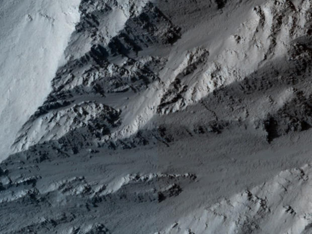
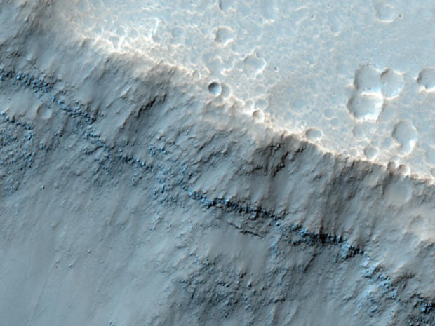
Collapsing Volcano: Edge of Olympus Mons
NASA/JPL-Caltech/University of Arizona
This image covers the northern edge of the largest volcano in the solar system, Olympus Mons on Mars.
Dunes on Floor of Samara Valles, Mars
NASA/JPL-Caltech/University of Arizona
The High Resolution Imaging Science Experiment (HiRISE) camera on NASA's Mars Reconnaissance Orbiter recorded this image on March 4, 2010 of Samara Valles, one of the longest ancient valley systems on Mars.
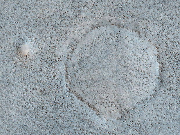
Deposits on the Floor of Palos Crater
NASA/JPL-Caltech/University of Arizona
This image shows a portion of the floor in Palos Crater on equatorial Mars.
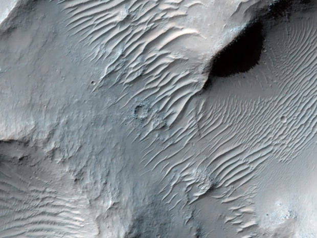
Dust-Mantled Topography near Zephyria Tholus
NASA/JPL-Caltech/University of Arizona
This image covers some high-standing topography just outside the rim of an impact crater about 30 kilometers (19 miles) in diameter near a Martian hill named Zephyria Tholus.
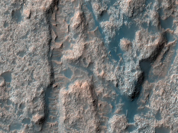
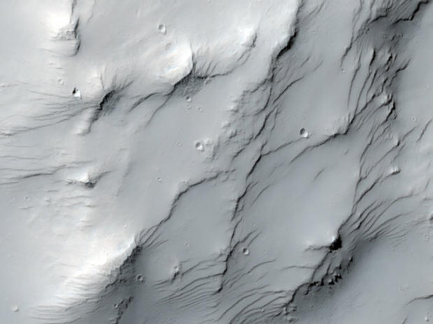
Lobate Debris Apron in Deuteronilus Mensae
NASA/JPL-Caltech/University of Arizona
The terrain in this image lies in the Deuteronilus Mensae region along the highland-lowland dichotomy boundary in the northern hemisphere of Mars.
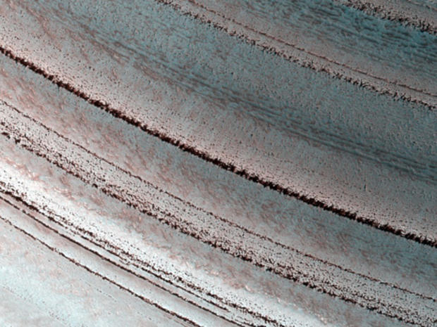
Icy Layers and Climate Fluctuations near the Martian North Pole
NASA/JPL-Caltech/University of Arizona
Just as with the ice sheet in Greenland this Martian ice sheet contains many layers that record variations in the Martian climate.