NASA releases new images of Earth at night
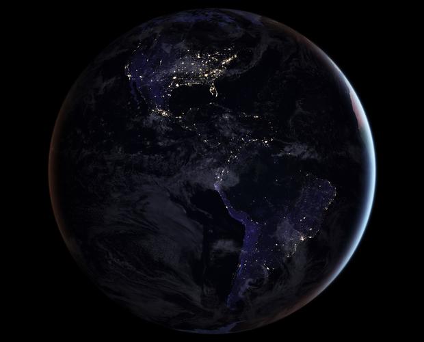
America’s bustling cities shine brightly while a black void across the top of South America marks the location of the Amazon rain forest.
Click here to learn more about how the image and the technology used to capture it will help research in the future.
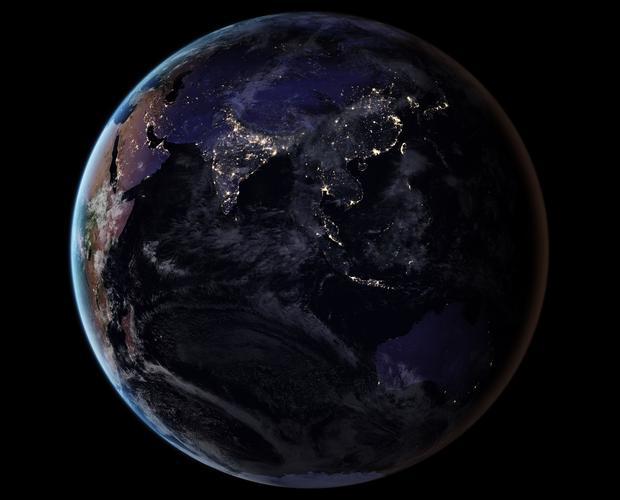
Asia seen from space
Vegetation, clouds, aerosols, snow and ice cover, and even faint atmospheric emissions (such as airglow and auroras) change the way light is observed in different parts of the world.
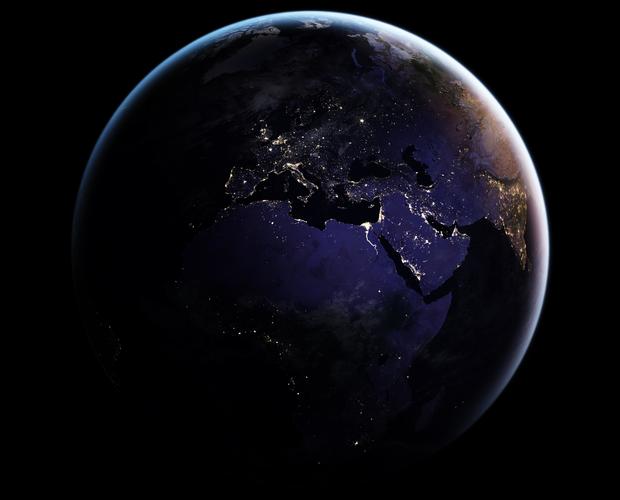
Europe seen from space
Satellite images of Earth at night -- often referred to as “night lights” -- have captured the curiosity of the public and have been a tool for fundamental research for nearly 25 years.
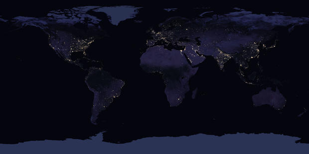
Composite image of all continents at night
By studying Earth at night, researchers can investigate how cities expand, monitor light intensity to estimate energy use and economic activity, and aid in disaster response.
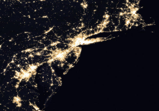
The mid-Atlantic and Northeast region
The East Coast is super bright from being heavily populated.
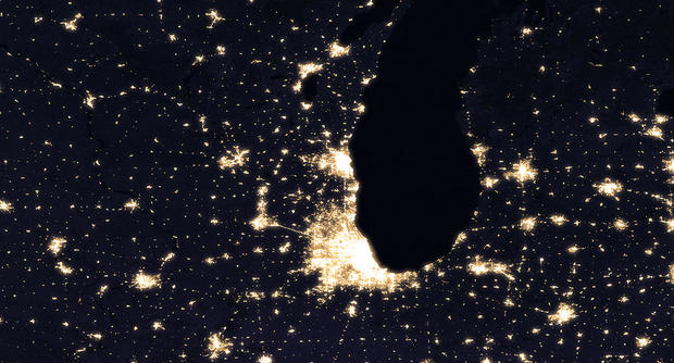
Chicago seen from space at night
The most noticeable difference in the nighttime composite view of Chicago and surrounding areas in 2016 is lighting along a recently expanded section of Interstate 90. This part of the highway, the Jane Addams Memorial Tollway, links Chicago with Rockford, Ill., to the northwest.
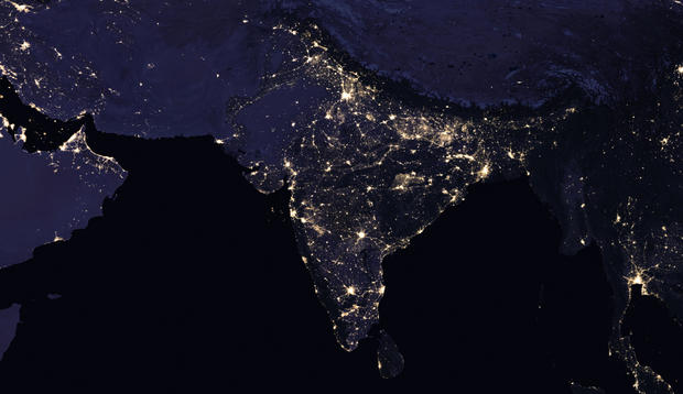
India seen from space at night
In the years since the 2011 launch of the NASA-NOAA Suomi National Polar-orbiting Partnership (NPP) satellite, researchers have been analyzing night lights data and developing new software and algorithms to make night lights imagery clearer, more accurate and readily available.
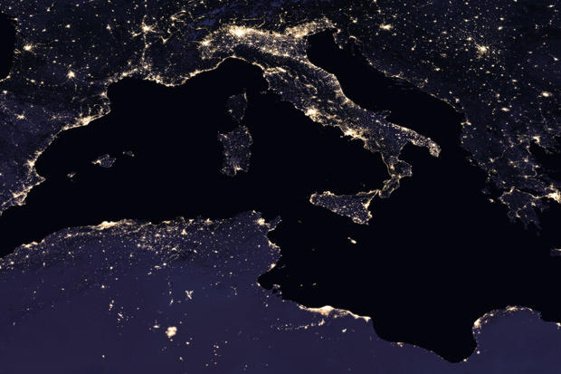
Italy seen from space at night
Heavily populated areas are along the coast as seen in this image.

